The destination journal
Places to discover. A world to remember.
Explore countries, territories and cities through their landscapes, local stories and carefully sourced facts. Then make them part of your own WorldStamped map.
Create your mapExplore the collection
Countries, territories and cities, with cited sources and credited photographs or clearly labelled illustrations.
Showing destinations 126–150 of 409
 City
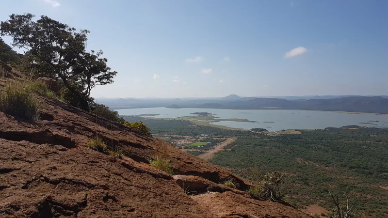
Gaborone
At Kgale View, 77 Stone Age artefacts were collected in situ at 1–3 m depth; a TL result of 143,537 ± 24,487 years BP is a minimum age for them.
Explore GaboronePhotograph: CNJerem · Photo source · CC BY 4.0
 Country
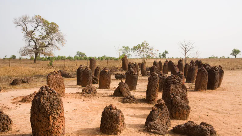
Gambia
Wassu’s Circle VI charcoal result has a poorly documented context. UNESCO lists seven river sites; FAO’s 1997 report estimates seasonal salt intrusion.
Explore GambiaPhotograph: Ikiwaner · Photo source · CC BY-SA 3.0
 City
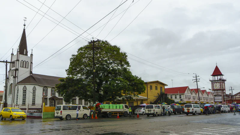
Georgetown
One Stabroek Market dial faces the Demerara River; garden bridges were imported in 1884, and the present lighthouse’s foundation stone was laid in 1830.
Explore GeorgetownPhotograph: Dan Sloan · Photo source · CC BY-SA 2.0
 Country
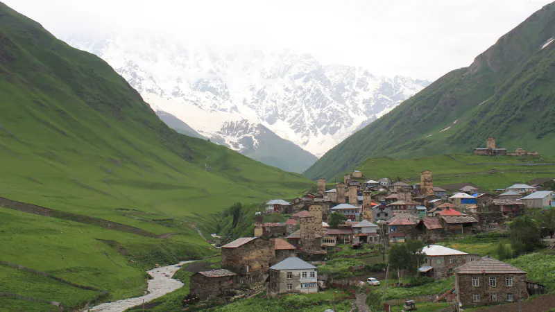
Georgia
Kakheti and Imereti use qvevri differently; Ushguli’s houses had domestic and defensive roles, and Vardzia’s monastery held 235 wine jars in 28 cellars.
Explore GeorgiaPhotograph: Arian Zwegers · Photo source · CC BY 2.0
 Country
Germany
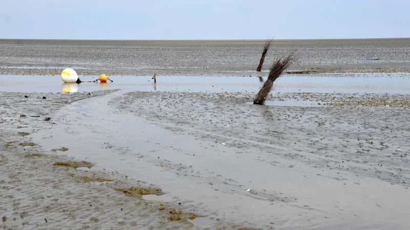
Germany’s North Sea coast: how an Atlantic tide reaches the Wadden Sea, why high water hits Borkum hours before Brunsbüttel, and who protects the flats.
Explore GermanyPhotograph: Olga Ernst · Photo source · CC BY-SA 4.0
 Country
Ghana
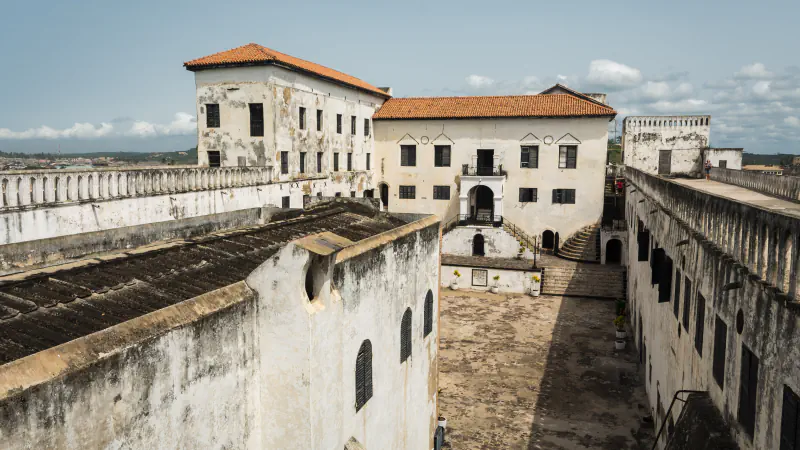
A castle near river and ocean, Asante shrine reliefs and a historical Lake Volta fish-catch record.
Explore GhanaPhotograph: Jones Anlimah · Photo source · CC BY-SA 4.0
 City
Gitega
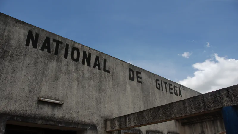
Gitega’s museum dates to 1955; the Alliance Franco-Burundaise mediatheque describes two kits, and the Vatican records a 1990 papal meeting at the city’s cathedral.
Explore GitegaPhotograph: Dave Proffer · Photo source · CC BY 2.0
 Country
Greece
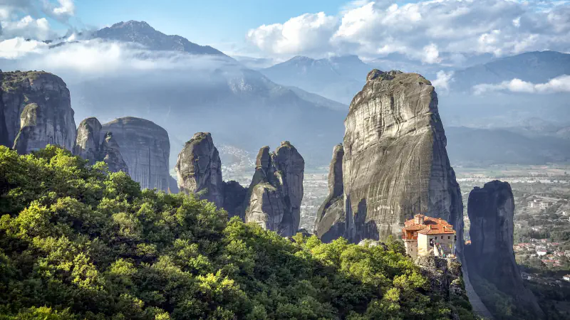
Meteora’s sandstone peaks rise over 400 m; Delphi held the Pythian Games every four years, and Delos became a free port in 167 BC.
Explore GreecePhotograph: KASPAR · Photo source · CC BY-SA 4.0
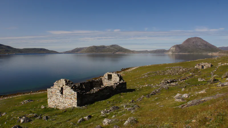 Country
Greenland
Kujataa connects Norse farm remains with Inuit farming in southern Greenland; at Ilulissat, Sermeq Kujalleq carries ice from the ice cap to sea.
Explore GreenlandPhotograph: jtstewart · Photo source · CC BY-SA 2.0
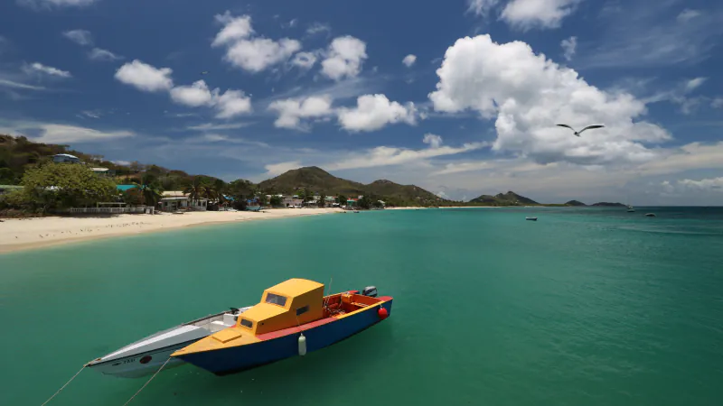 Country
Grenada
Levera Pond’s sea outlet rarely flows; on Carriacou, young godparents traditionally reveal a boat’s name at launch.
Explore GrenadaPhotograph: Vlad Podvorny · Photo source · CC BY 2.0
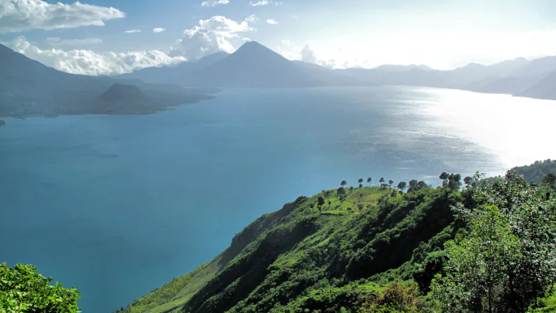 Country
Guatemala
At Tikal, rainwater fed reservoirs; Antigua’s 1773 ruins preserve a Renaissance-inspired street plan, and Atitlán fills a volcanic caldera.
Explore GuatemalaPhotograph: Francisco Anzola · Photo source · CC BY 2.0
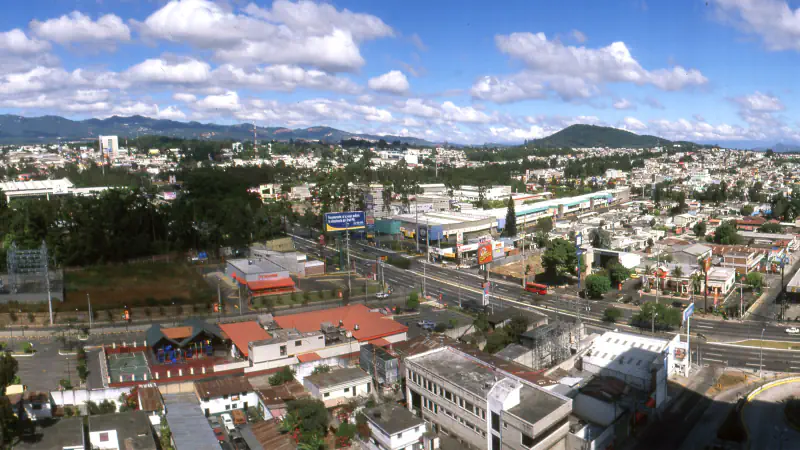 City
Guatemala City
Guatemala City’s 1905 Relief Map has an original hydraulic system for its model rivers and lakes; a sculptural theatre and Museo Popol Vuh add other forms.
Explore Guatemala CityPhotograph: LBM1948 · Photo source · CC BY-SA 4.0
 Country
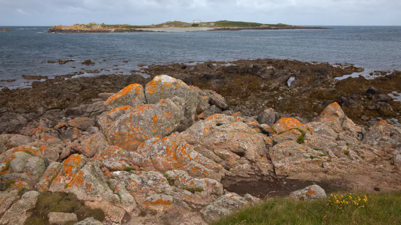
Guernsey
Guernsey in three places: the prehistoric mounds of Les Fouaillages and Le Déhus, the Ramsar shore around Lihou, and the measured night sky of Sark.
Explore GuernseyPhotograph: Unukorno · Photo source · CC BY-SA 3.0
 Country
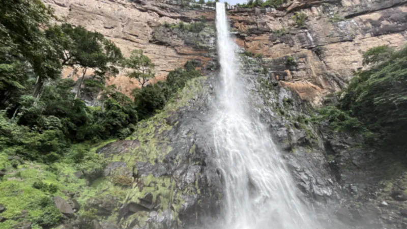
Guinea
At Bossou, chimpanzees crack oil-palm nuts; Guinea’s 2026 Fouta Djallon submission describes bowal plateaus, and UNESCO records Sosso-Bala’s teaching tradition.
Explore GuineaPhotograph: Aboubacarkhoraa · Photo source · CC BY-SA 4.0
 Country
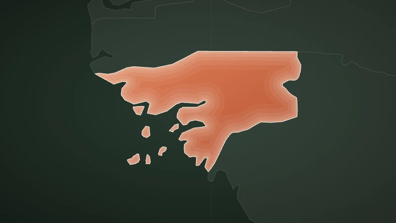
Guinea-Bissau
A 2024 study links dense nesting at Poilão to clutch loss; Cacheu records six mangrove species, while Cantanhez chimpanzees dip sticks into honey.
Explore Guinea-BissauIllustration: WorldStamped · Map data · Natural Earth map data, public domain
 Country
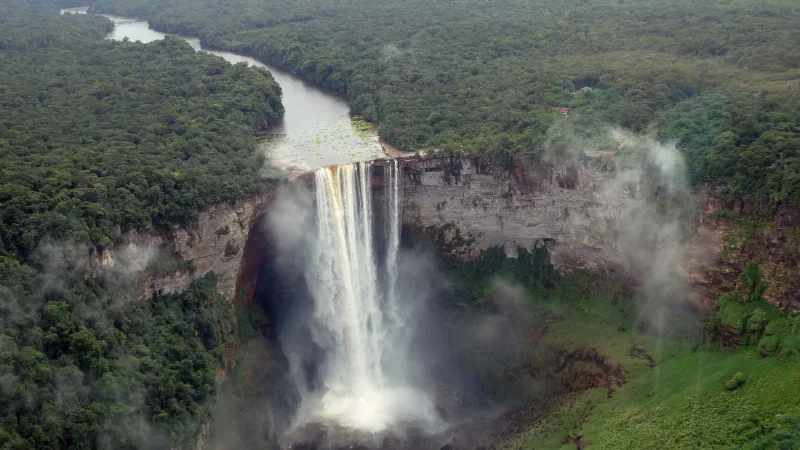
Guyana
Kaieteur’s spray-zone habitat and isolated upstream fish, Iwokrama’s two river systems and Georgetown’s canals show how water shapes places in Guyana.
Explore GuyanaPhotograph: Amanda · Photo source · CC BY 2.0
 Country
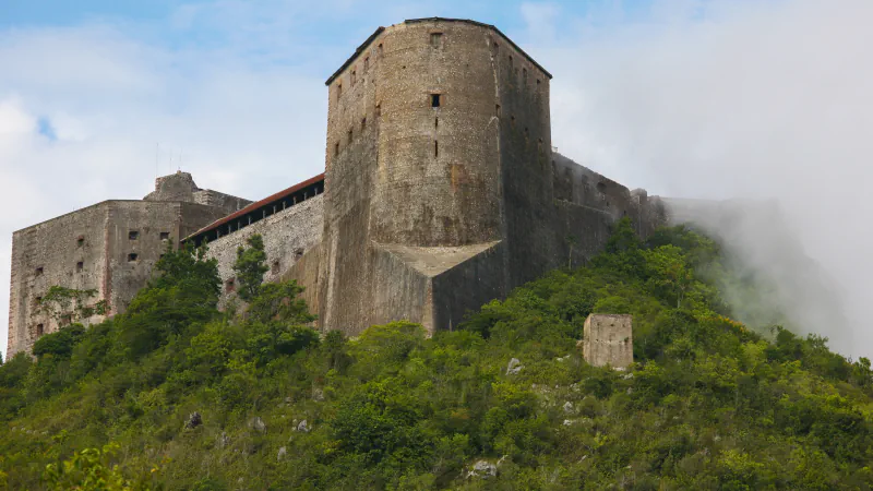
Haiti
Citadelle’s cisterns, a 7.6 m sediment core from Lake Miragoâne and IUCN’s 2011 account of six rediscovered frog species.
Explore HaitiPhotograph: Alex Proimos · Photo source · CC BY 2.0
 City
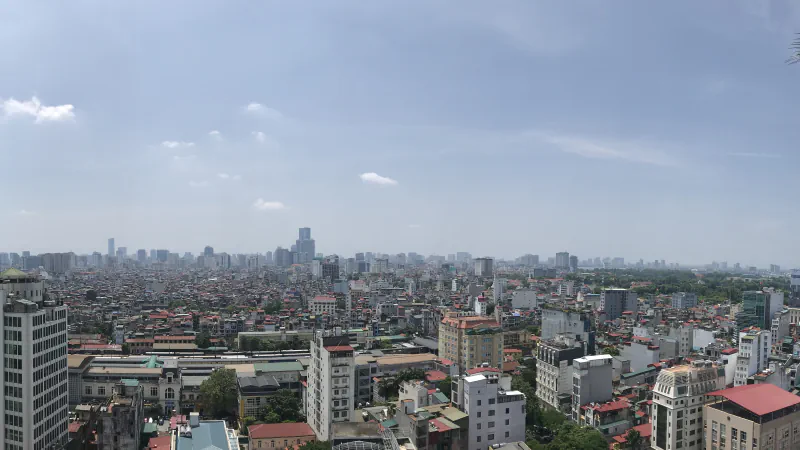
Hanoi
The site says Van Mieu – Quoc Tu Giam in Hanoi keeps 82 stelae naming 1,304 laureates of 1442–1779, beside a square well 30 m per side.
Explore HanoiPhotograph: Ilovemcribs · Photo source · CC BY 4.0
 City
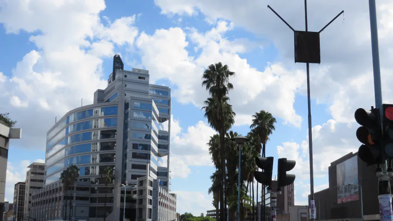
Harare
Harare’s herbarium houses dried specimens and a spirit-preserved collection, mostly succulents; its botanic garden groups woody plants by community.
Explore HararePhotograph: Suesen · Photo source · CC BY-SA 3.0
 City
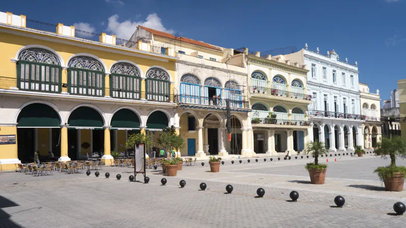
Havana
How Old Havana got its water: the Zanja Real aqueduct, its end by Plaza de la Catedral, and a radar search for courtyard cisterns on Plaza Vieja.
Explore HavanaPhotograph: Bryan Ledgard · Photo source · CC BY 2.0
 City
Helsinki
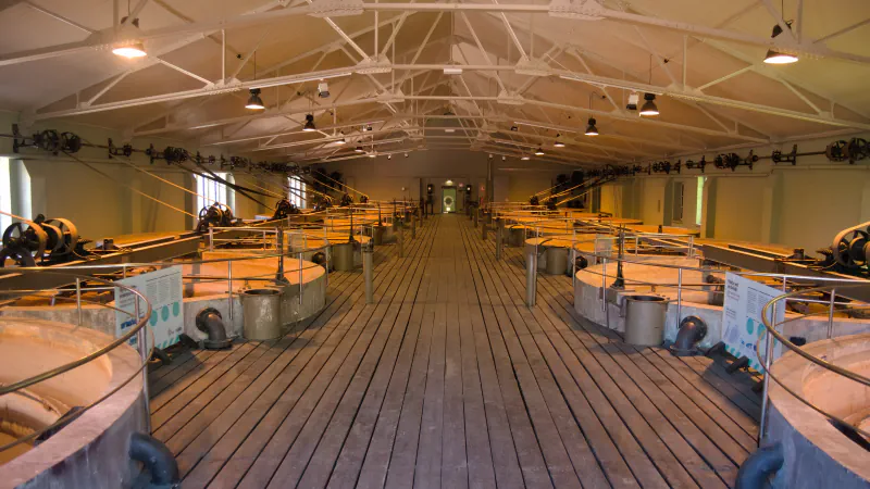
Helsinki’s history is visible in a 1909 filtration hall, a church embedded in bedrock and the 72 m Olympic Stadium tower.
Explore HelsinkiPhotograph: Antti Leppänen · Photo source · CC BY 4.0
 Country
Honduras
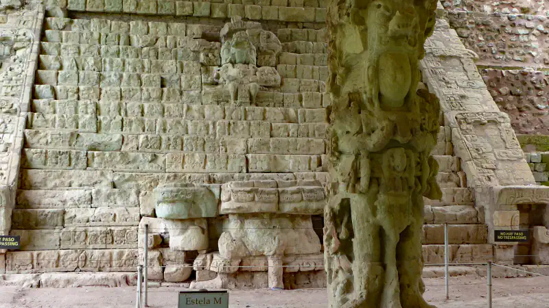
At Copán, 15 of 63 stairway steps remained in place when excavated; Río Plátano protects a full river basin, and a 2024 report assessed 99 Honduran reef sites.
Explore HondurasPhotograph: Hans Birger Nilsen · Photo source · CC BY-SA 2.0
 Country
Hong Kong
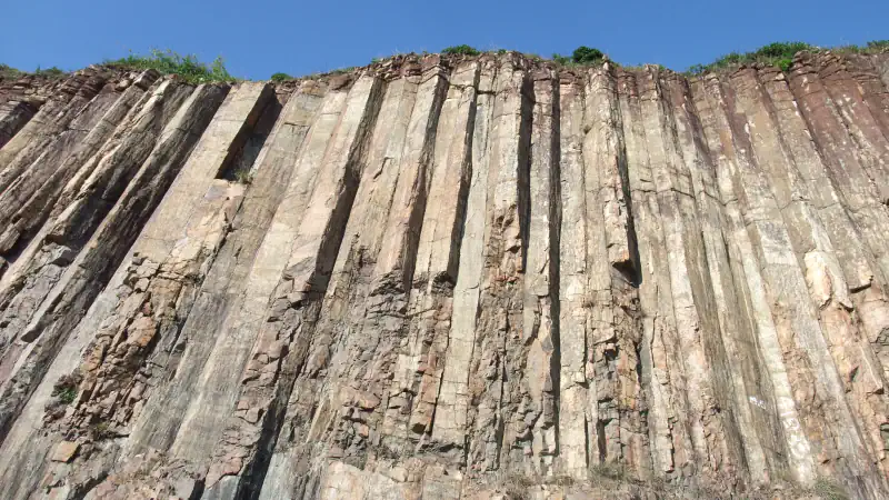
Rhyolite columns at High Island, the shrimp ponds of Mai Po and the 1883 Observatory in Tsim Sha Tsui: three places in Hong Kong, with sources.
Explore Hong KongPhotograph: Minghong · Photo source · CC BY-SA 4.0
 City
Honiara
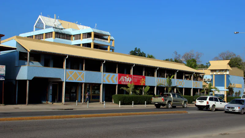
Honiara’s National Museum pairs a gallery theme on land-and-sea livelihoods with village communities; its craft shop also aims to preserve craft-making knowledge.
Explore HoniaraPhotograph: Jenny Scott · Photo source · CC BY 2.0
 Country
Hungary
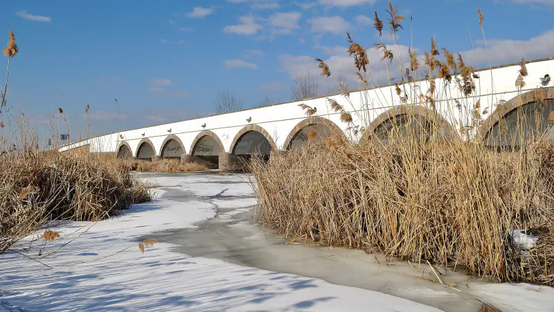
Hortobágy’s open grasslands have dominated its landscape since the end of the Pleistocene; Budapest united three former cities, and Pannonhalma’s abbey dates to 996.
Explore HungaryPhotograph: EtelkaCsilla · Photo source · CC BY-SA 3.0


Your world, stamped with memories
Which places are part of your world?
Mark the countries and places you have visited, keep the memories that go with them, and share your map when you choose. Your profile starts private.
Registration opens your own WorldStamped account. You choose which places to add.