🇬🇲Country
Gambia: Wassu Circle VI and seasonal river salinity
At Wassu, an old charcoal result does not give a precise construction date for Circle VI. UNESCO’s 2003 decision lists a seven-location heritage property, while a 1997 FAO basin report gives historical wet- and dry-season salt-intrusion estimates.
At a glance
- Wassu, Circle VI
- Charcoal sample DaK-2: 1,200 ± 100 BP; the 2022 article flags its poorly documented context and large error margin.[2]
- Kunta Kinteh property, 2003 decision
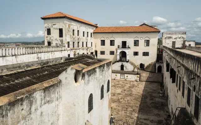
- James Island (now Kunta Kinteh Island): 0.35 ha; seven-site total: 7.5981 ha.[4][3]
- FAO estimate, 1997
- Estimated salt-water reach: roughly 250 km upstream during the dry season, yet only about 70 km in the wet season.[5]
A place worth remembering
Wassu Circle VI: what the charcoal result can show
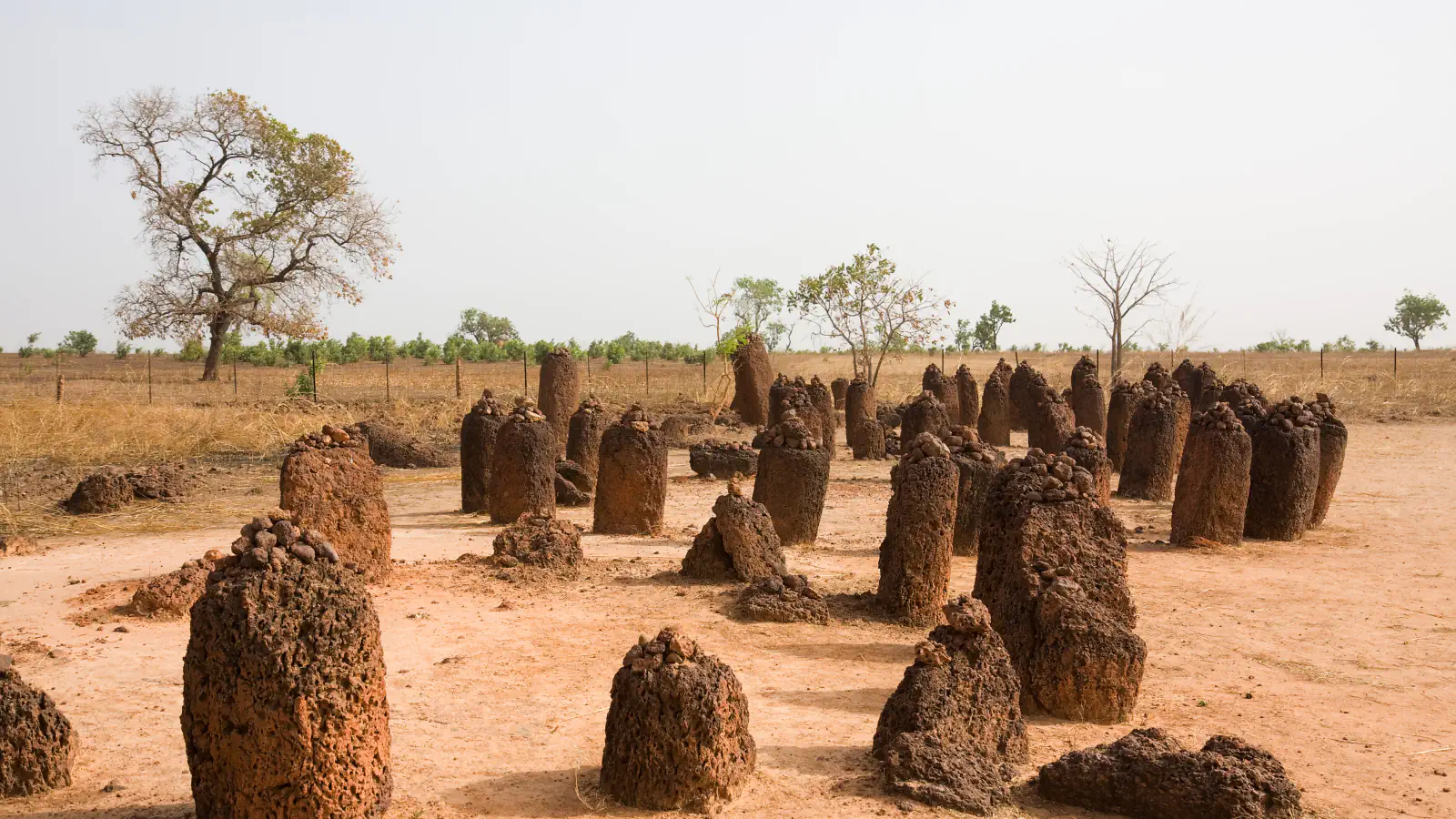
Wassu is one of two Gambian groups in UNESCO’s four-part Stone Circles of Senegambia listing. The World Heritage entry counts 11 circles at Wassu together with their frontal stones. Laporte and colleagues’ 2022 article discusses a 1,200 ± 100 BP radiocarbon result from charcoal sample DaK-2 at Circle VI. The article places the sample about 90 cm beneath the ground level inside the circle. The authors say little is known about its stratigraphic context and that the error margin is now considered very large. Their new dates chiefly concern Wanar in Senegal, a different site, so the Circle VI charcoal result cannot be treated as a precise construction date.[1][2]
Seven locations make up the listed river property
A 1997 estimate of seasonal salt intrusion
FAO’s 1997 basin report gives different estimated reaches of salt water by season: roughly 250 km upstream during the dry season, yet only about 70 km in the wet season. It links the longer dry-season reach to low river discharge and flat terrain. These are estimates in that dated report, not current monitoring readings.[5]
Good to know
A few clear answers before you explore.
Does the Circle VI result give a precise construction date?
No. The 2022 article associates 1,200 ± 100 BP with charcoal sample DaK-2 from Wassu Circle VI. It places the material roughly 90 cm beneath the circle’s interior ground level, but says little is known about the stratigraphic context and notes that the error margin is now considered very large. The article’s new dates chiefly concern Wanar in Senegal.[2]
Does 0.35 ha describe the whole UNESCO property?
No. The 2003 decision assigns 0.35 ha to James Island and reports 7.5981 ha for all seven locations combined. The current UNESCO listing uses Kunta Kinteh Island for the island.[4][3]
Are FAO’s salt-intrusion distances current readings?
No. The figures are estimates in FAO’s 1997 basin report, not a current monitoring series. It puts the wet-season reach at up to about 70 km and the dry-season reach at 250 km.[5]
The WorldStamped community
Every visit becomes part of a story.
- Members with public visits
- 0
- Places with public visits or memories
- 0
- Public memories
- 0
No public visits have been counted here yet. Add this destination to your own map and choose what you want to share.
Members are counted once. Counts include only eligible public activity from profiles that allow search discovery. Private and followers-only content is excluded.