🇩🇪Country
Germany: the North Sea tide and the Wadden Sea coast
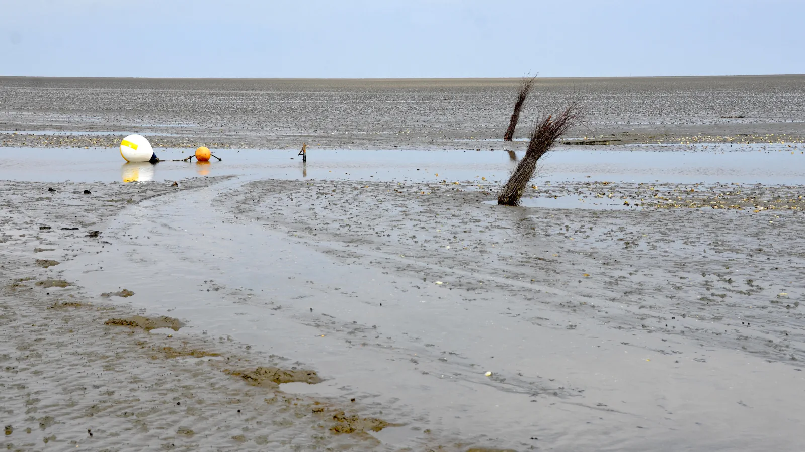
Germany’s North Sea coast is shaped by a tide that arrives from the Atlantic with a range of about three metres. At low water it uncovers the mudflats of the Wadden Sea, which three German national parks protect and which form part of a World Heritage property shared with the Netherlands and Denmark.
At a glance
A place worth remembering
A tide that comes from the Atlantic
Without tides there would be no Wadden Sea; the German national park authorities attribute them to the Moon’s gravity, and Germany’s Federal Maritime and Hydrographic Agency (BSH) adds the Sun. On the German North Sea coast the tidal range is about three metres, which the authorities explain by the Atlantic: the tidal wave enters from the west through the English Channel and between Scotland and Norway. High water therefore reaches Borkum roughly six hours before Brunsbüttel. The Baltic is the contrast, linked to the ocean only through the Skagerrak and Kattegat; on the Baltic coast of Schleswig-Holstein the range is only about 20 cm. The BSH likewise says that North Sea tides arise almost entirely from the sea oscillating in step with the adjoining Atlantic.[1][2]
Three national parks, one tidal landscape
The German Wadden Sea is run as three national parks: Schleswig-Holstein, Hamburg and Lower Saxony, each with its own park authority. In Lower Saxony, seven East Frisian Islands lie three to ten kilometres off the coast. Hamburg’s part includes the island of Neuwerk, close to Cuxhaven, and Schleswig-Holstein’s includes the North Frisian Islands and the Halligen. All three belong to a World Heritage property: UNESCO inscribed the German–Dutch Wadden Sea in 2009, Hamburg’s part followed in 2011 and the Danish part in 2014.[6][5][4][7]
Water that moves the land
Across the whole Wadden Sea the tidal range runs from 1.5 to 4 metres, according to the Common Wadden Sea Secretariat. Wind adds to it: a strong onshore wind can push high tides up to 4 metres above normal, and a strong easterly can pull low water as much as 1.5 metres below normal, leaving sandbanks dry and keeping ferries to some islands in harbour. The coast keeps shifting; the Secretariat names Norderoog as an island that has emerged and Buise as one that has disappeared, both in Germany. On the Halligen off Schleswig-Holstein, small islets, the houses stand on artificial mounds, and in a storm tide only the mounds rise above the water.[3][4]
Good to know
A few clear answers before you explore.
Why is the tidal range so large on Germany’s North Sea coast?
The tidal wave comes from the Atlantic and enters from the west through the English Channel and between Scotland and Norway. The national park authorities give the resulting range as about three metres.[1][2]
Does high water arrive at the same time along the German coast?
No. According to the national park authorities, high water reaches Borkum about six hours earlier than Brunsbüttel.[1]
Which parts of the German coast belong to the Wadden Sea World Heritage property?
The national parks of Lower Saxony, Hamburg and Schleswig-Holstein, which lie on the North Sea. The Baltic coast is not part of it; the tide there is only about 20 cm.[6][1]
The WorldStamped community
Every visit becomes part of a story.
- Members with public visits
- 0
- Places with public visits or memories
- 0
- Public memories
- 0
No public visits have been counted here yet. Add this destination to your own map and choose what you want to share.
Members are counted once. Counts include only eligible public activity from profiles that allow search discovery. Private and followers-only content is excluded.