🇦🇹Country
Austria, seen through a railway, a salt valley and a lake
Austria borders eight countries, including Slovenia. Three of its World Heritage landscapes show how people have worked with the land: a mid-nineteenth-century railway over an Alpine pass, a valley organised around salt, and a steppe lake that Austria shares with Hungary.
At a glance
A place worth remembering
The Semmering Railway turned a pass into a resort
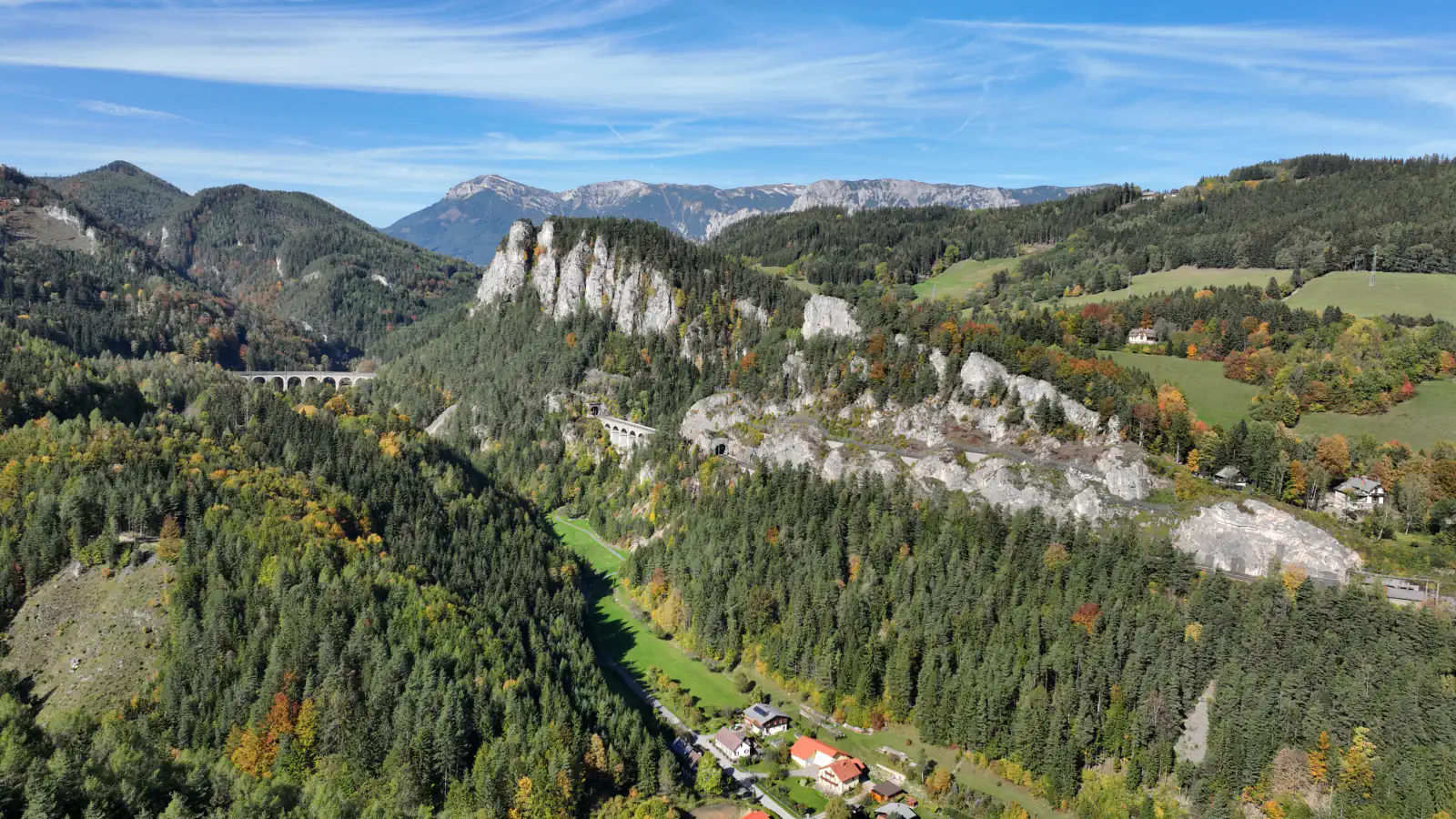
The Semmering Railway was built between 1848 and 1854 over 41 km of high mountains. It starts at Gloggnitz at 436 m, reaches its pass at 895 m after 29 km and descends to Mürzzuschlag at 677 m. UNESCO inscribed it in 1998 for its engineering and for what followed: once the line made the area reachable, Semmering became one of the first purpose-built Alpine resorts, with villas and hotels. Another trait of the route is its 57 two-storey attendants’ houses, set about 700 m apart.[1]
In Hallstatt, salt explains the name and the history
The Hallstatt-Dachstein/Salzkammergut Cultural Landscape was inscribed in 1997. Hallstatt means “salt settlement”, and UNESCO records systematic salt production here as early as the Middle Bronze Age, when natural brine was evaporated in vessels. Underground mining resumed in the 8th century BC, in the society now called the Hallstatt Culture, and was revived in the 14th century. After a fire in 1750 destroyed the timber buildings, the town was rebuilt in late Baroque style.[2]
Lake Neusiedl belongs to two countries
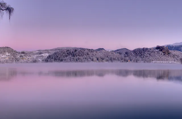
Fertő/Neusiedlersee is a cross-border World Heritage landscape in Burgenland, Austria, and Győr-Moson-Sopron, Hungary, inscribed in 2001. UNESCO describes the lake as the westernmost steppe lake in Eurasia, surrounded by reed beds, saline soils and alkaline lakes that dry out from time to time. An inner ring of sixteen settlements and an outer ring of twenty others surround it, and the free town of Rust prospered from the wine trade. Visiting the Austrian shore therefore means visiting only part of the property.[3]
Good to know
A few clear answers before you explore.
How high does the Semmering Railway climb?
From Gloggnitz at 436 m to a high point of 895 m above sea level, then down to Mürzzuschlag at 677 m, according to UNESCO.[1]
Why is Hallstatt associated with salt?
The name means “salt settlement”. UNESCO records systematic salt production as early as the Middle Bronze Age and a flourishing Iron Age society known as the Hallstatt Culture.[2]
Is Lake Neusiedl entirely in Austria?
No. The Fertő/Neusiedlersee property lies on the Austrian–Hungarian border, in Burgenland and in Győr-Moson-Sopron County.[3]
The WorldStamped community
Every visit becomes part of a story.
- Members with public visits
- 0
- Places with public visits or memories
- 0
- Public memories
- 0
No public visits have been counted here yet. Add this destination to your own map and choose what you want to share.
Members are counted once. Counts include only eligible public activity from profiles that allow search discovery. Private and followers-only content is excluded.