City
Vienna: Ringstrasse along the former city walls
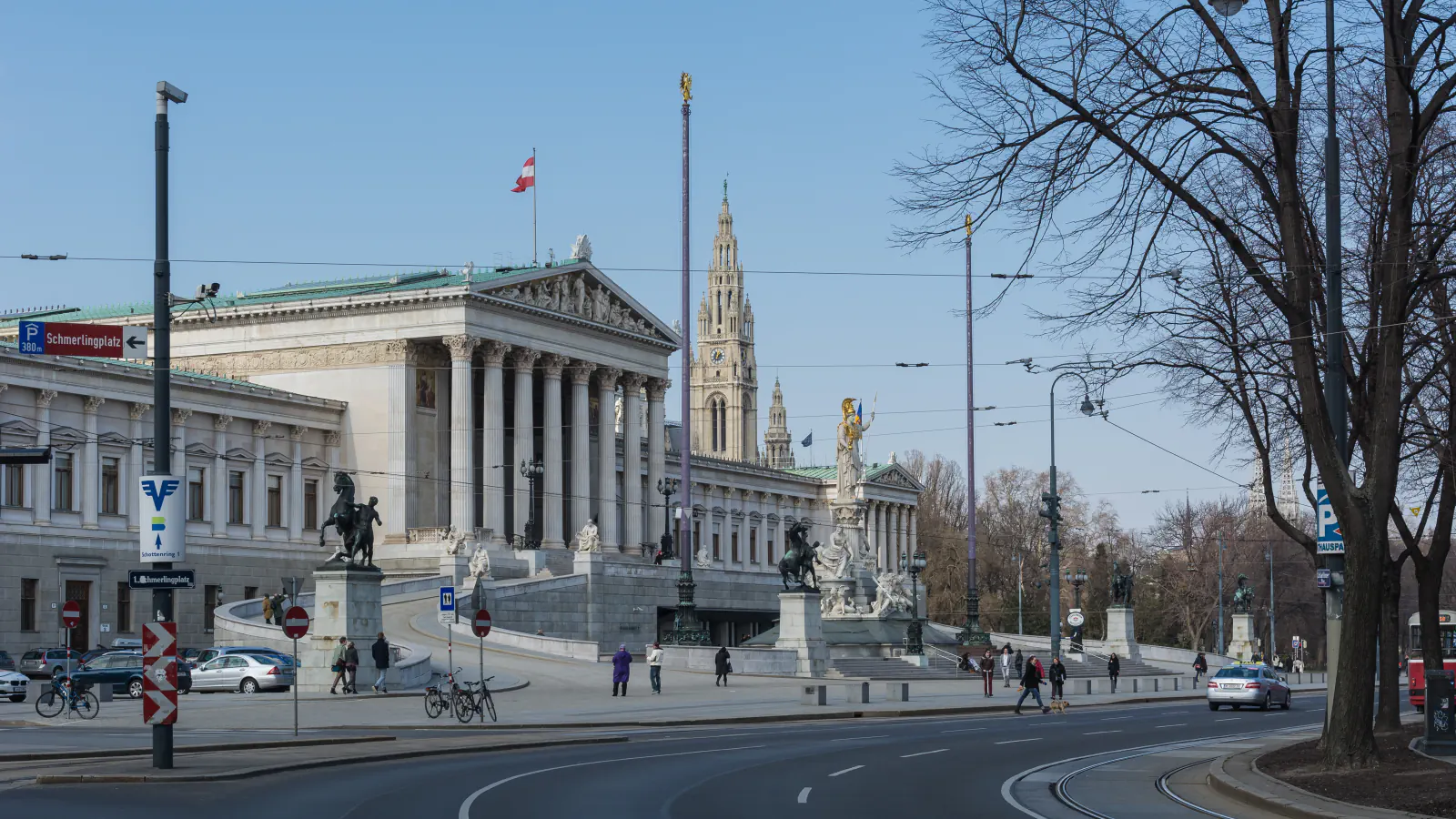
Vienna’s Ringstrasse largely follows the line of the former city walls. The UNESCO-listed historic centre brings its medieval core, Baroque ensembles and 19th-century boulevard into one property, inscribed in 2001.
At a glance
A place worth remembering
From former walls to a city boulevard
A competition shaped the boulevard’s dimensions
An 1858 competition for the Ringstrasse drew 85 designs. The competition notice asked for a boulevard 40 Klafter wide; the final plan provided 30.[2]
Three periods in one 371-hectare property
The World Heritage Centre defines the historic property as 371 ha with a 462 ha buffer. Its account groups Vienna’s architecture around the Middle Ages, Baroque and Gründerzeit. The Schottenkloster was founded around 1155 by Henry II Jasomirgott for Irish Benedictines; St Stephen’s Cathedral dates to the 14th and 15th centuries. Belvedere’s palace and gardens represent the Baroque period, while the Ringstrasse ensemble brings together the Parliament, town hall, university and opera house.[1][4]
Good to know
A few clear answers before you explore.
When did the Ringstrasse replace the former walls?
Demolition began in March 1858 and continued into the early 1870s. The boulevard began opening in stages on 1 May 1865.[2][3]
What width did the Ringstrasse competition call for?
The City of Vienna’s history entry records 85 designs in 1858. The competition notice asked for a boulevard 40 Klafter wide, while the final plan provided 30.[2]
Which periods does the historic-centre listing highlight?
The World Heritage Centre highlights the Middle Ages, Baroque and Gründerzeit, seen in the medieval core, Belvedere and Ringstrasse ensembles.[1]
The WorldStamped community
Every visit becomes part of a story.
- Members with public visits
- 0
- Places with public visits or memories
- 0
- Public memories
- 0
No public visits have been counted here yet. Add this destination to your own map and choose what you want to share.
Members are counted once. Counts include only eligible public activity from profiles that allow search discovery. Private and followers-only content is excluded.