🇫🇷Country
France: the Canal du Midi’s summit level at Naurouze
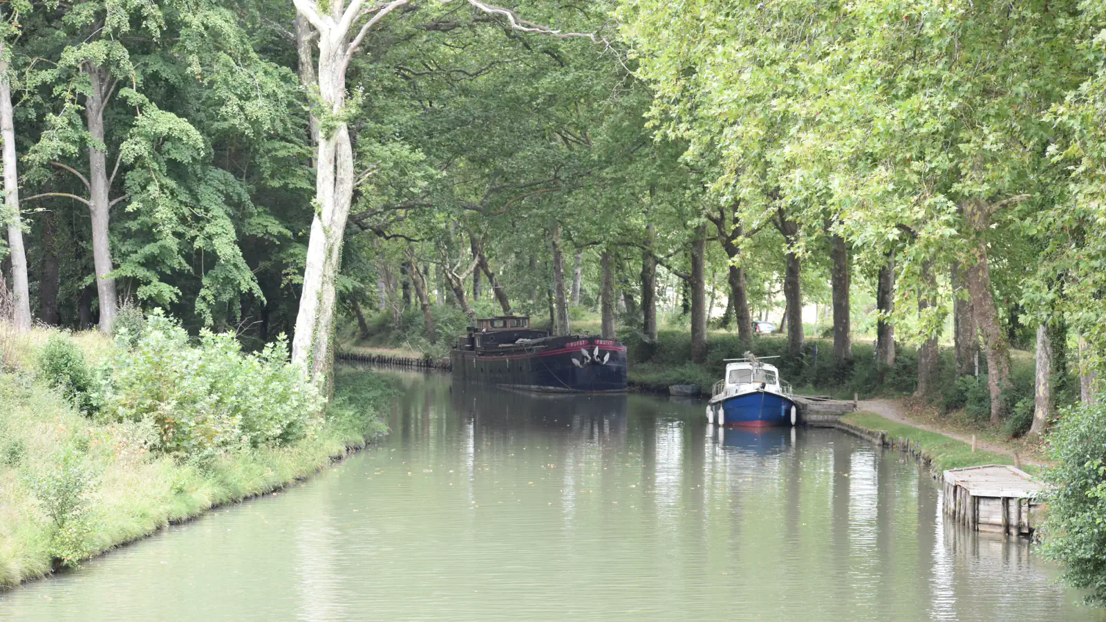
At Naurouze, the Canal du Midi crosses the watershed at 189.43 metres above sea level. Riquet arranged for water to reach this canal level from the Alzeau intake, about 80 km from Naurouze: a mountain channel carries streams across the divide, a lower channel reaches Naurouze, and the Saint-Ferréol reservoir stores water for dry periods.
At a glance
A place worth remembering
The divide at Naurouze
From the Montagne Noire to the summit level
The supply route starts on the Mediterranean slope of the Montagne Noire. Rigole de la Montagne collects streams between 650 and 550 metres and carries them across the divide into the Sor at Le Conquet, on the Atlantic side. Near Sorèze, water from the Sor is diverted into the plain channel. Rigole de la Plaine starts at Pont-Crouzet, also drains the Laudot and descends from 245 to 189 metres over 38.12 km to Naurouze. In October 1665, Riquet’s trial channel carried water from Alzeau to Naurouze.[1][3]
Saint-Ferréol, the reserve for dry summers
Riquet chose a large reservoir on the Laudot at Saint-Ferréol to store water for the canal. The dam was built between 1667 and 1680; Vauban later raised it to increase storage. The structure has been protected as a historic monument since 13 March 1997 and helps maintain the canal supply in dry periods.[1][5][4]
Good to know
A few clear answers before you explore.
Where does the Canal du Midi get its water?
Streams from the Montagne Noire reach the canal’s summit level at Naurouze through the mountain and plain channels. The Saint-Ferréol reservoir on the Laudot supplements supply in dry periods.[1][4]
Where is the Canal du Midi’s summit level?
At the Seuil de Naurouze, where the canal reaches 189.43 metres above sea level.[2]
What does the main line of the canal connect?
Toulouse and the Étang de Thau at Marseillan on the Mediterranean, over 240 km. UNESCO describes the Canal du Midi as the first part of the planned Deux-Mers link between the Mediterranean and the Atlantic; a short Canal Saint-Pierre joins it to the Garonne in Toulouse.[6]
The WorldStamped community
Every visit becomes part of a story.
- Members with public visits
- 0
- Places with public visits or memories
- 0
- Public memories
- 0
No public visits have been counted here yet. Add this destination to your own map and choose what you want to share.
Members are counted once. Counts include only eligible public activity from profiles that allow search discovery. Private and followers-only content is excluded.