🇬🇾Country
Guyana: water, forest and city
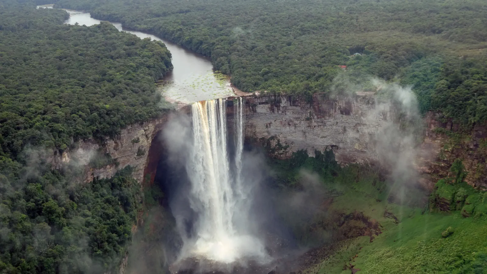
At Kaieteur Falls, mist creates habitat like cloud forest and the waterfall separates upstream fish populations. Iwokrama’s creeks drain into two river systems; Georgetown’s older street plan includes canals described in a 2005 Guyana submission.
At a glance
- Kaieteur — upstream fish
- PAC reports that limited upstream sampling found 28 fish species; four are restricted to the upper Potaro.[1]
- Iwokrama Forest zones
- The June 2023 report lists 371,681 ha overall: 187,175 ha Wilderness Preserve and 184,506 ha Sustainable Utilization Area.[2]
- Georgetown’s canal plan
- The 2005 Guyana submission identifies Cummings Canal and a canal beside Croal Street as surviving parts of the older plan.[3]
A place worth remembering
Kaieteur: spray habitat and upstream fish
The Protected Areas Commission (PAC) describes a cloud-forest-like habitat near Kaieteur Falls shaped by mist. The falls have kept fish populations above them isolated for millennia. PAC reports that limited upstream sampling found 28 fish species; four are restricted to the upper Potaro. The Commission adds that six specimens may represent taxa not yet described.[1]
Iwokrama: two forest zones, different uses
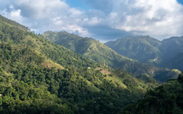
Iwokrama’s creeks drain into the Essequibo and Siparuni river systems, the Centre’s June 2023 summary says. It lists 187,175 ha as Wilderness Preserve, where activity faces strict limits, and 184,506 ha as Sustainable Utilization Area, where several uses are permitted, including sustainable timber harvesting, tourism, research and training. The Centre says the two-zone arrangement followed consultation with Indigenous representatives in 2001; the report gives 371,681 ha for the whole forest.[2]
Georgetown: canals in the city plan
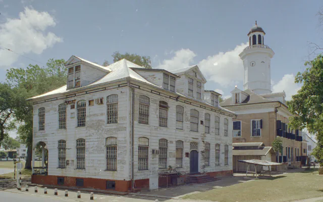
The Guyana Commission for UNESCO’s 2005 submission describes Georgetown’s historic layout as canals set at right angles to the river, together with a connecting street it calls a “damstreet.” It points to the surviving Cummings Canal and a canal beside Croal Street.[3]
Good to know
A few clear answers before you explore.
What did the limited sampling above Kaieteur Falls find?
PAC reports that limited sampling above the falls found 28 fish species, four restricted to the upper Potaro. It also notes six specimens may represent taxa not yet described.[1]
How do Iwokrama’s two zones differ?
The Centre’s June 2023 summary assigns 187,175 ha to the Wilderness Preserve, with strict limits on activity, and 184,506 ha to the Sustainable Utilization Area, which permits multiple uses such as research, tourism and sustainable timber harvesting. It says the zones were established after consultation in 2001.[2]
What canal pattern does the 2005 Guyana submission describe?
The submission describes canals set at right angles to the river plus a linking street called a “damstreet.” It names the Cummings Canal and the Croal Street canal as surviving traces.[3]
The WorldStamped community
Every visit becomes part of a story.
- Members with public visits
- 0
- Places with public visits or memories
- 0
- Public memories
- 0
No public visits have been counted here yet. Add this destination to your own map and choose what you want to share.
Members are counted once. Counts include only eligible public activity from profiles that allow search discovery. Private and followers-only content is excluded.