🇧🇷Country
Brazil: Brasília’s plan, Iguaçu Falls and Pantanal flooding
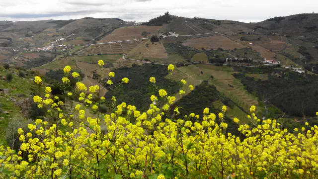
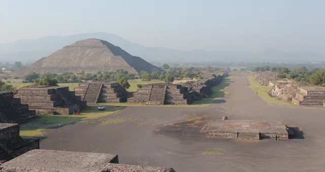
The planned axes of Brasília, Iguaçu’s sweeping waterfalls and the seasonal floodplain of the Pantanal show three distinct Brazilian landscapes. Brasília lies in the Federal District, Iguaçu in Paraná and the Pantanal across Mato Grosso and Mato Grosso do Sul.
At a glance
A place worth remembering
Brasília: two axes and four scales
UNESCO describes the Plano Piloto as a pair of crossing axes: an east–west monumental avenue and a north–south traffic route that bends with the terrain. It names four scales: a monumental one tied to the city’s administrative functions, a residential one of neighbourhood units along the thoroughfare axis (split into the Asa Norte and Asa Sul wings), a social one where the two axes meet, and a bucolic one of open green space running through the others.[1]
Iguaçu Falls: the river’s curve and scale
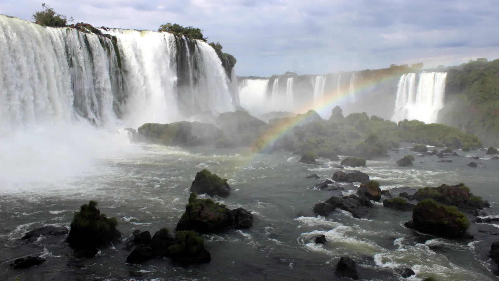
ICMBio’s public-use plan traces the Iguaçu across Paraná from the Serra do Mar to the Paraná River. UNESCO describes the river curving through the paired Iguaçu and Iguazú parks before reaching the Paraná about 25 km downstream of the park. UNESCO gives the width of the cascade system as nearly three kilometres and its highest drops as 80 metres.[2][3]
The Pantanal: a wetland that rises and falls
UNESCO describes the Pantanal Conservation Area as lying in the centre-west of Brazil, at the far south-western edge of Mato Grosso and Mato Grosso do Sul. It sits, UNESCO says, between the Cuiabá and Paraguay river basins, gives the Amolar ridge a maximum altitude of 900 m and calls the transition to the seasonally flooded areas abrupt. In the rainy season, which it dates from October to April, rivers spread over the plain; as the water recedes, small temporary lakes remain.[4]
Good to know
A few clear answers before you explore.
What are the four scales of Brasília’s Plano Piloto?
UNESCO’s statement names a monumental, a residential, a social and a bucolic scale. The social scale sits where the monumental and thoroughfare axes cross, and the bucolic scale is the open green space that runs through the other three.[1]
How far downstream does the Iguaçu reach the Paraná?
UNESCO places the confluence about 25 km downstream of the park, after the river curves through the paired Iguaçu and Iguazú parks.[2]
When does the Pantanal flood?
UNESCO dates the rainy season in its listed Pantanal area to October–April, when rivers flood the wetland. As waters fall, the site’s description says, small temporary lakes remain.[4]
The WorldStamped community
Every visit becomes part of a story.
- Members with public visits
- 0
- Places with public visits or memories
- 0
- Public memories
- 0
No public visits have been counted here yet. Add this destination to your own map and choose what you want to share.
Members are counted once. Counts include only eligible public activity from profiles that allow search discovery. Private and followers-only content is excluded.