🇯🇲Country
Port Royal, Blue Mountain coffee and Cockpit Country in Jamaica
The 1692 earthquake left Port Royal’s remains both on the Palisadoes spit and beneath Kingston Harbour. A 2018 schedule traces the Blue Mountain coffee-growing area through named places. Jamaica’s Forestry Department reported 1,500 vascular plant species in Cockpit Country in 2020, including 101 found only there.
At a glance
A place worth remembering
Port Royal: archaeology on land and underwater
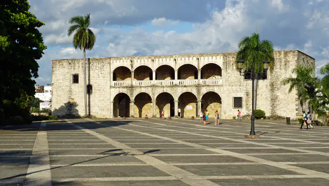
Port Royal lies on the Palisadoes sand spit beside Kingston Harbour. In his 2006 archaeological account, Donny Hamilton estimates that the 1692 earthquake submerged 13 of the town’s roughly 21 hectares, leaving about 8 hectares above water on the spit. UNESCO’s description also identifies archaeological remains on land and underwater.[1][2]
Blue Mountain coffee starts with a place boundary
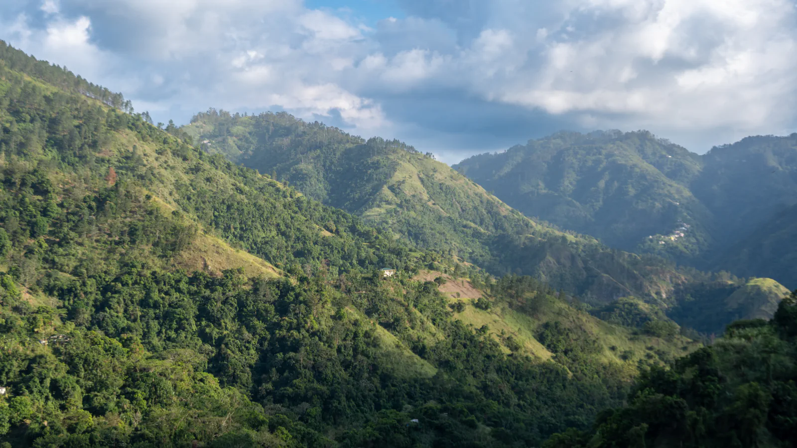
Jamaica’s 2018 regulations define Jamaica Blue Mountain Coffee by its growing area. The First Schedule draws the area through 15 named places; between Belleview and Cedar Grove, the line follows the western flank of John Crow Mountain.[3]
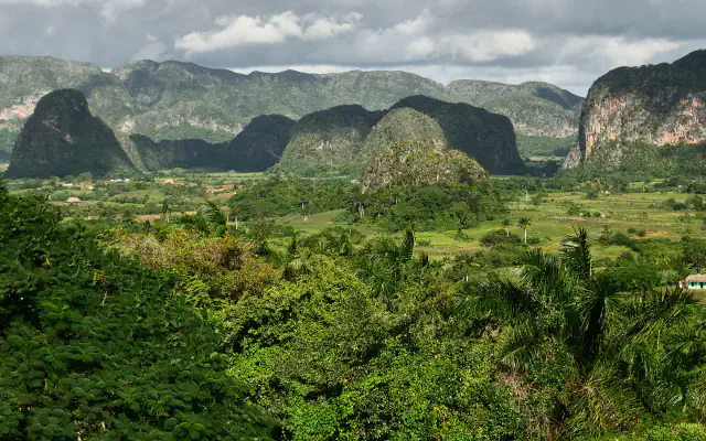
Cockpit Country’s limestone and endemic flora
A 22 May 2020 Forestry Department article describes Cockpit Country as a karst limestone landscape with caves, sinkholes and conical ranges. It reports 1,500 species of vascular plants there and says 101 of them are found only there.[4]
Good to know
A few clear answers before you explore.
How much of Port Royal was submerged in 1692?
Hamilton’s 2006 archaeological account estimates that about 13 of the town’s roughly 21 hectares sank beneath Kingston Harbour. UNESCO’s description identifies archaeological remains both on land and underwater.[1][2]
What does the Blue Mountain boundary follow?
Jamaica’s 2018 regulations define Jamaica Blue Mountain Coffee by its growing area. The First Schedule names 15 places; between Belleview and Cedar Grove, the boundary runs along John Crow Mountain’s western flank.[3]
What does the Forestry Department’s 101 figure describe?
In its May 2020 article, the department places 101 vascular plant species found only in Cockpit Country within a reported total of 1,500 for the area.[4]
The WorldStamped community
Every visit becomes part of a story.
- Members with public visits
- 0
- Places with public visits or memories
- 0
- Public memories
- 0
No public visits have been counted here yet. Add this destination to your own map and choose what you want to share.
Members are counted once. Counts include only eligible public activity from profiles that allow search discovery. Private and followers-only content is excluded.