City
Foraminifera in the atoll’s changing reef setting
A 1996 journal note on Funafuti reports how tests of larger foraminifera contribute to the sediment of Fongafale, the atoll’s main island. It also describes the surrounding islets and lagoon and reports shoreline and reef-flat observations from June 1995 to June 1996.
At a glance
A place worth remembering
A lagoon enclosed by reef-fringed islets
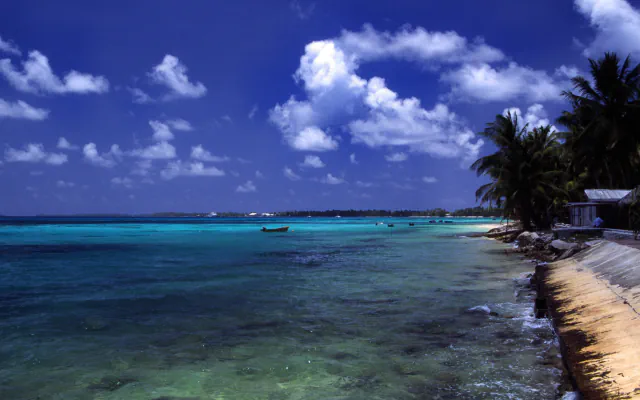
The paper describes Funafuti as some 39 small islets surrounding a lagoon of about 200 square kilometres, with reef flats up to several hundred metres wide on both the ocean and lagoon sides of the islets.[1]
Foraminiferal tests contribute to Fongafale sediment
The 1996 paper says that tests of larger foraminifera, particularly Baculogypsina sphaerulata and Amphistegina lobifera, comprise up to 80% of the sediments forming the main island, Fongafale.[1]
A measured change on the eastern reef flat
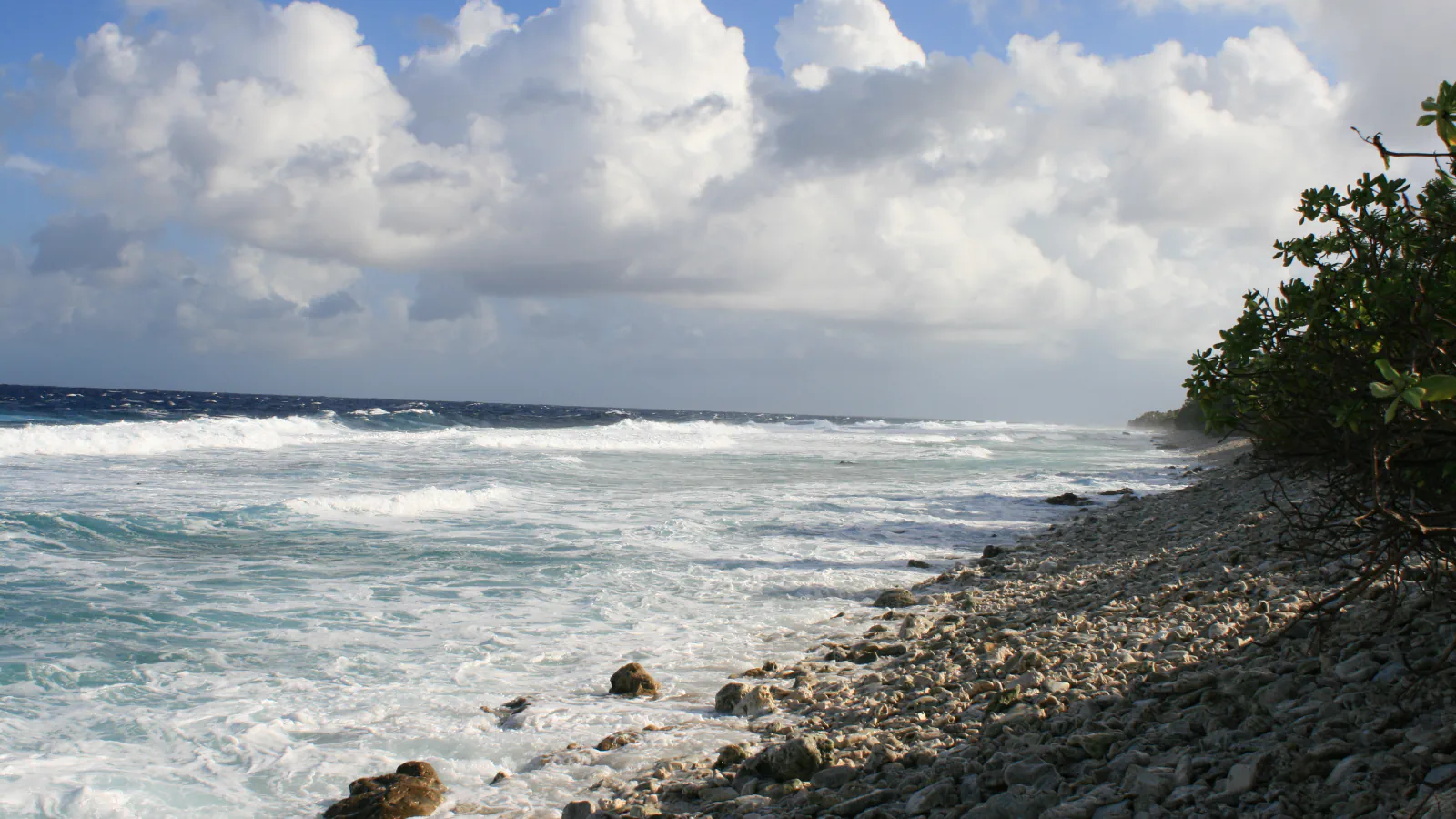
The paper recounts a nearly continuous rampart of coral debris formed along the eastern ocean reef flat in 1972, which waves later moved inshore. It reports that between June 1995 and June 1996 the shoreline moved inland approximately 1 m, with a reef flat 60 to 100 m wide seaward of it.[1]
Good to know
A few clear answers before you explore.
How does the paper describe Funafuti’s physical setting?
It describes some 39 islets around a lagoon of about 200 square kilometres, with reef flats on the ocean and lagoon sides.[1]
How much of Fongafale’s sediment can tests of larger foraminifera make up?
The 1996 paper reports up to 80% for tests of larger foraminifera in the sediments forming Fongafale.[1]
What did the study measure from 1995 to 1996?
It reports that the shoreline moved inland about one metre, with a reef flat 60 to 100 metres wide on the seaward side.[1]
The WorldStamped community
Every visit becomes part of a story.
- Members with public visits
- 0
- Places with public visits or memories
- 0
- Public memories
- 0
No public visits have been counted here yet. Add this destination to your own map and choose what you want to share.
Members are counted once. Counts include only eligible public activity from profiles that allow search discovery. Private and followers-only content is excluded.