🇫🇯Country
Fiji: Levuka’s former villages, Sigatoka’s dated floors and the Astrolabe coral list
UNESCO places two former village sites inland from Levuka’s shore. At Sigatoka, a 2014 Bayesian model estimates a 0–43-year gap between occupation surfaces. A WWF checklist from Kadavu’s two reefs records 126 confirmed coral entries and 22 tentative identifications.
At a glance
A place worth remembering
Levuka: former villages and streets shaped by terrain
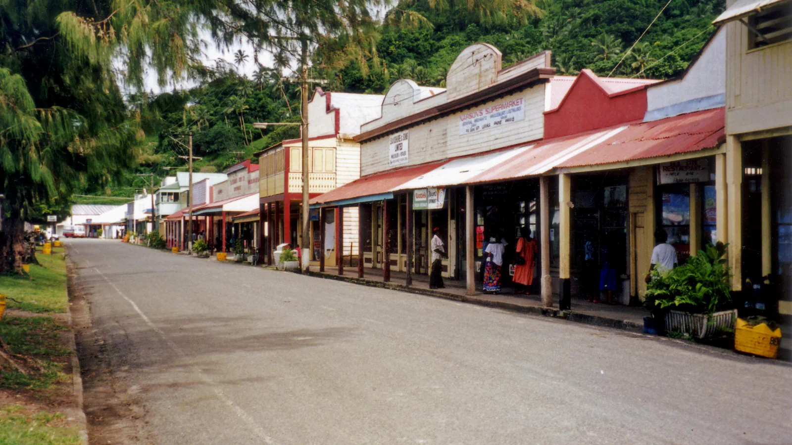
UNESCO’s account places the former village sites of Totoga (Vitoga) and Nasau inland, by one of the waterways descending from Ovalau’s hills toward the coastal plain. UNESCO adds that streets and lanes branch inland from Beach Street in a radial pattern that follows the contours of the land.[1]
Sigatoka: a modelled gap between dated floors
Burley and Edinborough’s 2014 article uses a Bayesian sequence to model radiocarbon evidence from two Sigatoka occupation surfaces, one associated with Fijian Plainware and the other with Navatu. Within the 2σ model interval, the gap may be anywhere from zero to 43 calendar years. This is the separation between the dated surfaces, not a measure of the site’s entire period of occupation.[2]
Astrolabe reefs: a coral checklist from 2001
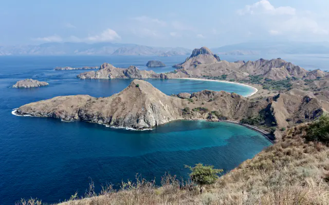
Published in 2003, the WWF South Pacific report covers reef observations collected around Kadavu from 29 April to 3 May 2001. Appendix 4 combines the lists for Great and North Astrolabe: 126 entries are confirmed and 22 are tentative. It is a dated survey tally, not a present-day assessment of reef condition.[3]
Good to know
A few clear answers before you explore.
Where does UNESCO place the former Totoga and Nasau villages?
The UNESCO description places both inland, beside a stream descending from Ovalau’s upland slopes toward the coast.[1]
What does the 0–43-year model range describe?
The range is the modelled interval between two dated use surfaces associated with Fijian Plainware and Navatu; it does not estimate the site's total occupation duration.[2]
What does the 148-entry coral total include?
The 2001 appendix combines Great and North Astrolabe: 126 of its 148 entries are confirmed and 22 are tentative.[3]
The WorldStamped community
Every visit becomes part of a story.
- Members with public visits
- 0
- Places with public visits or memories
- 0
- Public memories
- 0
No public visits have been counted here yet. Add this destination to your own map and choose what you want to share.
Members are counted once. Counts include only eligible public activity from profiles that allow search discovery. Private and followers-only content is excluded.