🇳🇿Country
New Zealand: sacred volcanoes, the Treaty of Waitangi and glacier-cut fiords
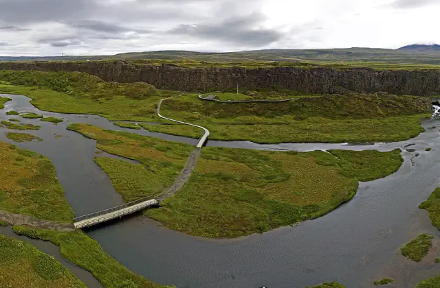
The Tongariro volcanoes in the central North Island, Waitangi in the Bay of Islands in the north of that island, and the fiords of the south-west of the South Island lie in three parts of Aotearoa New Zealand. These three do not stand for the whole country.
At a glance
- Fiordland National Park
- Constituted 1952; more than 1.2 million hectares[9]
A place worth remembering
Tongariro: summits secured by a deed in 1887
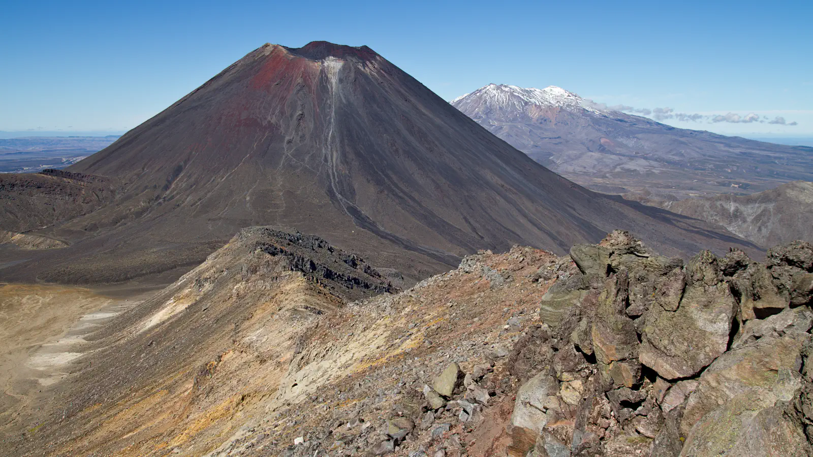
Tongariro National Park lies in the central North Island and is listed by UNESCO for both natural and cultural values; the listed property covers 79,596 ha. NZHistory writes that in 1887 Ngāti Tūwharetoa proposed to ‘gift’ the Crown the mountaintops of Tongariro, Ngāuruhoe and Ruapehu, but that the iwi actually intended to share with the government the responsibility for protecting the sacred maunga. On 23 September 1887 the chief Horonuku Te Heuheu Tūkino IV signed a deed ensuring the summits could never be sold. Those 6,518 acres (2,638 ha) became the nucleus of the national park, which was confirmed in the New Zealand Gazette in 1907, once enough land was in Crown title.[1][2][3]
Waitangi: a treaty in two languages
Waitangi lies in the Bay of Islands, in the north of the North Island. On 6 February 1840 about 40 rangatira, beginning with Hōne Heke, signed the Māori text of the Treaty of Waitangi in front of the house of the British Resident, James Busby. NZHistory’s page on the Waitangi sheet counts 43 signatures but notes that the number is disputed. Copies sent round the country brought about 500 more signatures by September 1840, almost all on the Māori text. NZHistory points out that the Māori and English texts differ in important ways, most notably where ‘sovereignty’ became ‘kawanatanga’ (governance). At the Waitangi Treaty Grounds the former Residency, now called the Treaty House, was pre-cut in Sydney and assembled in 1834, and the carved meeting house Te Whare Rūnanga, opened on 6 February 1940, brings together the carving styles of iwi from across the country.[4][5][6][7][8]
Fiordland: valleys left by two million years of glaciers
Fiordland National Park occupies the south-west of the South Island and lies within the Te Wāhipounamu – South West New Zealand World Heritage area, which UNESCO gives as 2.6 million hectares. The Department of Conservation explains that over the last 2 million years glaciers have at times covered the area, gouging U-shaped valleys, many of which are now lakes or fiords. The fiords run from Milford Sound/Piopiotahi in the north to Preservation Inlet in the south, and some stretch up to 40 km inland. The park was constituted in 1952 and covers more than 1.2 million hectares.[9][10]
Good to know
A few clear answers before you explore.
How did the Tongariro summits come to be protected?
Ngāti Tūwharetoa’s chief Horonuku Te Heuheu Tūkino IV signed a deed with the government on 23 September 1887 that ensured the mountaintops could never be sold. Those 2,638 ha became the nucleus of the national park, confirmed in the New Zealand Gazette in 1907.[3]
What was signed at Waitangi in 1840?
The Treaty of Waitangi, an agreement in Māori and English between the British Crown and about 540 Māori rangatira. The first signatures were written on 6 February 1840 at Waitangi; about 500 more were added on copies sent around the country by September.[5][4]
How were Fiordland’s fiords formed?
The Department of Conservation says glaciers have at times covered the area over the last 2 million years, gouging U-shaped valleys that are now lakes or fiords. UNESCO describes the landscape as shaped by successive glaciations into fiords, rocky coasts, cliffs, lakes and waterfalls.[9][10]
The WorldStamped community
Every visit becomes part of a story.
- Members with public visits
- 0
- Places with public visits or memories
- 0
- Public memories
- 0
No public visits have been counted here yet. Add this destination to your own map and choose what you want to share.
Members are counted once. Counts include only eligible public activity from profiles that allow search discovery. Private and followers-only content is excluded.