🇮🇸Country
Iceland: Þingvellir’s assembly valley, southern waterfalls and volcanoes beneath ice
At Þingvellir, the Alþing met for centuries in a rift where the North American and Eurasian plates pull apart. South Iceland spans waterfalls, black-sand shores and glacial landscapes; eight of the ten central volcanoes within the Vatnajökull property sit beneath glaciers.
At a glance
A place worth remembering
Þingvellir: an assembly in a rift valley
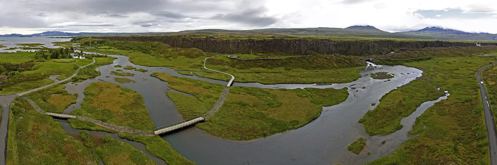
Þingvellir is both an assembly site and an active rift landscape. The Alþing met here from 930 to 1798, and the assembly ground retains fragments of roughly 50 turf-and-stone booths. UNESCO says traces dating to the 10th century may still be buried below ground. The valley is an active rift where the North American and Eurasian plates move apart; UNESCO estimates its floor sits about 3–4 metres lower than when the assembly began. The 2004 inscription recognises the assembly’s history and its surrounding landscape.[1][2]
The South Coast: water takes different forms
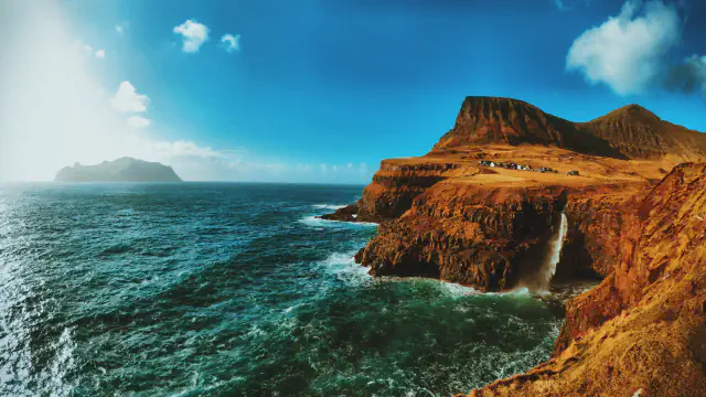
Named places on southern Iceland’s regional list include Seljalandsfoss and Skógafoss, Dyrhólaey, Reynisfjara, Skaftafell, Jökulsárlón and Diamond Beach. They mark different stops across a long coast of waterfalls, black-sand shores and glacial landscapes.[3]
Vatnajökull: ice above a volcanic system
UNESCO counts ten central volcanoes at Vatnajökull, with eight beneath glaciers. Eruptions and geothermal heat can melt ice and trigger jökulhlaups—sudden floods that help maintain sandur plains and rapidly evolving canyons. The property joined the World Heritage List in 2019.[4]
Good to know
A few clear answers before you explore.
Why is Þingvellir a cultural World Heritage site?
It preserves the setting of the Alþing, established in 930 and held there until 1798, together with the surrounding historic landscape.[1]
What is a jökulhlaup?
UNESCO describes it as a sudden flood when a glacier’s margin is breached during an eruption. At Vatnajökull, such floods and geothermal heat help maintain sandur plains and fast-changing canyons.[4]
Which tectonic plates are moving apart at Þingvellir?
Þingvellir National Park says the North American and Eurasian plates move in opposite directions across Iceland, and that the land between faults at Þingvellir is subsiding.[2]
The WorldStamped community
Every visit becomes part of a story.
- Members with public visits
- 0
- Places with public visits or memories
- 0
- Public memories
- 0
No public visits have been counted here yet. Add this destination to your own map and choose what you want to share.
Members are counted once. Counts include only eligible public activity from profiles that allow search discovery. Private and followers-only content is excluded.