🇬🇹Country
Rainwater at Tikal, Antigua’s ruins and Lake Atitlán
Tikal relied on rainwater storage where groundwater lay beyond the technology then available. In Antigua’s Panchoy Valley, UNESCO describes a Renaissance-inspired street grid; principal monuments remain as ruins after the 1773 Santa Marta earthquakes. NASA dates explosive eruptions that formed Lake Atitlán’s caldera to 158,000–40,000 years ago.
At a glance
A place worth remembering
Tikal: storing seasonal rain
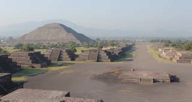
UNESCO lists Tikal National Park at 57,600 ha in Petén, within the Maya Forest and Maya Biosphere Reserve. The ancient city lacked permanent lakes and rivers; Lentz and colleagues’ 2020 study estimates the water table at about 200 m below the surface, too deep for the technology then available. Residents depended on rainwater storage. The study reports that slopes across Tikal’s paved central plazas sent rainy-season runoff to two designated reservoirs, Temple and Palace; it names the Great Plaza as one example. UNESCO’s roughly 1,200-ha wider archaeological zone includes residential areas and historic reservoirs called aguadas. Stela 11, Tikal’s final carved monument, is dated to 869.[1][2]
Antigua: its street grid and earthquake ruins
UNESCO says the third Santiago de Guatemala site, in the Valley of Panchoy, was inaugurated in March 1543. After the 1773 Santa Marta earthquakes, principal monuments remained as ruins; UNESCO describes the Renaissance-inspired street plan, decorative stucco and low bell towers.[3]
Lake Atitlán: a closed basin among volcanoes
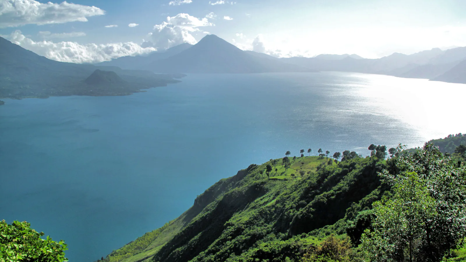
Lake Atitlán lies in the Sololá highlands. NASA’s Earth Observatory places at least three explosive eruptions within the 158,000–40,000-year interval; together they reshaped the region and formed the water-filled caldera. The most recent known eruption of Volcán Atitlán was in 1853. Older lava from Volcán Tolimán helped form the lake’s irregular southern shore. The lake authority AMSCLAE gives the basin’s total area as 546.03 km², including about 125.77 km² of lake surface, and its maximum depth as 327.56 m. It describes the basin as endorheic (closed), leaving the lake vulnerable to changes across its catchment.[4][5]
Good to know
A few clear answers before you explore.
Where did Tikal’s inhabitants get their water?
The 2020 study describes reservoirs around the city that were replenished by wet-season rain and supplied water in the dry months. It reports that sloped public plazas channelled runoff to the Temple and Palace reservoirs. UNESCO calls the historic water stores in Tikal’s wider archaeological zone aguadas.[1][2]
What features does UNESCO describe in Antigua Guatemala?
UNESCO describes a Renaissance-inspired street plan with decorative stucco and low bell towers, and notes that principal monuments are preserved as ruins after the 1773 Santa Marta earthquakes.[3]
What does a closed basin mean for Lake Atitlán?
AMSCLAE explains that the lake is vulnerable to changes across its catchment because the basin is endorheic, or closed. It lists a catchment of 420.25 km² beside about 125.77 km² of lake surface.[5]
The WorldStamped community
Every visit becomes part of a story.
- Members with public visits
- 0
- Places with public visits or memories
- 0
- Public memories
- 0
No public visits have been counted here yet. Add this destination to your own map and choose what you want to share.
Members are counted once. Counts include only eligible public activity from profiles that allow search discovery. Private and followers-only content is excluded.