🇨🇴Country
Cartagena’s bay, the Coffee Cultural Landscape and Chingaza’s water route
Colombia’s landscapes shape both buildings and water routes: Cartagena’s fortifications draw on a sheltered bay, bahareque walls still stand in coffee-region towns, and the Chingaza lake system flows into the Chuza reservoir.
At a glance
A place worth remembering
Cartagena: how a bay shaped its defences
Cartagena lies beside a sheltered Caribbean bay whose natural channels and passes shaped its fortification system. UNESCO dates the Spanish works to 1586 and notes their later expansion in the 18th century. The historic centre inside the walls includes three neighbourhoods and civic, religious, and residential monuments.[1]
Coffee country: small plots and bahareque
UNESCO identifies six agricultural areas and 18 urban settlements in Colombia’s Coffee Cultural Landscape. It describes coffee cultivation on small plots in mountain terrain and identifies bahareque, a flexible wall system with a bamboo covering, as a regional building tradition. Cenicafé, Colombia’s coffee research centre, was founded by the Federación Nacional de Cafeteros in 1938 and is based in Chinchiná, Caldas.[2][3]
Chingaza: from páramo lakes to Bogotá’s water supply
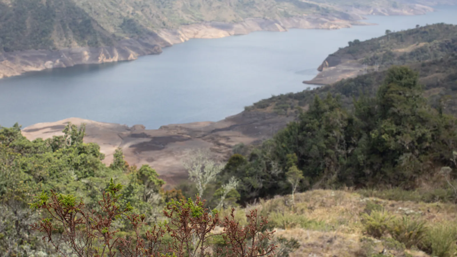
Chingaza National Natural Park lies in Cundinamarca and Meta. The 2007 Ramsar information sheet says waters from its lake system flow into the Chuza reservoir. Bogotá’s district government describes the wider Chingaza system as comprising the Chuza and San Rafael reservoirs; in a June 2024 article, it said the system supplied 70% of drinking-water demand for Bogotá and nearby municipalities.[4][5][6]
Good to know
A few clear answers before you explore.
Which neighbourhoods are inside Cartagena’s walls?
UNESCO names Centro, San Diego, and Getsemaní as the historic centre’s three neighbourhoods.[1]
What is bahareque?
UNESCO describes bahareque as a flexible traditional wall system with a bamboo covering that remains part of the region’s building tradition.[2]
How does water from Chingaza reach Bogotá?
Ramsar traces the lake-system waters to Chuza. A June 2024 Bogotá article says the wider system, with Chuza and San Rafael, supplied 70% of drinking-water demand for Bogotá and nearby municipalities.[5][6]
The WorldStamped community
Every visit becomes part of a story.
- Members with public visits
- 0
- Places with public visits or memories
- 0
- Public memories
- 0
No public visits have been counted here yet. Add this destination to your own map and choose what you want to share.
Members are counted once. Counts include only eligible public activity from profiles that allow search discovery. Private and followers-only content is excluded.