🇪🇨Country
Ecuador: giant tortoises, Cotopaxi and Yasuní tree diversity
A captive-breeding programme for Galápagos giant tortoises began in 1965 with eggs from Pinzón; the Cotopaxi profile lists the signals the institute monitors, while a Yasuní census found terrain made a minor contribution to local tree diversity.
At a glance
A place worth remembering
Galápagos: giant-tortoise breeding began in 1965
The first young tortoises from the captive programme hatched by the end of 1970. The Foundation dates the effort to 1965 and connects its start to Pinzón, where introduced rats had prevented the tortoises from breeding successfully. The Charles Darwin Research Station in Puerto Ayora had opened a year earlier.[1]
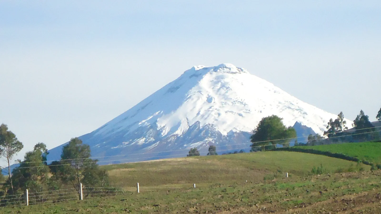
Cotopaxi: what the monitoring profile records
The Instituto Geofísico at the Escuela Politécnica Nacional lists Cotopaxi at 5,897 m and labels it active. Its profile names seismicity, deformation, thermal waters and gas emissions among the signals it monitors. The page lists an eruptive period from October 2022 through July 2023 and shows a last-update date of 23 February 2026.[2]
Yasuní: how much tree diversity does terrain explain?
The 2004 study distinguishes a professional survey of 50 ha in 1995 from a longer census limited to the western 25 ha. Researchers mapped woody plants at least 10 mm in diameter there from June 1995 to June 2000. They found that ridge-and-valley niches contributed to tree diversity, but the authors judged their overall contribution to be minor.[3]
Good to know
A few clear answers before you explore.
What challenged tortoise reproduction on Pinzón?
The Foundation’s history says introduced rats had prevented successful breeding on the island. It dates the captive-breeding programme to 1965 and records the first hatchlings by the end of 1970.[1]
What does the Instituto Geofísico monitor at Cotopaxi?
Its profile lists seismicity, deformation, thermal waters and gas emissions among the monitored signals. The same page dates an eruptive period from October 2022 to July 2023 and shows a last-update date of 23 February 2026.[2]
How large is the Yasuní Biosphere Reserve, and where does UNESCO place it?
UNESCO’s project page, last updated on 4 June 2024, places Yasuní in the northeastern Ecuadorian Amazon and gives its area as roughly 2.7 million hectares. Coca, Napo and Aguarico mark its northern edge; the Curaray lies to the south. UNESCO’s MAB record lists 1989 as the nomination year.[4][5]
The WorldStamped community
Every visit becomes part of a story.
- Members with public visits
- 0
- Places with public visits or memories
- 0
- Public memories
- 0
No public visits have been counted here yet. Add this destination to your own map and choose what you want to share.
Members are counted once. Counts include only eligible public activity from profiles that allow search discovery. Private and followers-only content is excluded.