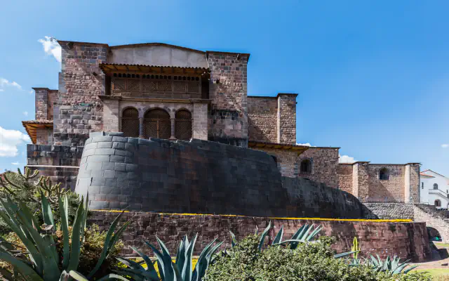
🇵🇪Country
Peru’s coast in three places: Caral, Nasca and Chan Chan
Water, or the lack of it, runs through three UNESCO World Heritage sites on Peru’s coast. Caral stands on a dry terrace above the green Supe valley, the Nasca lines survive on a very arid plain, and the region around Chan Chan was watered by an irrigation system. Together they show how differently coastal societies worked with the same constraint.
At a glance
A place worth remembering
Caral: radiocarbon dates reach back to 3000 BC
Caral stands on a dry desert terrace above the Supe river, overlooking the green valley. Radiocarbon work by the archaeological project places its development between 3000 and 1800 BC; the World Heritage inscription followed in 2009. The urban centre is shaped by six monumental pyramidal buildings, monumental stone and earthen platforms, together with round courts sunk into the ground. Archaeologists also found a quipu, a knotted-cord device used to record information. UNESCO links the site’s preservation to abandonment, late discovery and the absence of gold or silver sought by looters.[1]
Nasca: figures and lines on an arid plain
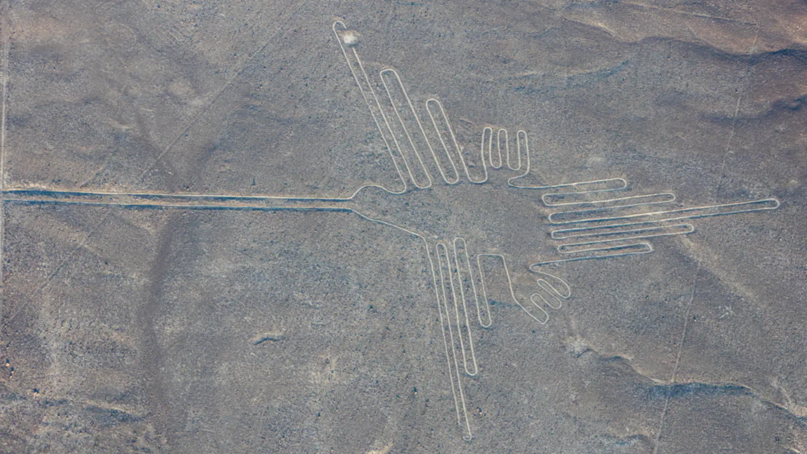
On the coastal desert about 400 km south of Lima, ground drawings and lines spread across the Nasca and Jumana pampas. UNESCO dates their creation between 500 BC and AD 500 and inscribed the property in 1994. The designs include animals, birds, insects and plants as well as long straight lines; some stretch for kilometres, intersect or form spirals, triangles and rectangles. Their makers scratched the surface to expose lighter ground below. The region’s exceptional dryness and scant rain help explain why many figures remain visible.[2]
Chan Chan: earthen walls and irrigation canals
UNESCO describes Chan Chan as a monumental centre of walled citadels or palaces. An irrigation system once drew water from the Moche and Chicama rivers, supplied by a canal of about 80 km, and sustained the region around the city. The property record names El Niño-related climatic extremes among the factors that leave the earthen remains prone to decay, and says ongoing maintenance with earthen materials has eased the damage.[3]
Good to know
A few clear answers before you explore.
How old is Caral?
UNESCO cites radiocarbon research that places the settlement’s development between 3000 and 1800 BC. The site was added to the World Heritage List in 2009.[1]
How do the Nasca figures differ from the lines?
The drawings include animals, birds, insects, plants and imaginary beings. Lines are usually straight; some cross the pampas for several kilometres in varied directions.[2]
Why does Chan Chan need ongoing conservation?
Its earthen construction is vulnerable to decay, and UNESCO identifies El Niño-related extremes as one risk. The property record says ongoing maintenance with earthen materials has lessened the physical impact.[3]
The WorldStamped community
Every visit becomes part of a story.
- Members with public visits
- 0
- Places with public visits or memories
- 0
- Public memories
- 0
No public visits have been counted here yet. Add this destination to your own map and choose what you want to share.
Members are counted once. Counts include only eligible public activity from profiles that allow search discovery. Private and followers-only content is excluded.