🇬🇬Country
Guernsey: prehistoric mounds, Lihou’s shore and Sark’s night sky
Les Fouaillages and Le Déhus preserve separate prehistoric burial stories; a western Ramsar shore includes Lihou, while Sark’s dark-sky application records measurements taken in 2010.
At a glance
A place worth remembering
Les Fouaillages and Le Déhus: two burial monuments in Vale
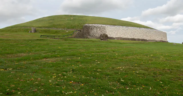
At Les Fouaillages, furze (gorse) died back after an unusually dry summer, bringing the mound to notice in 1977. Guernsey Museums explains the name as “furze break” in Guernsey French. Excavations for the then States of Guernsey Ancient Monuments Committee ran from 1979 to 1981 and uncovered more than 35,000 finds. The museum places eight flint arrowheads of the barbed-and-tanged type on the surface around 2000 BC, before a later turf mound covered the monument. Le Déhus is a passage grave roughly 10 m long. Its second capstone bears a carving found in 1916: a bearded face with arms and hands, with a motif that may show a strung bow with arrows among other symbols. The museum sign considers it almost certain that the stone once stood upright before it was fitted into the grave’s roof.[1][2][3]
L’Erée and Lihou: a shore recognised as a Ramsar wetland
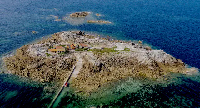
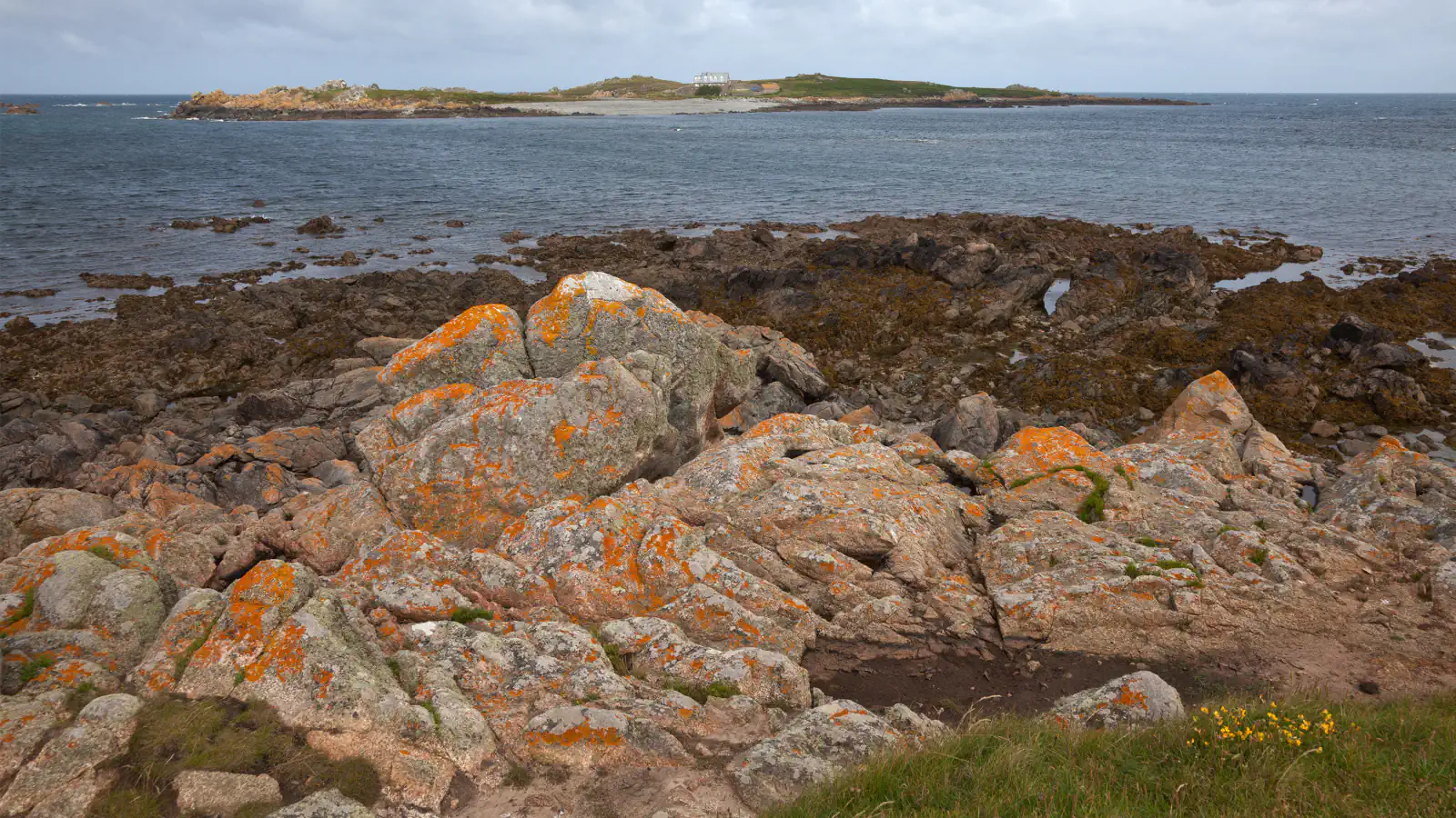
The 427 ha Ramsar area was designated on 1 March 2006. It follows a stretch of Guernsey’s western shore, taking in Les Anguillieres shingle bank, the western extremity of L’Erée Headland, Lihou and nearby waters. Ramsar lists rocky, gravelly and sandy shores, saltmarsh, reedbeds, a saline lagoon, vegetated shingle and seagrass; its site summary records 214 seaweed species around Lihou. Guernsey Museums describes the island’s ruined Benedictine priory, which dates its founding to the 12th century. The museum says the church was richly ornamented, with limestone carving, painted glass in the windows and yellow and green glazed floor tiles; burials in the church and cemetery are dated to about 1250. Guernsey Museums gives access to the island as a tidal causeway, usable only at very low tide.[4][5]
Sark: a night sky measured for dark-sky status
DarkSky International lists Sark as a Dark Sky Community designated in 2011, gives a land area of 5.4 km², and notes that the island has no public lighting or motor vehicles other than farm tractors. Astronomer Steve Owens’s 2010 Sark dark-sky submission was prepared for the Chief Pleas Agriculture Committee, whose remit included environmental responsibilities. It describes an April survey with a Sky Quality Meter. The application reports readings across Sark of about 21.3–21.5 magnitudes per square arcsecond, while omitting one set from 11 April 2010 taken amid light mist; it relates the reported readings to a limiting magnitude near 6.5 and Bortle Class 3.[6][7]
Good to know
A few clear answers before you explore.
What did excavations at Les Fouaillages uncover?
The museum says the mound came to notice in 1977 after a dry summer and records more than 35,000 finds from work between 1979 and 1981. It also notes eight flint arrowheads placed there around 2000 BC.[1]
What stands on Lihou?
The island holds the ruined Benedictine priory that Guernsey Museums dates to the 12th century.[5]
How was Sark’s night sky measured?
The application credits astronomer Steve Owens as author and identifies Sark’s Chief Pleas Agriculture Committee as the body it represents. In April 2010, a Sky Quality Meter recorded about 21.3–21.5 magnitudes per square arcsecond; the application excludes a set taken on 11 April in slight mist. It relates the reported readings to a limiting magnitude near 6.5 and Bortle Class 3. DarkSky International records the 2011 designation.[7][6]
The WorldStamped community
Every visit becomes part of a story.
- Members with public visits
- 0
- Places with public visits or memories
- 0
- Public memories
- 0
No public visits have been counted here yet. Add this destination to your own map and choose what you want to share.
Members are counted once. Counts include only eligible public activity from profiles that allow search discovery. Private and followers-only content is excluded.