🇯🇪Country
Jersey: tidal reefs, an Ice Age ravine and a Neolithic mound
Jersey’s offshore reefs change as the tide turns, while its inland sites preserve a different record: Ice Age sediments at La Cotte and a Neolithic tomb at La Hougue Bie, where sunlight can reach the far end around the equinoxes.
At a glance
A place worth remembering
Two reef systems, read with the tide
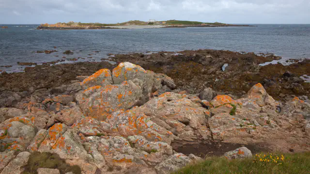
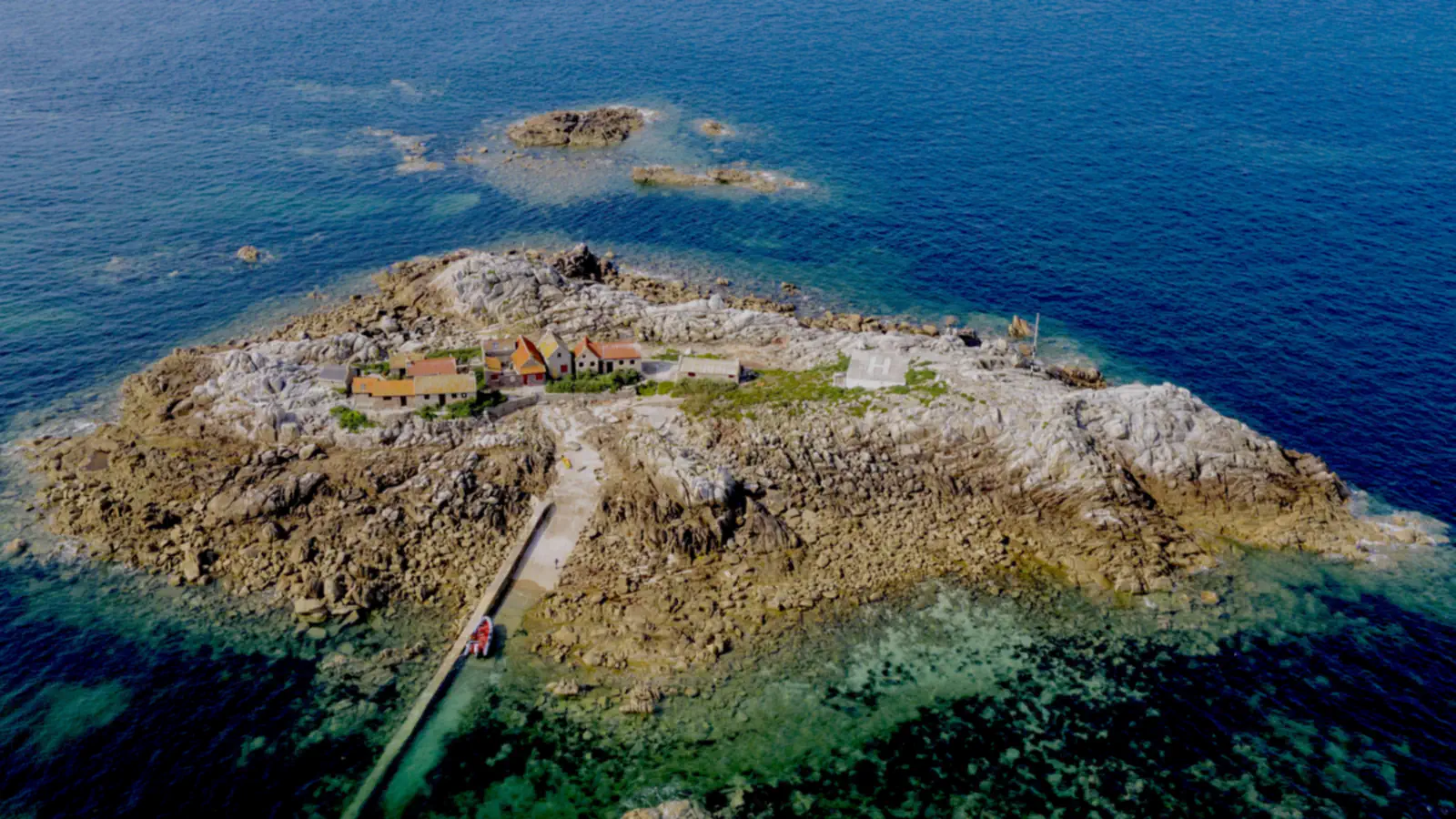
Both Ramsar information sheets, completed in March 2005, describe shoals that change with the tide. Les Écréhous & Les Dirouilles is a pair of reefs forming a shoal that measures 11 km by 3.7 km. Its sheet says that when the tide is high just rocky heads and the islet it calls Le Maitre Isle stay above water, and that four of those heads are big enough to carry buildings. Les Minquiers is a separate shoal of about 16 km by 11 km; its sheet lists only rocky heads and the small supralittoral zone of La Maitresse Isle above the water at high tide, with some small stone dwellings on it. Both sheets say the tide can rise and fall by more than 12 m, and that at low water shingle banks, sandy shores, boulder fields and reefs emerge. Both sites were designated Ramsar sites on 2 February 2005.[1][2][3][4]
La Cotte: a 40 m sediment record
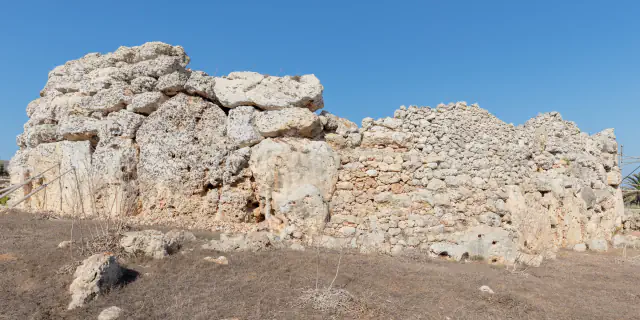
At Ouaisné, La Cotte is a ravine cut through a granite headland. Jersey Heritage describes deposits that accumulated there over about 250,000 years and now reach 40 m in thickness, preserving archaeological evidence alongside records of Ice Age environmental change. Excavations produced more than 200,000 stone tools; Cambridge archaeologists in the 1960s and 1970s also found the mammoth remains attributed to nine animals, as well as a woolly rhinoceros. In 2011, stabilisation work in the West Ravine included analysis of a threatened section. The abstract of a 2013 paper reports that two concordant OSL dating programmes show the section to be part of a sequence spanning more than 105,000 to less than 48,000 years ago.[5][6]
La Hougue Bie: a passage aligned with the equinoxes
Jersey Heritage dates the monument to 4000–3500 BCE and says the structure is oriented to the sunrise on the days of the spring and autumn equinoxes, so that in clear weather light reaches the far end of the passage. The circular earth mound is 12.2 m high and 58 m wide. The Société Jersiaise excavated the site in September 1924 and found a passage grave beneath the mound; Jersey Heritage gives its length as 18 m, with three smaller side chambers.[7]
Good to know
A few clear answers before you explore.
What remains above water at Les Minquiers during high tide?
According to the 2005 Ramsar sheet, high water leaves just rocky heads and La Maîtresse Île, a small supralittoral area with a few small stone dwellings, above the surface. When the tide drops, shingle banks, sandy shores, boulder fields and reefs appear.[1]
How was the West Ravine sediment sequence dated?
The abstract of the 2013 article reports two concordant OSL dating programmes, which show that a West Ravine section formed part of a sequence spanning more than 105,000 to less than 48,000 years ago.[6]
When can sunlight enter La Hougue Bie’s passage?
Jersey Heritage says the structure is oriented to the sunrise on the days of the spring and autumn equinoxes and that, in clear weather, the light reaches the far end of the passage.[7]
The WorldStamped community
Every visit becomes part of a story.
- Members with public visits
- 0
- Places with public visits or memories
- 0
- Public memories
- 0
No public visits have been counted here yet. Add this destination to your own map and choose what you want to share.
Members are counted once. Counts include only eligible public activity from profiles that allow search discovery. Private and followers-only content is excluded.