The destination journal
Places to discover. A world to remember.
Explore countries, territories and cities through their landscapes, local stories and carefully sourced facts. Then make them part of your own WorldStamped map.
Create your mapExplore the collection
Countries, territories and cities, with cited sources and credited photographs or clearly labelled illustrations.
Showing destinations 326–350 of 409
 City
Seoul
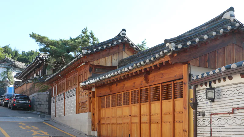
Search Seoul craft objects by colour, hear how familiar sounds connect to music at the Gugak Museum, and learn how shell inlay decorates a surface.
Explore SeoulPhotograph: Bgag · Photo source · CC0 1.0
 Country
Serbia
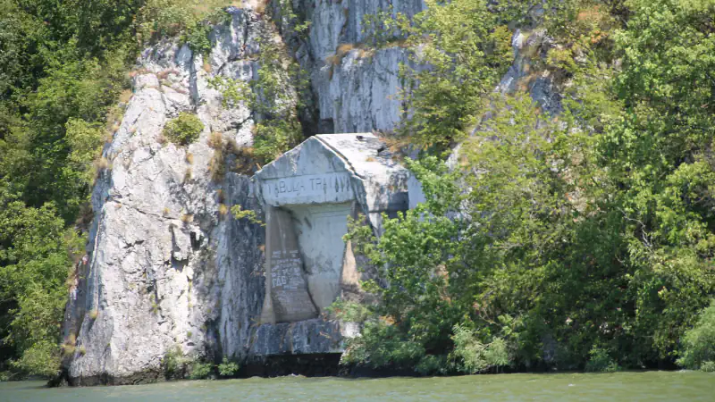
A 1969 report describes moving Trajan’s Tablet with a road section; the monastery reads year 6717 as 1209, and Tara’s profile notes spruce on acidic peat.
Explore SerbiaPhotograph: Ванилица · Photo source · CC BY-SA 4.0
 Country
Seychelles
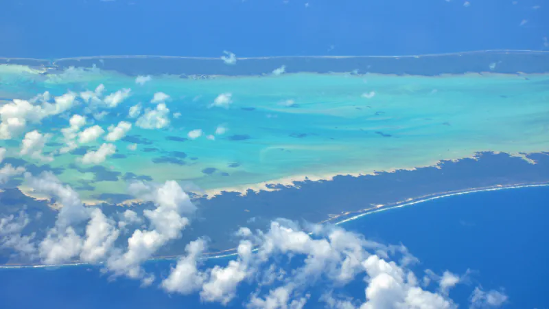
Aldabra tortoise estimates, SIF’s coco de mer monitoring at Vallée de Mai, and a 2019 report on a copra mill and kiln on La Digue.
Explore SeychellesPhotograph: Simisa · Photo source · CC BY-SA 3.0
 Country
Sierra Leone
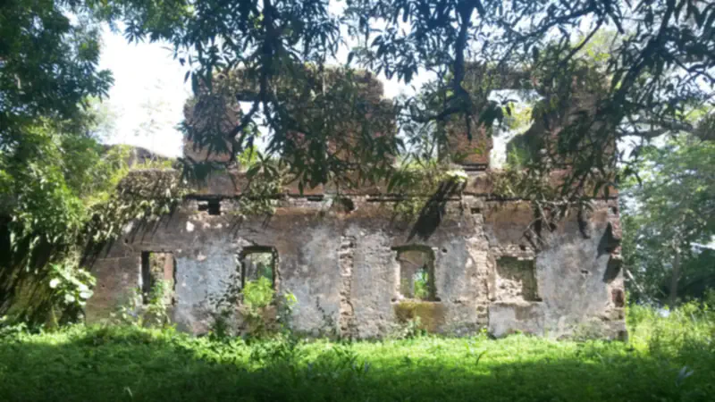
Bunce Island’s shell-mortar floor, Gola surveys of Picathartes gymnocephalus nests and Jaeger’s Loma Mountains plant inventory.
Explore Sierra LeonePhotograph: Pierre Chrzanowski · Photo source · CC0 1.0
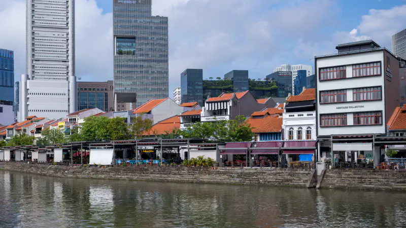 Country
Singapore
Earth from a Battery Road hill formed Boat Quay’s south bank in 1823; 11 Kew Para seedlings were planted in 1877; Ubin quarries reached about 40 m below sea level.
Explore SingaporePhotograph: Frank Schulenburg · Photo source · CC BY-SA 4.0
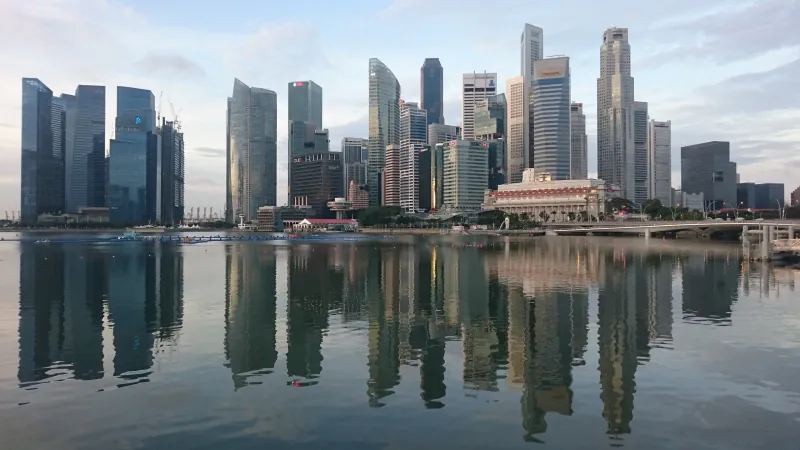 City
Singapore
The museum halted treatment of a 2.6-metre Omura’s whale skull after six cycles as it grew fragile; public display was still a future plan.
Explore SingaporePhotograph: Mokkie · Photo source · CC BY-SA 4.0
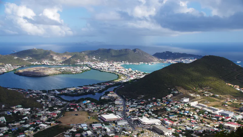 Country
Sint Maarten
A mangrove wetland listed under the Ramsar Convention, saltpans on the Great Salt Pond and a frigate wreck from 1801: three places in Sint Maarten.
Explore Sint MaartenPhotograph: Balou46 · Photo source · CC BY-SA 4.0
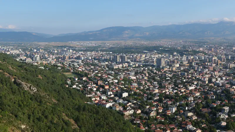 City
Skopje
Daut Pasha Hamam was adapted as an art gallery in 1948; the National Gallery’s 1951 account includes models of medieval churches.
Explore SkopjePhotograph: kallerna · Photo source · CC BY-SA 4.0
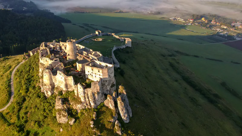 Country
Slovakia
A 2007–08 study revised dates for structures at Spiš Castle. Tajchy linked reservoirs with mining; Domica has Neolithic finds and Dobšinská holds cave ice.
Explore SlovakiaPhotograph: Lukkon · Photo source · CC BY-SA 4.0
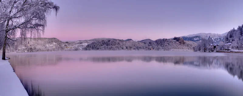 Country
Slovenia
Bled’s island church and pletna, the underground Reka canyon at Škocjan, and Piran’s living salt-making tradition.
Explore SloveniaPhotograph: Mihael Grmek · Photo source · CC BY-SA 3.0
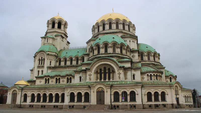 City
Sofia
Roman baths beneath St Nedelya include a partly explored hypocaust and pool. The 1906–1913 Central Mineral Baths building now houses Sofia’s Regional History Museum.
Explore SofiaPhotograph: Suicasmo · Photo source · CC BY-SA 4.0
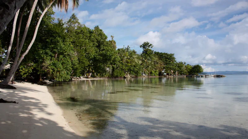 Country
Solomon Islands
Lake Tegano fills Rennell’s former atoll lagoon; a 2020–21 camera study on Vangunu recorded 95 images of Uromys vika.
Explore Solomon IslandsPhotograph: Xplore Dive · Photo source · CC BY 2.0
 Country
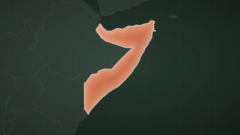
Somalia
Bushbushle’s coastal forest, Hobyo’s high dunes and Hafun’s 20 km sand spit mark three distinct Somali coasts.
Explore SomaliaIllustration: WorldStamped · Map data · Natural Earth map data, public domain
 Country
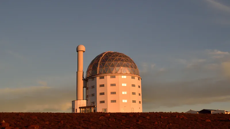
South Africa
Regional fynbos figures, the Little Foot find at Sterkfontein and the segmented primary mirror of SALT near Sutherland.
Explore South AfricaPhotograph: South African Tourism · Photo source · CC BY 2.0
 Country
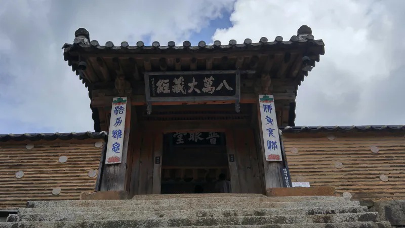
South Korea
Haeinsa holds about 80,000 Tripitaka Koreana woodblocks; UNESCO describes multicoloured carbonates in Jeju’s Geomunoreum lava tubes.
Explore South KoreaPhotograph: SpongeFan0304 · Photo source · CC BY-SA 4.0
 Country
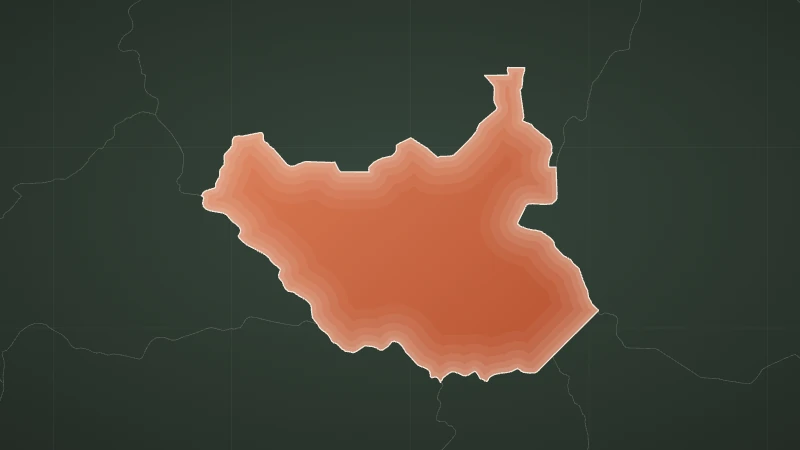
South Sudan
Seasonal movement at Boma–Badingilo, a gently sloping Sudd floodplain and the changing forest belts of the Imatong Mountains.
Explore South SudanIllustration: WorldStamped · Map data · Natural Earth map data, public domain
 City
South Tarawa
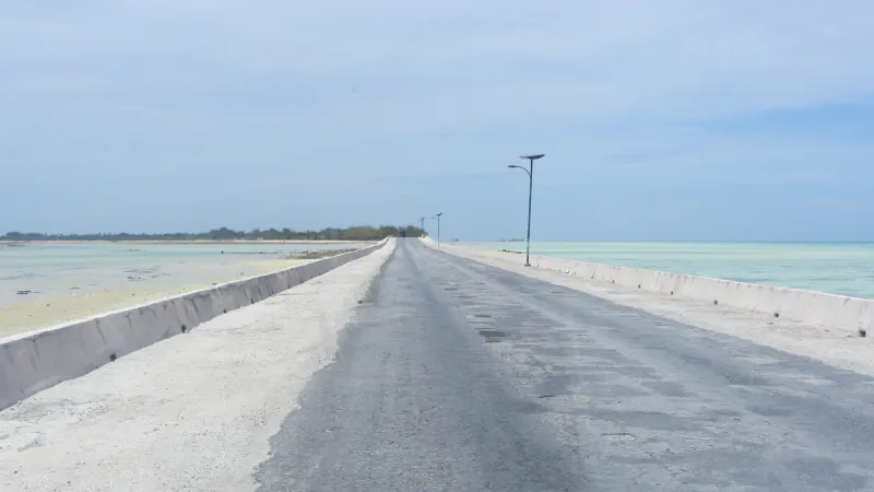
At the time of JICA’s FY2023 evaluation, water and communications ran on the Nippon Causeway’s lagoon side and the power cable on its ocean side.
Explore South TarawaPhotograph: Flexmaen · Photo source · CC BY-SA 4.0
 Country
Spain
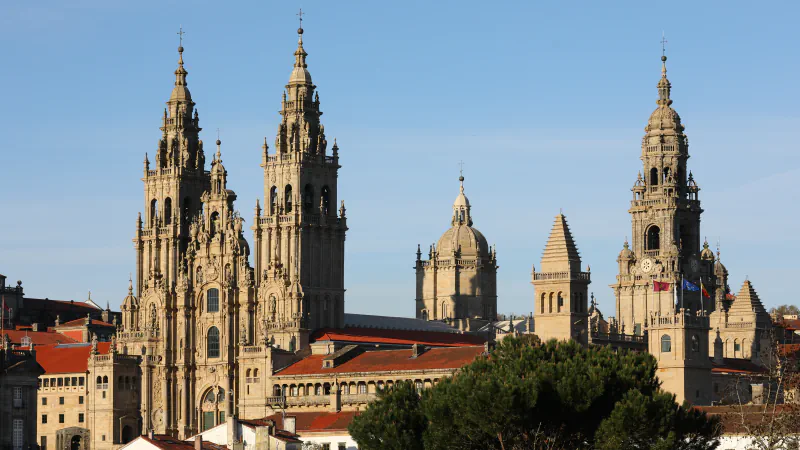
UNESCO groups four Northern Routes covering nearly 1,500 km in total; Santiago’s cathedral pairs Romanesque structure with a Baroque façade.
Explore SpainPhotograph: Lmbuga (Luis Miguel Bugallo Sánchez) · Photo source · CC BY-SA 4.0
 City
Sri Jayawardenepura Kotte
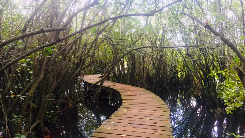
Beddagana’s map names a Duck Pond, a Forest Trail through forested marsh and a bird tower; the park page mentions Diyawanna Lake.
Explore Sri Jayawardenepura KottePhotograph: Rashod Sithumka · Photo source · CC BY-SA 4.0
 Country
Sri Lanka
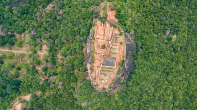
UNESCO records 139 of the 217 endemic tree and woody-climber species of Sri Lanka’s lowland wet zone in Sinharaja.
Explore Sri LankaPhotograph: dronepicr · Photo source · CC BY 2.0
 City
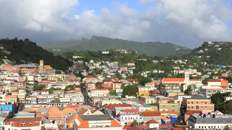
St. George’s
A ridge partly separates St. George’s planned grid from the unplanned part of town, shaped by the harbour and hills; the museum complex spans several periods.
Explore St. George’sPhotograph: Martin Falbisoner · Photo source · CC BY-SA 4.0
 City
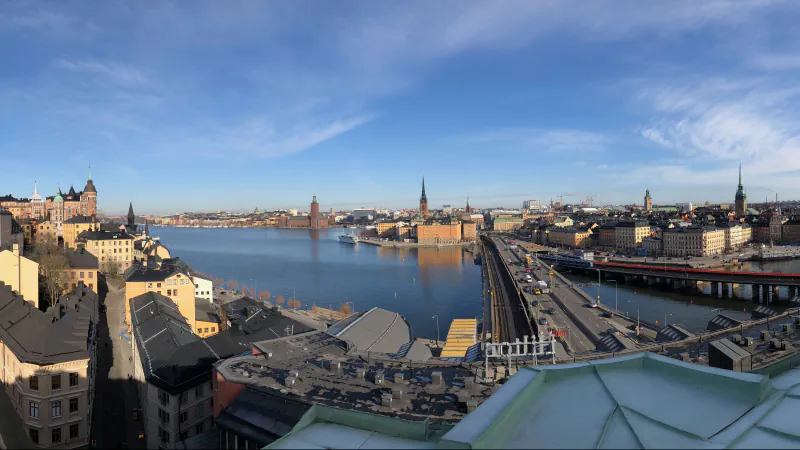
Stockholm
The City of Stockholm says the roofed Blue Hall at its City Hall gives an impression of openness, and that the waterfront colonnade resembles one in Venice.
Explore StockholmPhotograph: Peter Krantz · Photo source · CC BY 4.0
 City
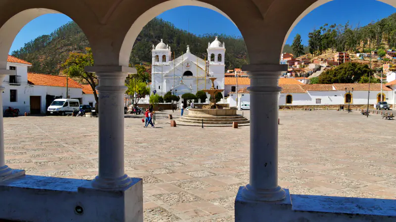
Sucre
Sucre’s ASUR museum shows Jalq’a and Tarabuco-Yampara weaving, the city was founded in 1538 on a chequerboard plan, and Cal Orck’o has over 12,000 dinosaur tracks.
Explore SucrePhotograph: Mario Falcetti · Photo source · CC BY 4.0
 Country
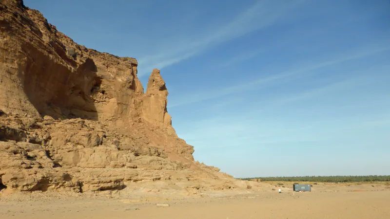
Sudan
Gebel Barkal’s sandstone landmark, Musawwarat’s rain-fed Great Hafir and a dated acoustic study of reef manta rays in Dungonab Bay.
Explore SudanPhotograph: Hans Birger Nilsen · Photo source · CC BY-SA 2.0
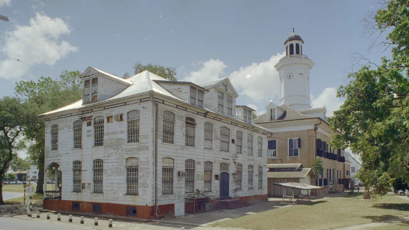 Country
Suriname
Most timber buildings in Paramaribo postdate two fires; Jodensavanne has more estimated burials than gravestones; the reserve protects Coppename headwaters.
Explore SurinamePhotograph: Loek Tangel / Rijksdienst voor het Cultureel Erfgoed · Photo source · CC BY-SA 4.0


Your world, stamped with memories
Which places are part of your world?
Mark the countries and places you have visited, keep the memories that go with them, and share your map when you choose. Your profile starts private.
Registration opens your own WorldStamped account. You choose which places to add.