🇸🇴Country
Somalia: Bushbushle’s seasons, the Hobyo dunes and the Hafun sand spit
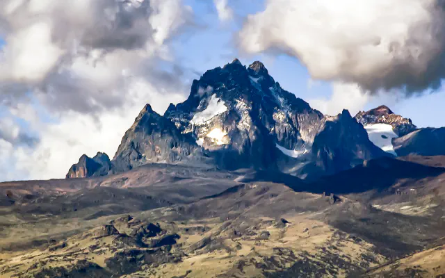
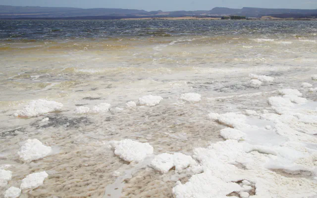
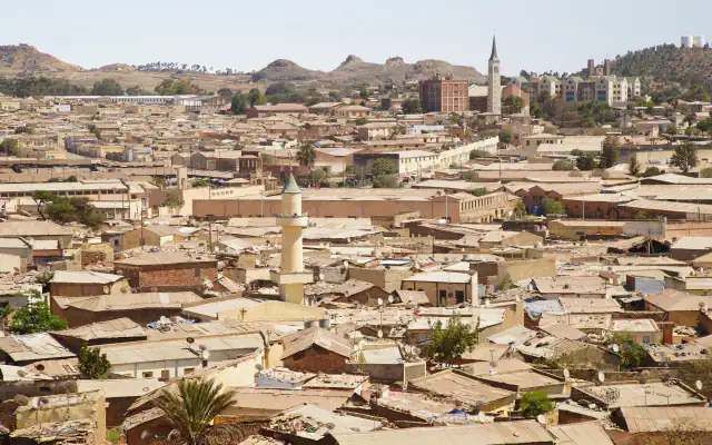
Bushbushle’s coast falls within East Africa’s coastal-forest region; Hobyo’s dunes rise behind a narrow shore; a roughly 20 km tombolo links Hafun at Somalia’s eastern tip to the mainland beside Khor Hordiyo lagoon.
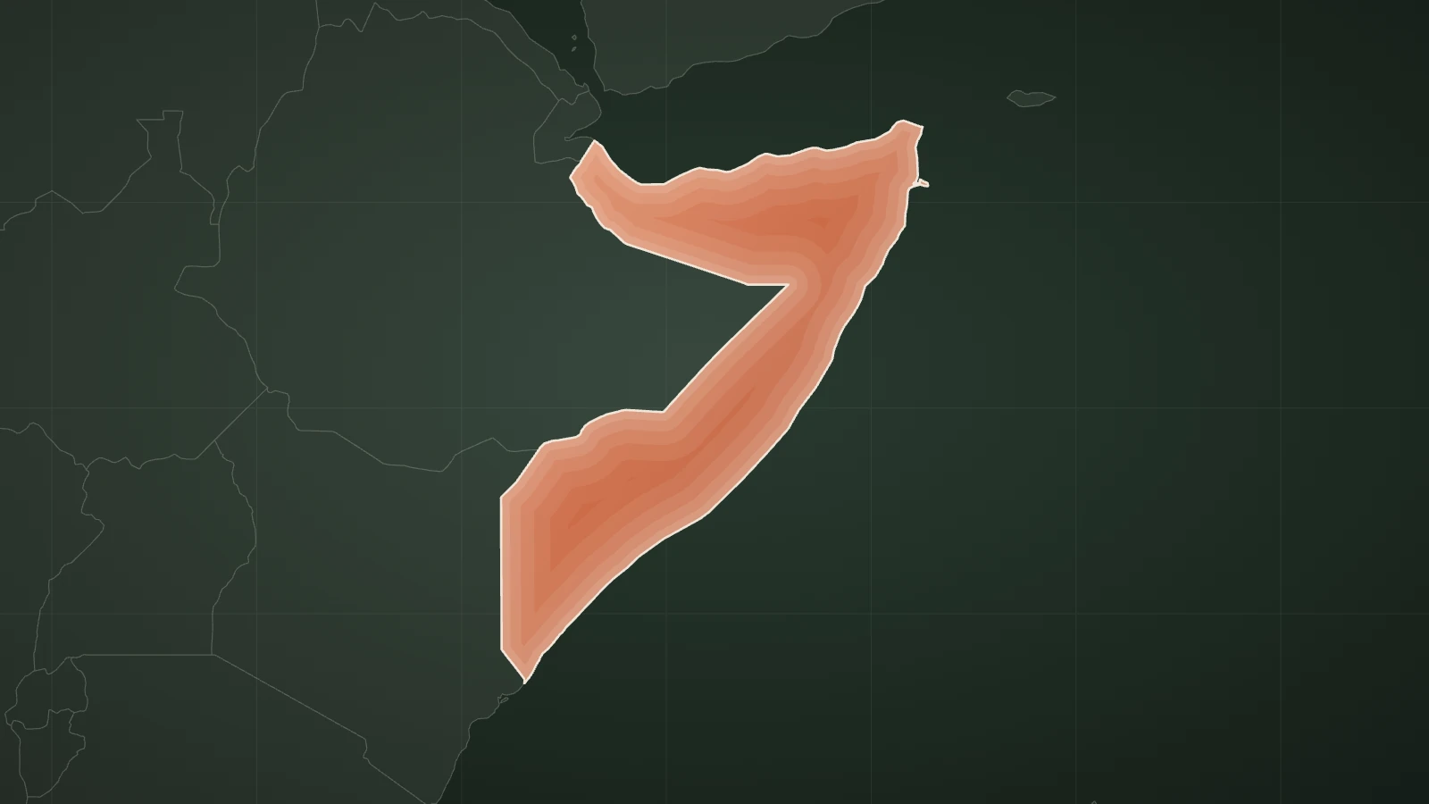
At a glance
A place worth remembering
Bushbushle: forest, savanna and mangrove in the far south
Somalia’s 2024 UNESCO Tentative List submission places Bushbushle National Park in Badhadhe district, Lower Juba, within East Africa’s coastal-forest region. It names four Somali seasons—Jilal, Gu’, Haga and Deyr—and estimates average annual rainfall at 400–600 mm. A separate Key Biodiversity Areas (KBA) profile, assessed in 2001, covers Laag Badaana, also called Lach Badana or Bushbush, in the far south of the country. It describes Acacia–Commiphora savanna, a forest–savanna mosaic, mangroves and some of the offshore Bajun islands with the reefs between them. It is a different source with its own boundaries, so it may not cover exactly the same area as the Tentative List entry. UNESCO states that the submitting State Party is responsible for the Tentative List entry’s content.[1][2]
Hobyo: 160 m dunes on Somalia’s south-east coast
The 2024 State Party submission places Hobyo’s grassland and shrubland on Somalia’s south-east coast, between Galkacyo and Warsheik. Its white-and-orange dune field is about 10–15 km wide; individual dunes reach up to 160 m.[3]
Hafun: a 20 km sand spit and two early coastal sites
Neville Chittick’s 1975 reconnaissance describes Ras Hafun as a prominent massif at Somalia’s eastern tip. A sand spit about 20 km long connects the headland to the mainland. A very extensive Khor Hordiyo lagoon lies north of the spit. Chittick records two coastal archaeological sites there—Hafun Main Site and Hafun West Site, about 7 km north-west of Hafun Main Site. His summary says one appears Graeco-Roman and the other may be earlier; both age readings are tentative.[4]
Good to know
A few clear answers before you explore.
How does the year divide in Bushbushle National Park?
Somalia’s 2024 submission names four seasons. Gu’ brings the main rains in April–June, while Deyr’s brief rains usually fall from about October to mid-December. Jilal is dry from December to March; Haga is a drier interval from June to late September. The entry estimates 400–600 mm of rain a year, with the north driest and south wettest. UNESCO says the State Party is solely responsible for the entry’s content.[1]
What did Chittick’s 1975 survey record at Hafun?
His report names two coastal sites on the peninsula, Hafun Main Site and Hafun West Site. In its summary, one appears Graeco-Roman and the other may be earlier; both attributions are tentative.[4]
What is the IUCN Red List category for the Obbia Lark?
The IUCN Red List table for version 2024-2 lists the Obbia Lark (Spizocorys obbiensis) as Least Concern, changed from Data Deficient in 2023; the table marks the change as non-genuine, that is, not a genuine change in the species’ status.[5]
The WorldStamped community
Every visit becomes part of a story.
- Members with public visits
- 0
- Places with public visits or memories
- 0
- Public memories
- 0
No public visits have been counted here yet. Add this destination to your own map and choose what you want to share.
Members are counted once. Counts include only eligible public activity from profiles that allow search discovery. Private and followers-only content is excluded.