🇰🇪Country
Kenya’s water records: Shela’s dunes, Bogoria’s high water and Mount Kenya’s mapped glaciers
UNESCO ties Lamu’s Shela dunes to the Old Town’s freshwater; reports describe Lake Bogoria’s high-water effects; and Mount Kenya glacier studies combine surveys from different periods.
At a glance
- Shela dunes
- UNESCO says they supply fresh water to Lamu Old Town and form part of its setting.[1]
- Lake Bogoria high water
- NASA reported nearly 80 percent of the hot springs underwater in 2020; the 2024 Ramsar table lists 225,132 lesser flamingos for 2021.[4][3]
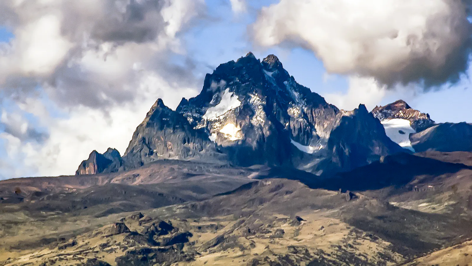
- Lewis Glacier
- 0.107 ± 0.001 km² in 2010, 23 percent below 2004 (Prinz et al., 2012).[8]
A place worth remembering
Lamu: the Shela dunes behind the old town’s water supply
Lamu Old Town sits on an island of the same name, some 350 km north of Mombasa. UNESCO’s account of its Swahili architecture names coral, lime and mangrove poles as building materials. National Museums of Kenya describes Lamu as a living town with narrow streets and Swahili building traditions. UNESCO also calls the Shela dunes a fundamental part of the Old Town’s setting and says development there threatens the town’s visual integrity as a town on an island and the fresh water the dunes supply.[1][2]
Lake Bogoria: high water and hot springs
Bogoria is an alkaline lake surrounded by hot springs and geysers, and part of UNESCO’s Kenya Lake System with Nakuru and Elementaita. NASA reported in 2020 that nearly 80 percent of the lake’s hot springs were underwater. The 2024 Ramsar sheet describes high water submerging springs, suppressing most geysers and affecting waterbirds and tourism. Its table lists an estimate of 225,132 lesser flamingos for 2021.[3][5][4]
Mount Kenya: a glacier record built from maps
Mount Kenya’s glacier record comes from studies with different time frames and methods. Prinz and colleagues measured the Lewis Glacier at 0.107 ± 0.001 km² in 2010, 23 percent below its 2004 area. Hastenrath’s 2005 map reaches further back, linking expedition observations from the late 19th century with photogrammetry through 2004. Its late-1800s baseline counted 18 ice bodies. Some later disappeared; the glaciers that remained shrank substantially, particularly from the 1970s onward. UNESCO attributes the mountain’s radiating valleys largely to glacial erosion and notes glacial tarns high on the mountain.[6][7][8]
Good to know
A few clear answers before you explore.
How do the Shela dunes connect to Lamu Old Town?
UNESCO calls the dunes a fundamental part of the town’s setting and says development there threatens its visual integrity as a town on an island and the fresh water the dunes supply.[1]
How did high water affect Lake Bogoria?
NASA reported in 2020 that nearly 80 percent of the hot springs were underwater. The 2024 Ramsar sheet describes effects on geysers and waterbirds and lists 225,132 lesser flamingos for 2021. These are dated reports, not a statement about present-day conditions.[4][3]
What does the 2010 Lewis Glacier figure measure?
It is the glacier’s area: 0.107 ± 0.001 km², 23 percent below its 2004 area. The 2012 study also reports surface mass balance measurements for 2010/11 and 2011/12. Hastenrath’s 2005 map uses expedition observations and photogrammetry through 2004.[8][7]
The WorldStamped community
Every visit becomes part of a story.
- Members with public visits
- 0
- Places with public visits or memories
- 0
- Public memories
- 0
No public visits have been counted here yet. Add this destination to your own map and choose what you want to share.
Members are counted once. Counts include only eligible public activity from profiles that allow search discovery. Private and followers-only content is excluded.