🇸🇽Country
Mullet Pond, the Great Salt Pond and the Proselyte wreck: three places in Sint Maarten
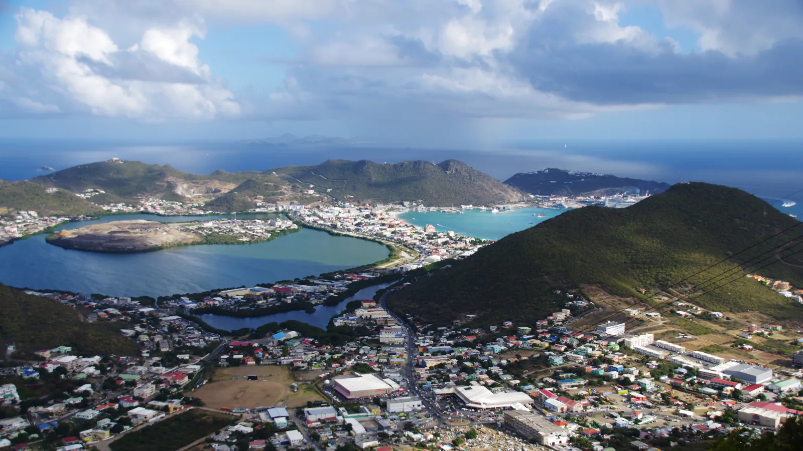
Sint Maarten is the name used here for the southern part of the Caribbean island of Saint Martin (Sint Maarten). In Simpson Bay Lagoon, Mullet Pond is a Ramsar wetland that, according to its information sheet, holds 70% of the mangrove forest remaining on Sint Maarten. Next to Philipsburg, the Great Salt Pond is lined with stone saltpans; the director of the Sint Maarten Archaeological Center writes that salt production reached 337,000 barrels a year by 1850. Off Great Bay lies the wreck of a Dutch frigate that sank in 1801 and was then named Proselyte.
At a glance
A place worth remembering
Mullet Pond: mangroves and seagrass in Simpson Bay Lagoon
Mullet Pond is a Ramsar Wetland of International Importance (site number 2270), designated on 23 May 2014 and covering 26.4 hectares. Its information sheet describes a semi-enclosed area of permanent shallow marine waters within Simpson Bay Lagoon. The site holds some of the few intact seagrass beds in the wider lagoon and, in the sheet’s words, 70% of the mangrove forest remaining on Sint Maarten. The sheet calls the mangroves and seagrass a nursery for juvenile fish that later move to local coral reefs, among them those of the Man of War Shoal Marine Park. The sheet also names the buttonwood Conocarpus erectus, listed as nationally critically endangered, and says the site is the last remaining habitat in the wider Simpson Bay area of Anolis pogus, a species endemic to the island, and the last intact foraging grounds in the lagoon of the globally endangered green turtle Chelonia mydas.[1]
Great Salt Pond: the island’s saltpans
Jay Haviser, director of the Sint Maarten Archaeological Center, gives the island’s Indigenous name as Soualiga, identified by the Carib and meaning ‘land of salt’, and considers it probable that the salt areas of the Great Pond lagoon mattered already in prehistoric times. He writes that salt was one of the key reasons for the first European settlement in the 17th century, and that by 1850 production had reached 337,000 barrels a year, with people of African descent as the main labourers. The archaeological site consists of dry-stone walls laid in geometric patterns to form the pans in which seawater was evaporated; the main historical pans cover the whole eastern side of the Great Salt Pond. Two further features are a Dutch-style wind-pump of the 19th century, lost in the mid-20th century, and a steam-powered facility built in the 1870s to pump fresh water and crush the salt. The saltpans were worked commercially from the early 17th century until the 1940s, and their eastern part was placed on the St. Maarten Monuments List in 2008.[2]
Man of War Shoal: a marine park and a frigate wreck
The Nature Foundation, which manages the Man of War Shoal Marine Park south of Philipsburg, says it was established on 31 December 2010 through a Marine Park Ordinance and covers 3,100 hectares of coral formations, historical shipwrecks and sunken artificial reefs. On a sandbar directly out from Great Bay harbour lies the wreck of a Dutch frigate named Jason in 1770, taken by the British and renamed Proselyte in 1796; it sank on the reef outside Great Bay on 2 September 1801. The entry in the Maritime Stepping Stones (MaSS) programme describes cannon, ballast, barrel hoops and anchors in about 50 feet (roughly 15 metres) of water. It records archaeological research by K. Bequette in 1994–1995, published in 1996, and by Wil Nagelkerken in the 2000s, and says the wreck is protected under the name of the sea mount it rests on, Man-O-War Shoal, as a nature and culture area of the Sint Maarten National Marine Park.[4][3]
Good to know
A few clear answers before you explore.
What is special about Mullet Pond?
Its Ramsar information sheet says it holds 70% of the mangrove forest remaining on Sint Maarten and some of the few intact seagrass beds in the wider Simpson Bay Lagoon, and calls it the last remaining habitat in the wider Simpson Bay area of Anolis pogus, a species endemic to the island, and the last intact foraging grounds in the lagoon of the green turtle.[1]
Why was salt important on Sint Maarten?
Jay Haviser of the Sint Maarten Archaeological Center writes that salt was one of the key reasons for the first European settlement in the 17th century and that production reached 337,000 barrels a year by 1850, with people of African descent as the main labourers. The saltpans were worked commercially until the 1940s.[2]
What is the Proselyte?
A Dutch frigate named Jason in 1770, taken by the British and renamed Proselyte in 1796. It sank on the reef outside Great Bay on 2 September 1801. The MaSS entry lists cannon, ballast, barrel hoops and anchors lying in about 50 feet (roughly 15 metres) of water.[3]
The WorldStamped community
Every visit becomes part of a story.
- Members with public visits
- 0
- Places with public visits or memories
- 0
- Public memories
- 0
No public visits have been counted here yet. Add this destination to your own map and choose what you want to share.
Members are counted once. Counts include only eligible public activity from profiles that allow search discovery. Private and followers-only content is excluded.