🇸🇰Country
Slovakia: castle chronology, tajchy and caves
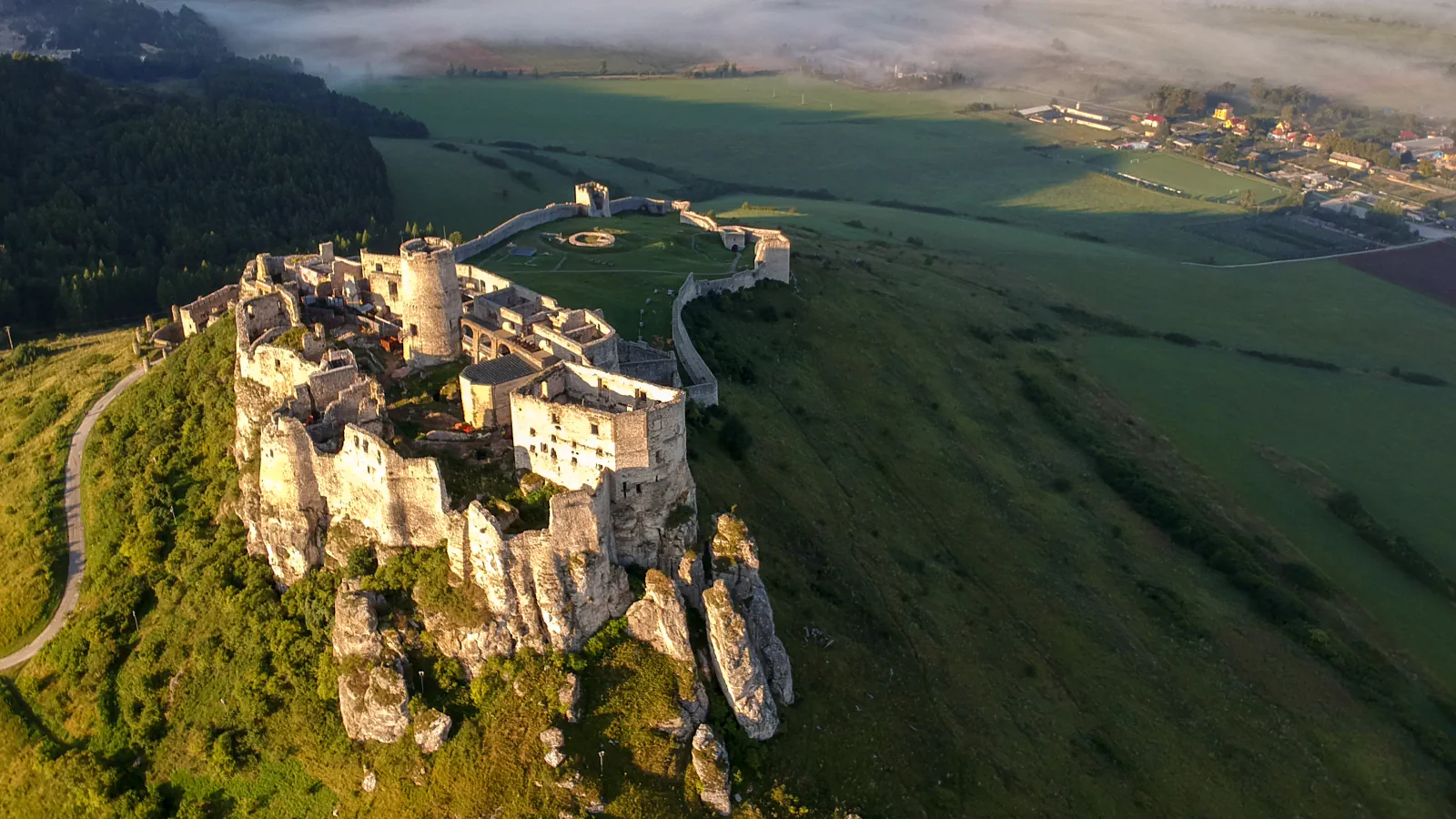
At Spiš Castle, a 2007–08 study revised the dates of selected towers, a gate and lower-ward works from the mid-15th to the mid-13th century. Near Banská Štiavnica, linked reservoirs supported mining; Domica has Neolithic traces and Dobšinská preserves cave ice.
At a glance
A place worth remembering
A revised chronology for specific castle works
The museum locates Spiš Castle on a limestone (travertine) outcrop above a cave system. Its account of 2007–08 research revises the dating of specific structures: two residential-defensive towers, the entrance gate and associated lower outer-ward fortifications, previously assigned to the mid-15th century, are placed in the mid-13th.[1]
Tajchy: reservoirs and channels for mining
In the Štiavnické vrchy, artificial reservoirs called tajchy are linked by collecting ditches. UNESCO places construction of the system in the 16th century and its expansion in the 18th; the network served mining and supplied the town with drinking water. The local conservation authority describes how water from Sitno’s slope reaches Počúvadlo reservoir through collecting ditches.[3][2]
Neolithic traces at Domica, ice at Dobšinská
Domica lies in the Slovak Karst; the cave authority dates Neolithic occupation there to 5–6 thousand years ago. The entrance building also displays stone and bone finds from excavations. At Dobšinská Ice Cave, descending passages begin at an entrance on Duča Hill’s north slope, 969.5 m above sea level; the cave authority links this layout and north-facing entrance with cold air sinking into the cave. It places the ice at 920–950 m, below the entrance.[4][5]
Good to know
A few clear answers before you explore.
Which Spiš Castle structures did the 2007–08 study re-date?
Two residential-defensive towers, the entrance gate and associated lower outer-ward fortifications were placed in the mid-13th century rather than the mid-15th.[1]
How did the tajchy water system support mining?
UNESCO describes the linked reservoirs and collecting ditches as a historical water system used for mining and the town’s drinking-water supply.[3]
Why does the Dobšinská Ice Cave retain ice below its entrance?
Its passages descend from a north-facing entrance, allowing cold air to sink into the cave. The cave authority places the ice at 920–950 m, below the 969.5 m entrance.[5]
The WorldStamped community
Every visit becomes part of a story.
- Members with public visits
- 0
- Places with public visits or memories
- 0
- Public memories
- 0
No public visits have been counted here yet. Add this destination to your own map and choose what you want to share.
Members are counted once. Counts include only eligible public activity from profiles that allow search discovery. Private and followers-only content is excluded.