🇸🇸Country
South Sudan: seasonal migration, the Sudd floodplain and Imatong’s forest belts
Seasonal rain and floods shape the habitats of Boma–Badingilo, while the Sudd’s extent follows river flow and rainfall. In the Imatong Mountains, vegetation changes with elevation.
At a glance
- Sudd floodplain gradient
- 1.0–1.5 cm per km northward (Ramsar Information Sheet, 2006)[3]
- Boma–Badingilo migration estimate
- UNESCO’s 2026 property description estimates six million antelopes moving across the landscape.[1]
- Imatong elevation and forest cover
- 1,000–3,187 m; forest covers 72% of the KBA site (last assessed 2011).[4]
A place worth remembering
Boma–Badingilo: migration across seasonal habitats
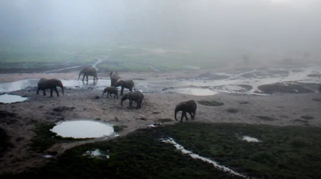
UNESCO locates the Boma–Badingilo landscape where the Sudd wetlands meet the East Sudanian Savanna. Its description links herd movement to changing environmental conditions and treats it at a landscape scale: seasonal rainfall and floods shape a connected mix of wetland, grassland and savanna habitats.[1]
Sudd: a floodplain with a northward gradient
The Ramsar Information Sheet completed in 2006 places the Sudd within the lower Bahr el Jebel floodplain and describes its gentle northward tilt. It also links the wetland’s changing extent to river discharge and rainfall; in an average year, flooding occurs from June to October.[3]
Imatong: vegetation changes with elevation
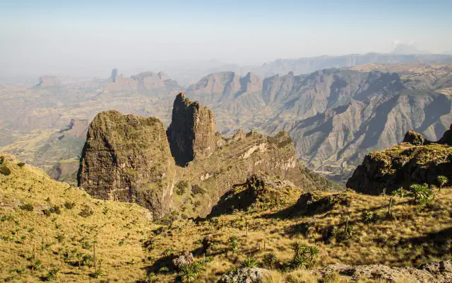
Across its 1,000–3,187 m elevation span, the Key Biodiversity Areas (KBA) profile for Imatong, last assessed in 2011, classifies 72% of the site as forest and records a transition from montane forest to Hagenia woodland at higher elevations.[4]
Good to know
A few clear answers before you explore.
How many animals does UNESCO estimate move across Boma–Badingilo?
The 2026 property description estimates six million antelopes moving across the wider landscape.[1]
Why is there no single fixed area for the Sudd?
The 2006 Ramsar sheet says the wetland’s extent varies with river discharge and rainfall. South Sudan’s 2017 Tentative List entry estimates about 57,000 km² overall, ranging from roughly 42,000 km² to 90,000 km² with seasonal flooding; these are estimates of a changing wetland, not one fixed boundary.[3][2]
What vegetation transition does the KBA profile record above the montane forest?
It describes a shift from montane forest to Hagenia woodland at higher elevations.[4]
The WorldStamped community
Every visit becomes part of a story.
- Members with public visits
- 0
- Places with public visits or memories
- 0
- Public memories
- 0
No public visits have been counted here yet. Add this destination to your own map and choose what you want to share.
Members are counted once. Counts include only eligible public activity from profiles that allow search discovery. Private and followers-only content is excluded.