City
St. George’s: a ridge between two urban forms
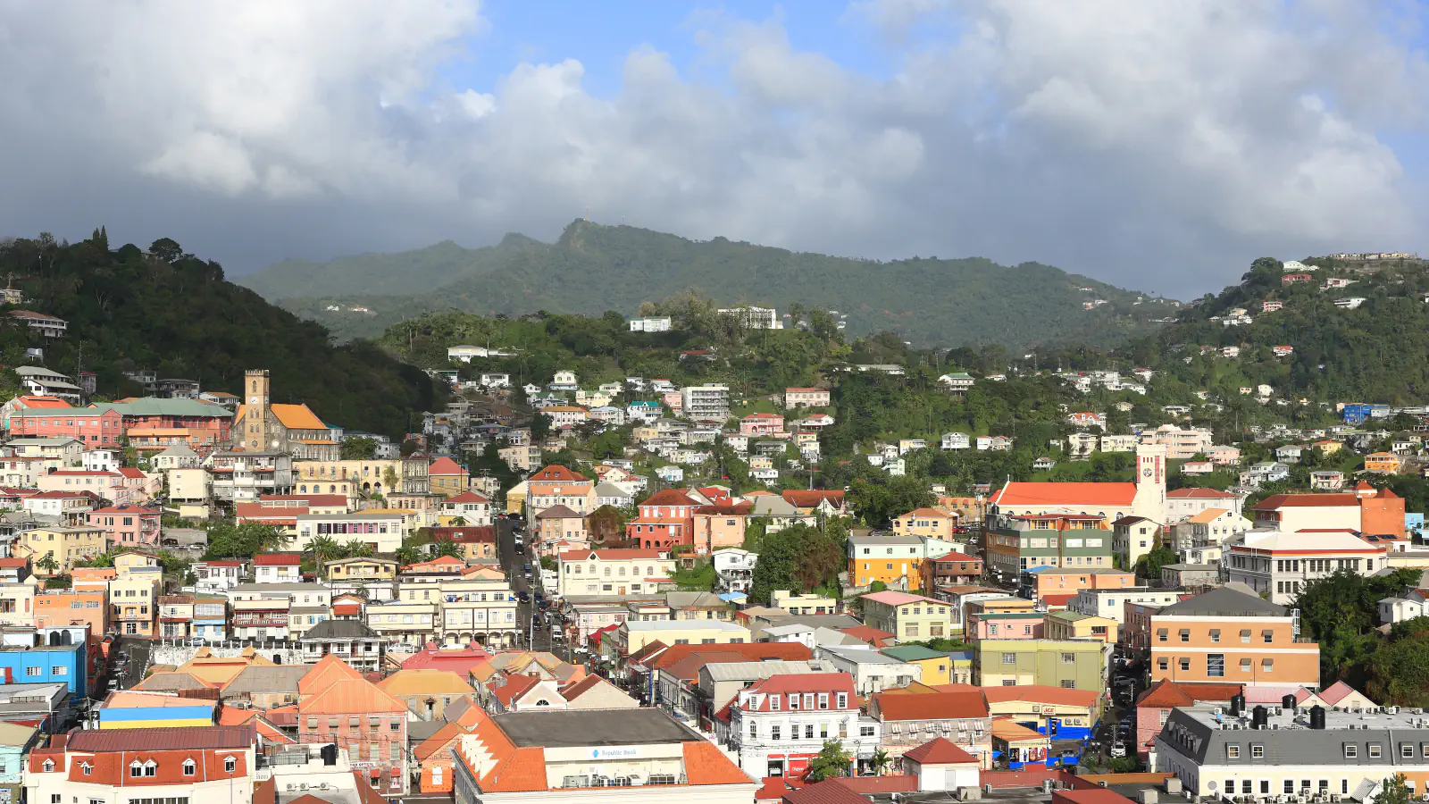
Grenada’s 2004 UNESCO tentative-list submission describes a ridge partly separating the planned grid from the unplanned part of town, shaped by the natural harbour and hill contours. The museum’s history page also describes a larger Young Street building above the former Home Hotel.
At a glance
- Urban layout
- A ridge partly separates the planned grid from the unplanned part of the town, shaped by the harbour and hillside contours.[1]
- Museum building sequence
- The museum dates the corner foundation to the mid-1700s and places the larger building above the former Home Hotel in a later phase beginning in 1932.[2]
- Rules after the fires
- A municipal law passed after the 1771 and 1775 fires called for brick or masonry buildings with clay-tile roofs, built as free-standing units.[1]
A place worth remembering
A ridge between the planned and unplanned parts
In its 2004 tentative-list submission, Grenada describes the ridge along Church Street as a partial divider between the planned grid and the unplanned part of the town. The submission says this part was took its form from the natural harbour and the hills around it, and grew from the early 19th century onwards.[1]
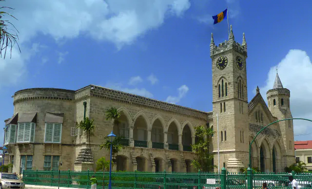
A museum complex built in layers
The museum’s history page dates the foundation of the corner building at Monckton and Young Streets to the mid-1700s. It dates the sale of the buildings and their conversion into the Home Hotel to some point between 1850 and 1880. The museum places a larger Young Street building above the former hotel in the complex’s later phase, which began in 1932.[2]
A grid shaped by two fires
The 2004 submission says the planned part of St. George’s was set out as a grid around a central square and developed mainly in the eighteenth century. It attributes much of that area’s present appearance to a municipal law passed after fires in 1771 and 1775, which called for brick or masonry buildings with clay-tile roofs, built as free-standing units rather than row houses. In the unplanned part, it adds, historic buildings are mostly wooden, in a vernacular Caribbean style.[1]
Good to know
A few clear answers before you explore.
How does the terrain relate to the town’s two layouts?
Grenada’s 2004 tentative-list submission describes a ridge along Church Street as a partial divide; the unplanned part of the town follows the natural harbour and hill contours, unlike the planned grid.[1]
How does the larger Young Street building relate to the former hotel?
The museum describes a larger building above the former Home Hotel as part of a later complex phase that began in 1932.[2]
What materials do the historic buildings of the unplanned part of the town use?
The 2004 submission says they are mostly wooden, in a vernacular Caribbean style.[1]
The WorldStamped community
Every visit becomes part of a story.
- Members with public visits
- 0
- Places with public visits or memories
- 0
- Public memories
- 0
No public visits have been counted here yet. Add this destination to your own map and choose what you want to share.
Members are counted once. Counts include only eligible public activity from profiles that allow search discovery. Private and followers-only content is excluded.