The destination journal
Places to discover. A world to remember.
Explore countries, territories and cities through their landscapes, local stories and carefully sourced facts. Then make them part of your own WorldStamped map.
Create your mapExplore the collection
Countries, territories and cities, with cited sources and credited photographs or clearly labelled illustrations.
Showing destinations 251–275 of 409
 Country
New Zealand
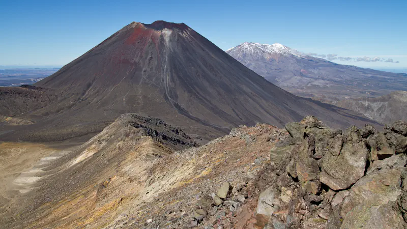
New Zealand through three places: the sacred volcanoes of Tongariro, Waitangi in the Bay of Islands where the Treaty was signed, and Fiordland’s glacier-cut fiords.
Explore New ZealandPhotograph: Eusebius · Photo source · CC BY 3.0
 City
Ngerulmud
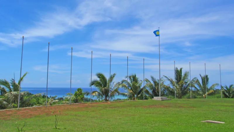
A 2006 newspaper account describes Ngerulmud’s three-wing complex around an open plaza, with covered breezeways and a dome about 12 m high.
Explore NgerulmudPhotograph: tata_aka_T · Photo source · CC BY 2.0
 City
Niamey
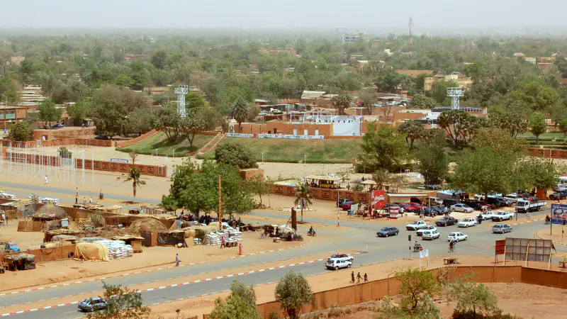
Niamey 2000 fits six family homes into a conventional compound footprint, pairing earthen walls with shaded courtyards for passive cooling.
Explore NiameyPhotograph: Roland Huziaker · Photo source · CC BY-SA 2.0
 Country
Nicaragua
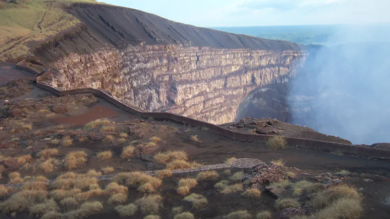
Sharks tagged between Lake Nicaragua and the Caribbean, 13 instruments on Masaya volcano and the ruins of León Viejo: three sourced places for your map.
Explore NicaraguaPhotograph: Albert Olivé · Photo source · CC BY-SA 3.0
 City
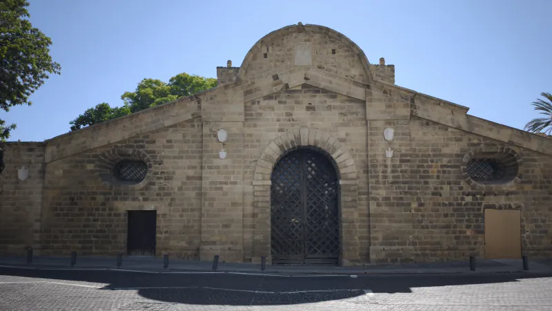
Nicosia
A star-shaped wall plan, a cultural centre inside Famagusta Gate, NiMAC in a former power station and a museum in an 1885 merchant’s house.
Explore NicosiaPhotograph: Viaggiamocela · Photo source · CC BY-SA 4.0
 Country
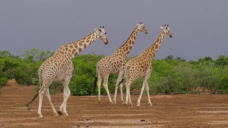
Niger
Nigersaurus skull evidence, a 2022 giraffe genetics study and Agadez’s 27 m mud-brick minaret give three sourced views of Niger.
Explore NigerPhotograph: Barke11 · Photo source · CC BY-SA 4.0
 Country
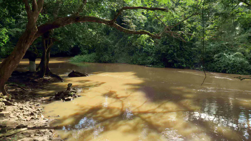
Nigeria
Nigeria in three places: the paved hill landscape of Sukur in Adamawa, the Osun-Osogbo Sacred Grove in Osun State and the old city walls of Kano.
Explore NigeriaPhotograph: Omoeko Media · Photo source · CC BY-SA 4.0
 Country
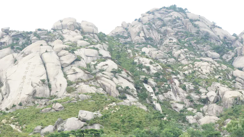
North Korea
Painted Koguryo tombs in Pyongyang and surrounding provinces, Kaesong’s mountain basin and Mount Kumgang’s pale granite.
Explore North KoreaPhotograph: Uri Tours (uritours.com) · Photo source · CC BY-SA 2.0
 Country
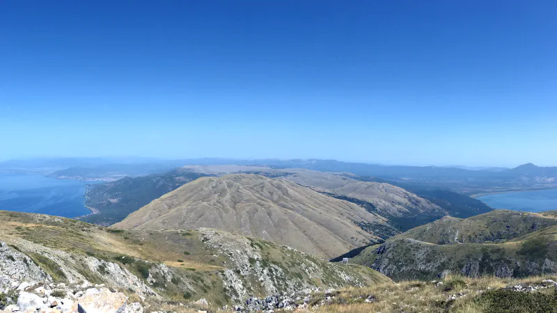
North Macedonia
Prespa’s underground link to Ohrid springs, Stobi’s synagogue layers and Heraclea’s garden-scene mosaic connect lakes and ancient sites.
Explore North MacedoniaPhotograph: Liridon · Photo source · CC BY-SA 4.0
 Country
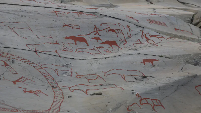
Norway
Norway through three World Heritage places: Alta’s shoreline rock carvings, Bergen’s Hanseatic wharf and the Hammerfest end of the Struve Arc.
Explore NorwayPhotograph: Hans A. Rosbach · Photo source · CC BY-SA 3.0
 City
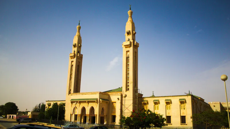
Nouakchott
A 2010 FAO report links Ten Soueilim seedbeds to even light and recommends porous sand fences; USGS explains the green belt’s red display in Landsat imagery.
Explore NouakchottPhotograph: Ammar Hassan · Photo source · CC BY 2.0
 City
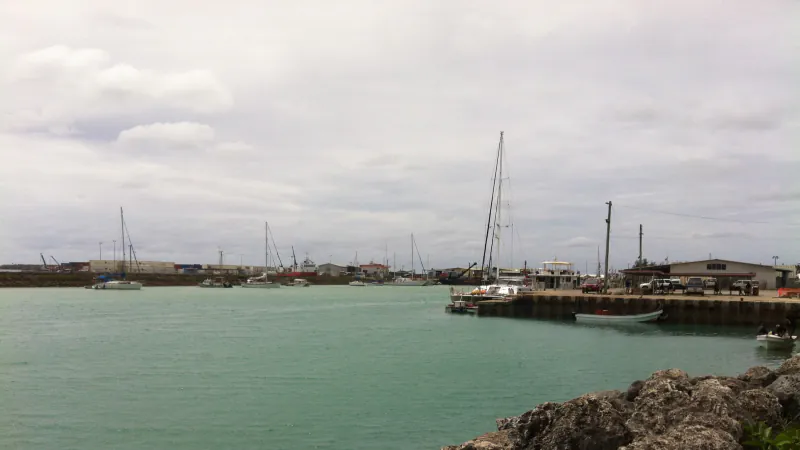
Nuku’alofa
A 2011 study tracks produce through Talamahu and two other markets in 2010, while its data caveat limits what those totals mean.
Explore Nuku’alofaPhotograph: David Broad · Photo source · CC BY 3.0
 City
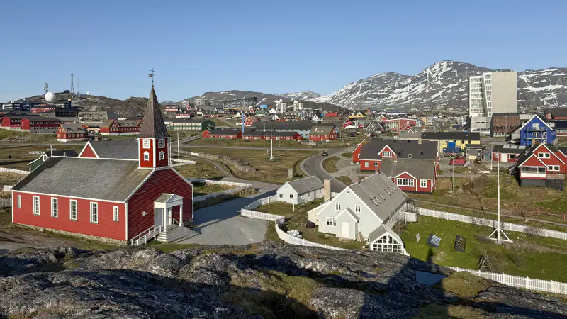
Nuuk
Katuaq’s three spaces are a semicircle, square and triangle; Nuuk Art Museum occupies reused buildings, and the National Museum keeps skin boats.
Explore NuukPhotograph: Quintin Soloviev · Photo source · CC BY 4.0
 Country
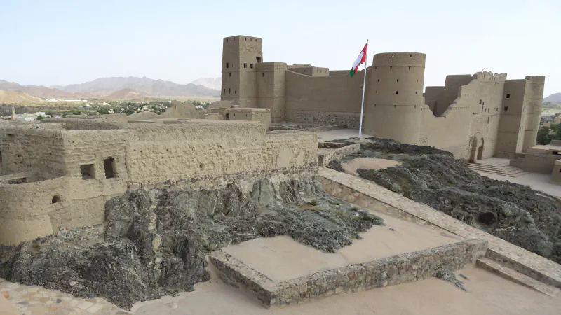
Oman
Bahla’s earthen conservation, a falaj star-marker mismatch at Qarya Beni Subh, and Dhofar frankincense types linked to their growing regions.
Explore OmanPhotograph: Fabio Achilli · Photo source · CC BY 2.0
 City
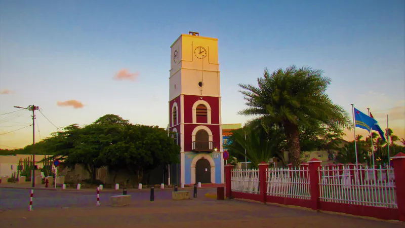
Oranjestad
Arends family house stone was reused in Oranjestad’s old Protestant church; the Willem III Tower served as a lighthouse and public clock.
Explore OranjestadPhotograph: Isbelia90 · Photo source · CC BY-SA 4.0
 City
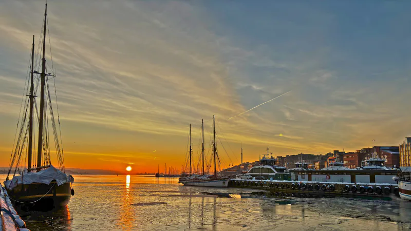
Oslo
The Fram Museum describes a hull designed to be lifted by ice; Oslo Museum holds city photographs, and a science museum pairs a water wheel with a steam engine.
Explore OsloPhotograph: Geir Hval (www.MacWhale.eu) · Photo source · CC BY-SA 4.0
 City
Ottawa
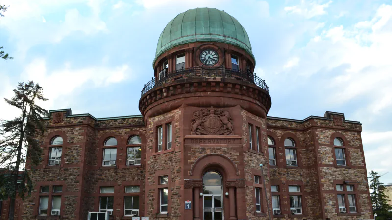
An 1891 generator hall manages heat through its design; Ottawa’s observatory served astronomy and seismology, and its farm combines research plots and gardens.
Explore OttawaPhotograph: Cantons-de-l'Est · Photo source · CC BY-SA 4.0
 City
Ouagadougou
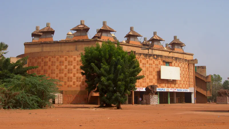
UNESCO’s Tentative List describes passive roof ventilation at Maison du Peuple; Ramsar’s site links Bangr-Weoogo Urban Park with three reservoirs.
Explore OuagadougouPhotograph: Sputniktilt · Photo source · CC BY-SA 3.0
 Country
Pakistan
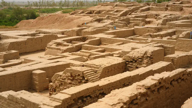
Three places in Sindh, Balochistan and Punjab: brick wells and drains at Mohenjo-daro, drilled molars from a Mehrgarh cemetery and the Shalamar Gardens tanks.
Explore PakistanPhotograph: Usman.pg · Photo source · CC BY-SA 3.0
 Country
Palau
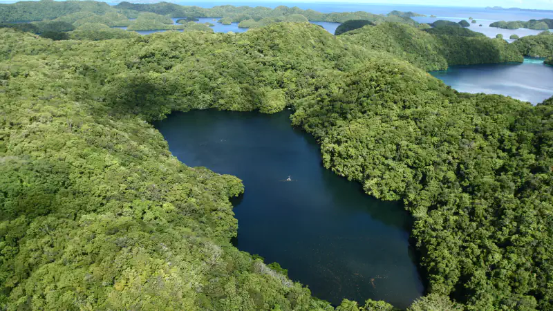
Yapese carvers crossed sea to quarry stone in Palau; Ollei holds an andesite coffin, and Jellyfish Lake is monitored monthly.
Explore PalauPhotograph: Lukas · Photo source · CC BY 2.0
 City
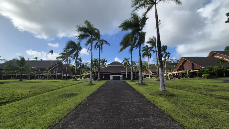
Palikir
A 2023 course companion frames Palikir’s campus as an ethnobotanical garden; the 2024–25 catalog lists a Micronesia Pacific collection and two courts.
Explore PalikirPhotograph: MaxMonaco · Photo source · CC BY-SA 4.0
 Country
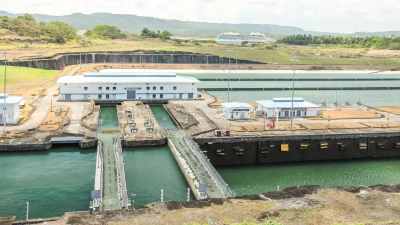
Panama
Panamá Viejo’s archaeological area spans 28 hectares; the Patronato puts the original city at 60. ACP says expanded locks reuse 60% of water per transit.
Explore PanamaPhotograph: Dr. Thomas Liptak · Photo source · CC BY-SA 4.0
 City
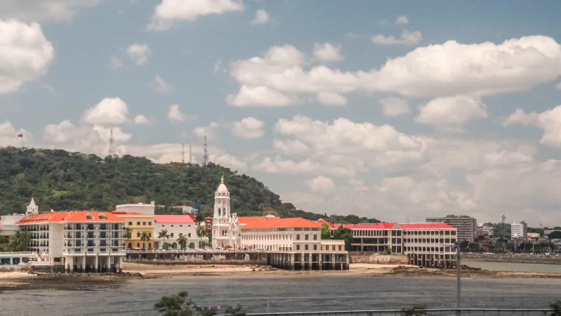
Panama City
Panamarama at the Biomuseo uses ten screens, aquaria compare the Pacific and the Caribbean, and a separate museum in Casco Antiguo presents the mola.
Explore Panama CityPhotograph: Dr. Thomas Liptak · Photo source · CC BY-SA 4.0
 Country
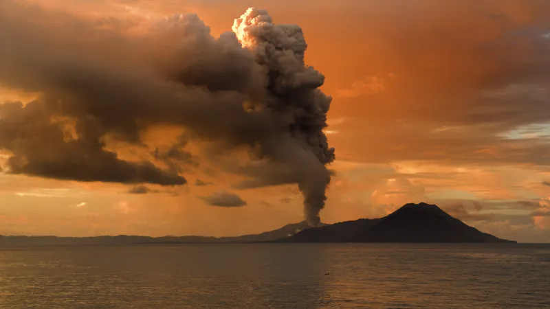
Papua New Guinea
At Kuk, drainage traces span millennia; a Maprik plaque’s label discusses Nggwalndu, and a bulletin puts Rabaul’s 1994 eruptions 72 minutes apart.
Explore Papua New GuineaPhotograph: Taro Taylor · Photo source · CC BY 2.0
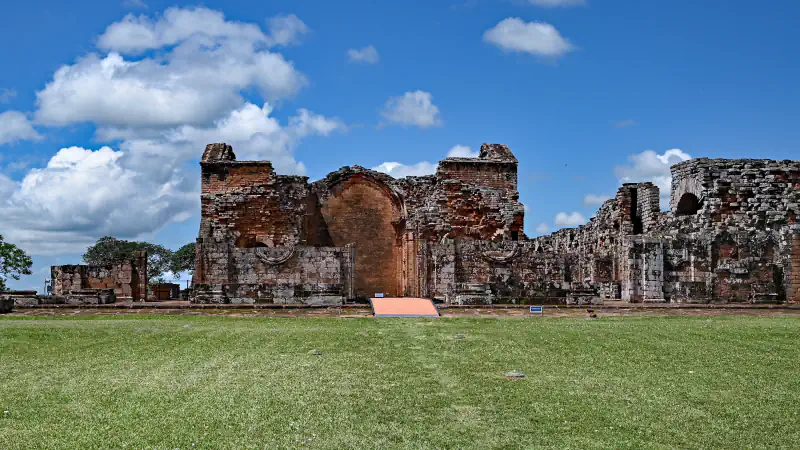 Country
Paraguay
Eight minutes at Itaipú in 1982, the Jesuit mission ruins of Trinidad and Jesús, and a Chaco salt lake whose salinity follows the rain: three places across Paraguay.
Explore ParaguayPhotograph: P. Hughes · Photo source · CC BY 4.0


Your world, stamped with memories
Which places are part of your world?
Mark the countries and places you have visited, keep the memories that go with them, and share your map when you choose. Your profile starts private.
Registration opens your own WorldStamped account. You choose which places to add.