🇵🇬Country
Wetland cultivation, a Maprik plaque and Rabaul’s timed eruptions
Kuk’s drainage channels preserve evidence of long-running wetland cultivation. A Hood Museum object record describes an Abelam plaque; a Global Volcanism Network bulletin places the starts of Tavurvur’s and Vulcan’s 1994 eruptions 72 minutes apart.
At a glance
A place worth remembering
Kuk: archaeology records changing wetland cultivation
The archaeology at Kuk preserves a farming landscape: cultivation mounds mark worked ground, while drainage channels altered the wetland. UNESCO describes reclamation as almost continuous for 7,000 years, possibly 10,000, and dates the transition toward agriculture to about 6,500 years ago.[1]
Maprik plaque and a label on Nggwalndu figures
A Hood Museum collection record describes a mid-20th-century Abelam wooden plaque from Maprik. Its label discusses Nggwalndu spirit figures, linking some to Abelam myths, and adds general context: such figures were kept in a haus tambaran, where most women would not have seen them. The object page says the plaque is not currently on view.[2]
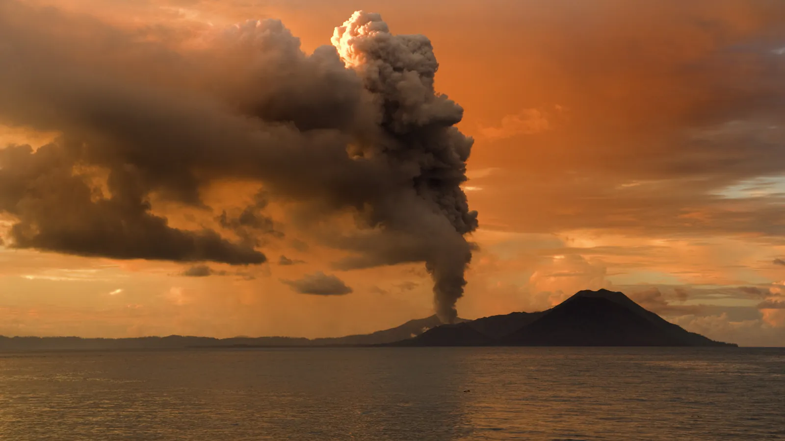
Rabaul: the 1994 eruptions began 72 minutes apart
The Global Volcanism Network’s September 1994 bulletin records Tavurvur beginning at 06:05 local time on 19 September and Vulcan at 07:17. It describes Vulcan’s eruption as the more powerful, with a brief Plinian phase.[3]
Good to know
A few clear answers before you explore.
How long does UNESCO say wetland reclamation continued at Kuk?
The UNESCO description says the archaeological record indicates almost continuous reclamation for 7,000 years, possibly 10,000; it dates the transition toward agriculture to around 6,500 years ago.[1]
What does the Hood Museum label say about Nggwalndu?
It describes Nggwalndu as spirit figures, some linked to Abelam myths; its general note says such figures were kept in a haus tambaran and most women would not have seen them. The object page says this plaque is not currently on view.[2]
How far apart did Tavurvur and Vulcan begin erupting in 1994?
The Global Volcanism Network bulletin gives 06:05 and 07:17 local time on 19 September, 72 minutes apart.[3]
The WorldStamped community
Every visit becomes part of a story.
- Members with public visits
- 0
- Places with public visits or memories
- 0
- Public memories
- 0
No public visits have been counted here yet. Add this destination to your own map and choose what you want to share.
Members are counted once. Counts include only eligible public activity from profiles that allow search discovery. Private and followers-only content is excluded.