🇳🇬Country
Nigeria: a paved granite hill in Adamawa, a sculpted forest shrine in Osogbo and a walled city in Kano
From the Cameroon border to the Yoruba south-west and the northern city of Kano: three Nigerian places, described here through documents written by Nigeria’s own heritage commission, by UNESCO and by the advisers who assessed them. They are Sukur in Adamawa State, the Osun-Osogbo Sacred Grove in Osun State and the walls of Kano. They are three places, not an overview of Nigeria.
At a glance
- Sukur
- Walkways to the Hidi’s palace are 5 to 7 m wide and made of granite slabs (ICOMOS, 1999)[2]
- Osun-Osogbo
- Sculptures in mud, iron and cement rather than wood that could be stolen (Nigeria’s 2004 nomination file)[4]
- Kano walls
- Foundation laid between 1095 and 1134, extended in the 16th century (NCMM, Tentative List text)[5]
A place worth remembering
Sukur, Adamawa State: paved tracks as well as terraces
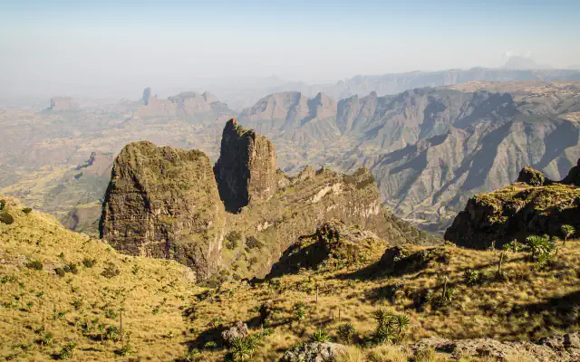
Sukur lies in Madagali local government area of Adamawa State, near the Cameroon border and, according to UNESCO, some 290 km from the state capital Yola; the hilltop settlement stood at 1,045 m. UNESCO lists terraced fields, dry-stone structures and stone-paved walkways. The ICOMOS evaluation of 1999 says terraced farming of this kind is not unique to Sukur and is also practised by the Kofyar hill farmers of the Jos Plateau, and it names paved tracks and the spiritual content of the terraces, such as sacred trees, as the features it did not find elsewhere. Paved walkways 5 to 7 m wide, made of granite slabs, lead to the palace of the Hidi (chief) from the north and the east. The same evaluation says the Dur dynasty of chiefs was established in the 17th century, that Sukur became a major iron-producing region supplying north-eastern Nigeria, that this phase continued until the first decade of the 20th century and that smelting ended around 1960. Remains of many shaft furnaces, blown with bellows and usually built close to their owners’ houses, can still be found. UNESCO adds the below-ground wells topped by conical stone structures, set in enclosures with pens where cattle and sheep are fattened.[1][2]
Osogbo, Osun State: a forest shrine rebuilt in mud, iron and cement
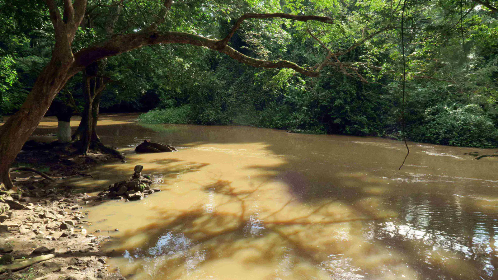
The Osun-Osogbo Sacred Grove covers 75 ha on the edge of Osogbo, about 250 km from Lagos by UNESCO’s figure, with a 47 ha buffer zone, and the Osun river winds through it. Nigeria’s 2004 nomination file records the oral tradition: the elephant hunter Olutimehin found the forest, and his friend Larooye, looking for water after a drought, made a pact with the goddess Osun, respect and protection for the grove in return for prosperity and protection. The community renews it every year at the Osun-Osogbo festival, which UNESCO says lasts twelve days in July and August. The nomination also explains why the grove looks as it does. When it was losing importance, Suzanne Wenger, an Austrian artist who had been initiated into the cult of Obatala, formed a group with local artists and, with the support of the Ataoja (king), began raising decorated walls, large sculptures and buildings around the shrines and palace remains. The file says the heaviest materials were chosen, mud, iron and cement, instead of wooden sculptures that could easily be stolen, and that encroachment on the grove then stopped; some gods never accepted sculptural work, and their shrines remain natural spaces or objects. UNESCO notes that traditional taboos forbid fishing, hunting, felling trees and farming in the grove, and lists over 400 plant species, more than 200 with known medicinal uses.[3][4]
Kano: a wall, a hill and a market laid out in lanes
Kano State is in north-western Nigeria. In 2007 Nigeria’s National Commission for Museums and Monuments (NCMM) put “Ancient Kano City Walls and Associated Sites” on UNESCO’s Tentative List; the property is not inscribed. In that submission the foundation of the walls was laid by Sakri Gijimasu between 1095 and 1134, work was completed in the middle of the 14th century under Zamnagawa, and the walls were extended to their present position in the 16th century; the gates are as old as the walls and mostly in ruins. The associated sites are Dala Hill, an archaeological site of a settlement dating to the 10th century AD; Kurmi Market, laid out in lanes in which each lane’s traders deal in the same kind of goods, such as leatherwork, textiles, iron and brass work or spices; and the Emir’s Palace, built by Muhammadu Rumfa, who ruled Kano from 1463 to 1499, with three gates (Kofar Kwaru, Kofar Fatalawa and Kofar Kudu) and three sections. These descriptions are the Commission’s own; UNESCO publishes tentative-list texts without expressing any opinion on them.[5]
Good to know
A few clear answers before you explore.
What sets Sukur apart from other terraced landscapes?
The 1999 ICOMOS evaluation says terraced farming is not unique to Sukur; the Kofyar hill farmers of the Jos Plateau practise it too. It names paved tracks and the spiritual content of the terraces, with ritual features such as sacred trees, as the exceptional features not found elsewhere. UNESCO’s property page repeats the same two points.[2][1]
Why does the Osun-Osogbo grove contain so much modern sculpture?
According to Nigeria’s nomination file, Suzanne Wenger and local artists, with the Ataoja’s support, built walls, sculptures and buildings around the shrines when the grove was losing importance. They used mud, iron and cement because wooden figures could easily be stolen, and encroachment on the grove stopped. UNESCO describes the grove as an active religious site with daily, weekly and monthly worship.[4][3]
Are the walls of Kano a World Heritage property?
No. Nigeria’s National Commission for Museums and Monuments submitted them to UNESCO’s Tentative List in 2007, and they are not inscribed. UNESCO publishes such texts as submitted by the country and says publication does not express any opinion on them; the submission itself says that most of the gates are largely in ruins.[5]
The WorldStamped community
Every visit becomes part of a story.
- Members with public visits
- 0
- Places with public visits or memories
- 0
- Public memories
- 0
No public visits have been counted here yet. Add this destination to your own map and choose what you want to share.
Members are counted once. Counts include only eligible public activity from profiles that allow search discovery. Private and followers-only content is excluded.