🇴🇲Country
Oman: Bahla’s conservation, falaj star markers and Dhofar frankincense
Records from Bahla distinguish cement-related work from later earth-based conservation. At Qarya Beni Subh, star dividers did not align with water intervals; Dhofar’s frankincense types are associated with regional growing areas.
At a glance
- Bahla Fort
- A document dated 10 May 1995 recounts an ICOMOS mission from 11–18 December 1994.[2]
- Qarya Beni Subh
- Three athar divisions; four official divider stars between Vega and Deneb, none aligned with an athar division.[3]
- Dhofar frankincense
- A traditional regional classification described in a 2025 study.[4]
A place worth remembering
Bahla Fort: conservation materials and method
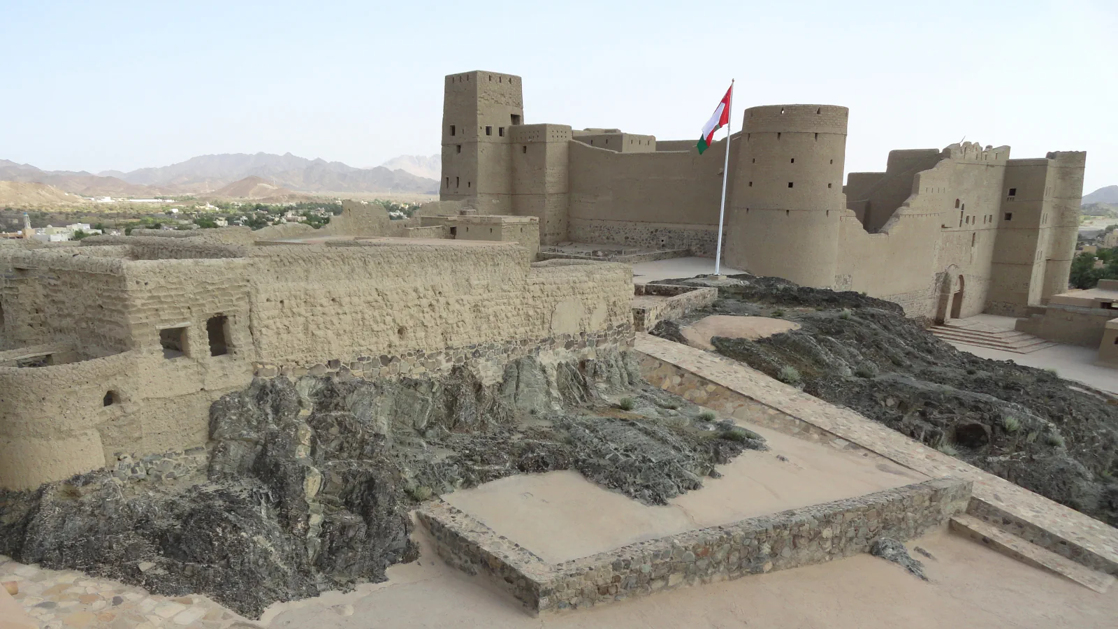
A UNESCO Bureau document dated 10 May 1995 recounts an ICOMOS visit to Bahla spanning 11–18 December 1994. The mission reported cement added to bricks and a cement-containing sarooj coating that hid older masonry; it described the intervention as renovation rather than restoration. UNESCO’s property account says conservation from 1995 used earthen-based materials.[2][1]
Qarya Beni Subh: water intervals and star markers
The Qarya Beni Subh account distinguishes irrigation intervals from the stellar markers used alongside them. In the span between Vega and Deneb, Nash records three athar divisions but four official divider stars; none of the stars coincides with an athar division.[3]
Dhofar: frankincense types shaped by place
Johnson and colleagues’ 2025 paper describes a traditional regional classification for Dhofar frankincense. It associates Hojary with Jebel Samhan’s uplands and Sha’abi with low coastal areas around Salalah.[4]
Good to know
A few clear answers before you explore.
How did farmers away from a sundial learn when a water turn had arrived?
At Tayma and Abaat near Sur, Nash records a conch shell being used to signal to farmers that a water turn had arrived.[3]
What do the Hojary and Sha’abi labels indicate?
The article describes them as traditional regional types associated with different geographic and ecological settings.[4]
When did conservation at Bahla switch to earthen-based materials?
UNESCO’s property account says that from 1995 conservation at Bahla Fort relied solely on earth-based materials.[1]
The WorldStamped community
Every visit becomes part of a story.
- Members with public visits
- 0
- Places with public visits or memories
- 0
- Public memories
- 0
No public visits have been counted here yet. Add this destination to your own map and choose what you want to share.
Members are counted once. Counts include only eligible public activity from profiles that allow search discovery. Private and followers-only content is excluded.