🇯🇴Country
Jordan: flood routes, inscribed waterworks and painted spaces
At Petra, a Nabataean tunnel was cut to redirect floodwater away from the Siq. A 2011 ICOMOS evaluation links Wadi Rum inscriptions with water installations; Quseir Amra preserves murals and a zodiac above its hot room.
At a glance
- Tunnel dimensions
- The Petra Development and Tourism Region Authority gives the tunnel’s length as 88 m and its height as 12.8 m.[3]
- Wadi Rum in 2011
- ICOMOS documents eleven dams with Thamudic inscriptions around Jebel Mughra.[5]
- Quseir Amra
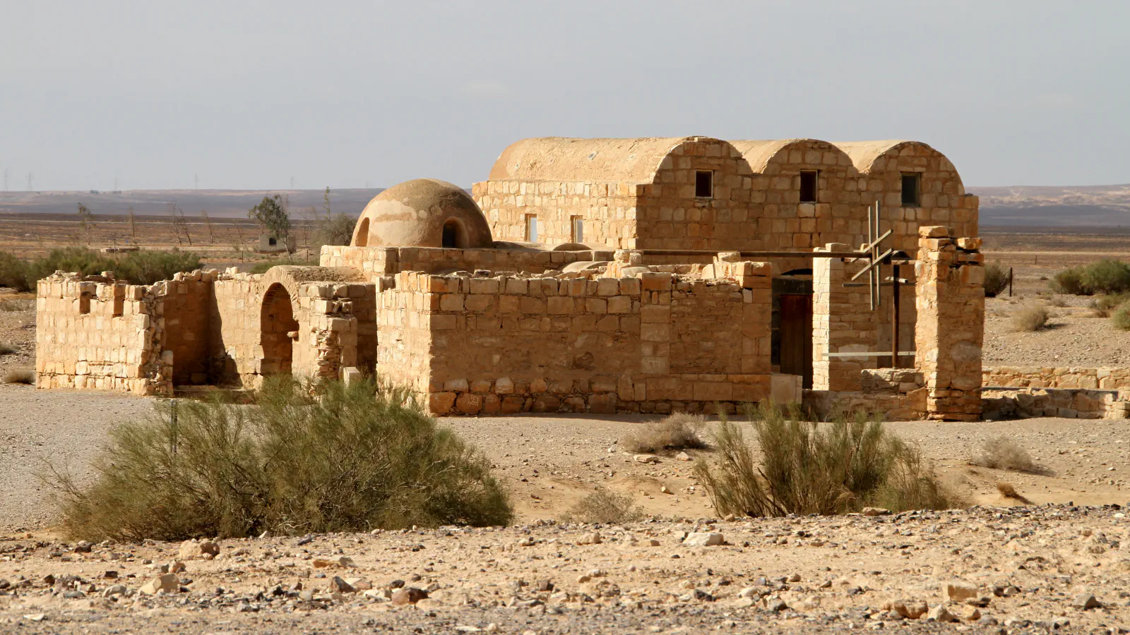
- UNESCO dates the complex to the early eighth century and places it beside seasonal Wadi Butum.[6]
A place worth remembering
Petra: the tunnel beside the Siq
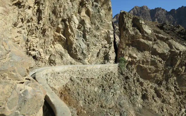
A Nabataean tunnel cut into rock formed part of the flood-diversion system by the Siq. Akasheh traces the redirected water downstream, through Wadi al-Mudhlim and on to Wadi al-Mataha. The Petra Development and Tourism Region Authority dates the entrance dam now visible to 1964 and says it was built over a larger Nabataean structure. UNESCO’s statement says the surviving water-engineering remains are at risk from flash flooding through the Siq unless the Nabataean diversion system is kept under constant monitoring, repair and maintenance.[1][2][3]
Wadi Rum: inscriptions beside waterworks
ICOMOS’s 2011 evaluation says that numerous inscriptions in the Thamudic script, found beside catchment basins for water, dams and cisterns, mark ownership. It places this in the period from the 4th century BC, when North-Arabian tribes bred camels and goats locally and practised some irrigated agriculture.[5]
Quseir Amra: paintings and a zodiac dome
The reception hall and hammam preserve figurative murals; the hot room’s dome carries a zodiac. UNESCO’s description places these painted spaces within a desert complex beside seasonal Wadi Butum.[6]
Good to know
A few clear answers before you explore.
How does Petra’s tunnel relate to the Siq?
Akasheh describes a route from Wadi al-Mudhlim toward Wadi al-Mataha that takes floodwater away from the gorge. UNESCO says the surviving water-engineering remains are vulnerable to flash flooding through the Siq if the diversion system is not maintained.[1][2]
What timespan does UNESCO give for Wadi Rum’s human record?
Its listing attributes a span of 12,000 years to human presence and interaction with the area’s natural environment.[4]
Which water-lifting feature does UNESCO mention near Quseir Amra?
UNESCO’s entry also mentions a water-lifting installation among features near the bathhouse.[6]
The WorldStamped community
Every visit becomes part of a story.
- Members with public visits
- 0
- Places with public visits or memories
- 0
- Public memories
- 0
No public visits have been counted here yet. Add this destination to your own map and choose what you want to share.
Members are counted once. Counts include only eligible public activity from profiles that allow search discovery. Private and followers-only content is excluded.