🇹🇲Country
Turkmenistan: cities that followed a river, a Parthian citadel and a town on the Amu Darya
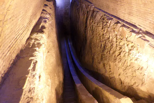
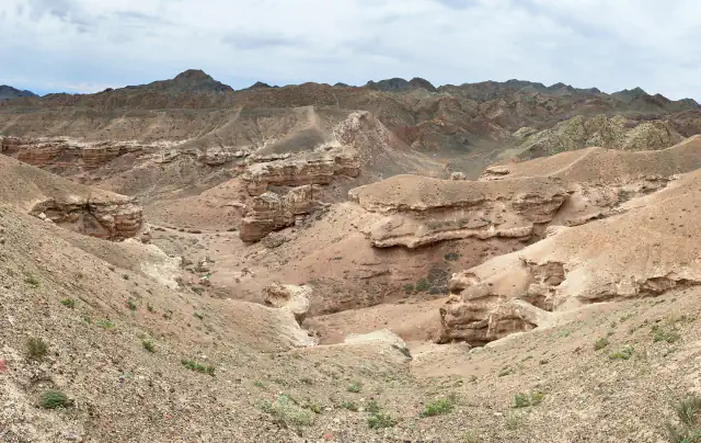
Three archaeological places in different parts of Turkmenistan: Merv in the south-east, on the Murgab delta at the edge of the Karakum Desert; Old Nisa in the foothills of the Kopet Dag, 18 km west of Ashgabat; and Kunya-Urgench in the north-west, on the left bank of the Amu Darya.
At a glance
A place worth remembering
Merv: cities placed along a moving river
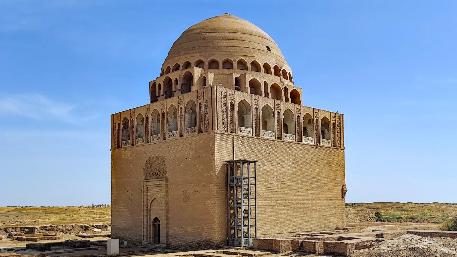
Merv is in the Mary region (velayat), on the delta that the Murgab builds where it spreads out north of Afghanistan, at the southern edge of the Karakum Desert. A 2008 Internet Archaeology article by T. Williams lists the walled cities in order: Erk Kala, founded about 500 BC; Gyaur Kala, which around 280 BC became the citadel of the Hellenistic city of Antiochia Marginana; Sultan Kala, built to the west around the 8th century AD while Gyaur Kala carried on as an industrial suburb; and the Timurid Abdullah Khan Kala, raised to the south in the 15th century. Together the ancient walled areas covered more than 1,000 ha. UNESCO explains the pattern by the river: the sites were built as the bed of the Murgab shifted gradually from east to west, and each new city rose after the old one had been abandoned and was never occupied again. UNESCO adds that Sultan Kala was walled in the 11th century and holds the Mausoleum of Sultan Sanjar, and it singles out the mausoleum’s brickwork, carved stucco and surviving wall paintings.[2][1]
Old Nisa: a ceremonial centre with a storehouse
Old and New Nisa are two mounds beside the village of Baghir, 18 km west of Ashgabat, and UNESCO lists them as the Parthian Fortresses of Nisa. The Turin archaeological centre CRAST, which has excavated at Old Nisa since 1990, writes that more than 70 years of research show it was neither a stronghold nor a fortified royal residence but a centre for ceremonies celebrating the Arsacid dynasty, even though its walls had 48 towers of unbaked brick; New Nisa was probably the city. Inside, the Round Hall has a circular space 17 m across within a square of about 30 m a side, which the mission takes to be a mausoleum, citing a fragmentary portrait identified as Mithridates I. In the south-western corner, dug since 2007, a building with more than a hundred holes in its floors for storage jars (khum) produced over forty ostraca recording the entry and exit of wine, flour and oil, and about a hundred clay sealings. According to the mission, some ostraca show that this building and the adjoining Eastern Building were in use from at least the late 2nd century BCE.[3][4]
Kunya-Urgench: monuments that survived abandonment
Kunya-Urgench is in the Dashoguz region in the north-west, on the left bank of the Amu Darya. UNESCO describes an old town whose monuments date mainly from the 11th to the 16th century: a mosque, the gates of a caravanserai, fortresses, mausoleums and a minaret it gives as 60 m high. UNESCO links the condition of the site to its history: the area was abandoned for more than three centuries and then used as a graveyard, and it has remained relatively intact. It also says the domes show how the treatment of interior surfaces developed up to the stalactite-like form known as “muqarnas”, and that the decoration includes arabesques in monochrome terracotta and brightly coloured enamel.[5]
Good to know
A few clear answers before you explore.
Why does Merv consist of several cities side by side?
UNESCO says the sites were built following the changing course of the Murgab riverbed, which shifted gradually from east to west, and that new sites were built after old ones were abandoned and never occupied again. Williams’s sequence runs from Erk Kala, founded about 500 BC, to the Timurid Abdullah Khan Kala of the 15th century.[1][2]
Was Old Nisa a fortress?
UNESCO lists the property as the Parthian Fortresses of Nisa. The Turin mission that has excavated Old Nisa since 1990 writes that decades of research show it had neither military nor strategic functions: it was a centre for ceremonies celebrating the Arsacid dynasty, and New Nisa was probably the city.[3][4]
How old are the monuments of Kunya-Urgench?
UNESCO says the monuments of the old town date mainly from the 11th to the 16th century. It adds that the area was abandoned for more than three centuries and then used as a graveyard.[5]
The WorldStamped community
Every visit becomes part of a story.
- Members with public visits
- 0
- Places with public visits or memories
- 0
- Public memories
- 0
No public visits have been counted here yet. Add this destination to your own map and choose what you want to share.
Members are counted once. Counts include only eligible public activity from profiles that allow search discovery. Private and followers-only content is excluded.