🇹🇯Country
Glacier measurements, Sarazm metalwork and Iskanderkul’s former lake
The 2018 Fedchenko study compares a 1928 map with later elevation data, while UNESCO’s Sarazm account highlights Bronze Age tin and copper work. At Iskanderkul, geomorphologists reconstruct a larger lake behind a rockslide but leave open whether its dam failed in one episode or several.
At a glance
A place worth remembering
Fedchenko Glacier: comparing a 1928 map with later measurements
Lambrecht and colleagues use a 1928 terrestrial-photogrammetry map as an early reference for comparing later GNSS observations and TanDEM-X elevation models. Their 2018 paper reports surface lowering across the glacier in multi-year comparisons.[1]
Sarazm’s Bronze Age metalworking
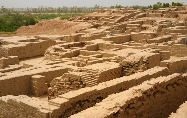
UNESCO places Sarazm between mountain cattle-rearing areas and a valley suited to farming and irrigation. For its Bronze Age record, the description highlights the working of tin and copper.[2]
Iskanderkul and the uncertain rockslide breach
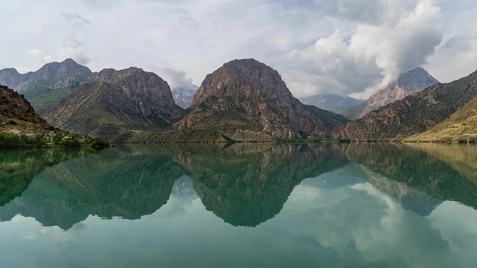
Key Biodiversity Areas describes Iskanderkul as a freshwater lake formed by damming. Emmer and Kalvoda reconstruct a larger predecessor lake behind the Kchazormech rockslide; they date the slide probably to the Middle Holocene. Their account uses the former higher shoreline and traces of the breach, but says the evidence cannot establish whether the dam failed once or through successive events.[4][3]
Good to know
A few clear answers before you explore.
What mass balance did the Fedchenko study estimate for each period?
The paper’s abstract estimates a glacier-wide mean of −0.51 ± 0.04 metres water equivalent per year for 2011–2016, and −0.27 ± 0.05 for 2000–2011.[1]
What does UNESCO highlight about Sarazm’s metalworking?
It identifies tin and copper among the metals worked at Sarazm and associates that craft record with the Bronze Age.[2]
Can the evidence show whether Iskanderkul’s dam breached once or more than once?
No. Emmer and Kalvoda explicitly leave open whether the Kchazormech rockslide dam failed in one event or through successive breaches.[4][3]
The WorldStamped community
Every visit becomes part of a story.
- Members with public visits
- 0
- Places with public visits or memories
- 0
- Public memories
- 0
No public visits have been counted here yet. Add this destination to your own map and choose what you want to share.
Members are counted once. Counts include only eligible public activity from profiles that allow search discovery. Private and followers-only content is excluded.