🇰🇬Country
Kyrgyzstan: a lake without an outlet, caravanserais and a sacred mountain
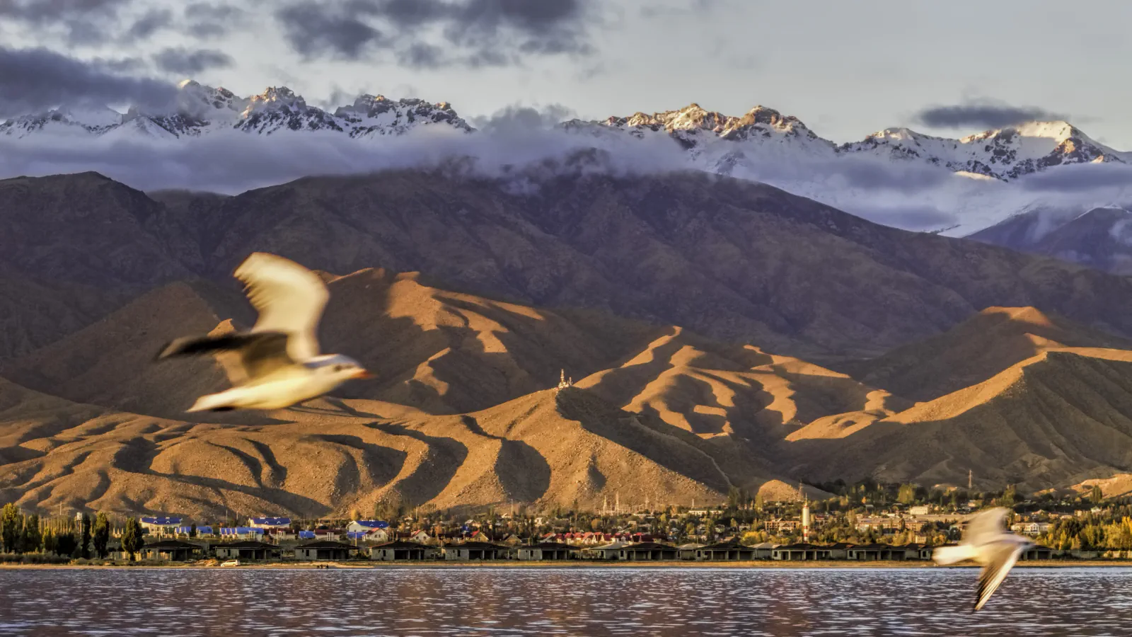
Issyk-Kul has no river outflow, and a study compares annual-average levels over 1980–2012. Tash-Rabat and Manakeldy served distinct routes across the Inner Tien Shan. Above Osh, Sulaiman-Too has petroglyph caves and places of worship still in use.
At a glance
- Issyk-Kul water levels
- Annual mean in the 2017 study: 1,606.18 m (1998 low) and 1,607.02 m (2011 high).[1][5][2]
- Naryn caravanserais
- Tash-Rabat has one large and 19 small domes; Manakeldy is a 64 × 64 m mud-brick and pakhsa structure.[3]
- Sulaiman-Too
- UNESCO indexes 101 petroglyph sites; 17 places of worship remain in use.[4]
A place worth remembering
Issyk-Kul: where the Chu turned away
Ramsar’s information sheet describes Issyk-Kul as a lake without an outlet that receives its water mainly from rivers. The FAO fisheries profile gives the lake as 178 by 60.1 km, with a maximum depth of 668 m; its salinity figure of 5.968 g/L is attributed to Kadyrov (1986). The 2017 study includes evaporation in its lake-level model. It contrasts that with an earlier drainage pattern: before a late-Pleistocene tectonic shift, the Chu crossed the lake’s western boundary in both directions; afterward it turned away less than five kilometres before reaching the basin and now runs toward Boom Canyon. In the study’s 1980–2012 annual-average series, the low was 1,606.18 m in 1998 and the high 1,607.02 m in 2011. The authors link those fluctuations to climate change and water use in the catchment.[1][5][2]
Two building forms on the Inner Tien Shan
The Kyrgyz Tentative List submission describes Tash-Rabat as a square slate-built caravanserai whose rooms are covered by one large dome and 19 small ones, and Manakeldy as a mud-brick and pakhsa structure with a courtyard at its centre.[3]
An inventory of rock art and worship
UNESCO’s property record lists 101 indexed petroglyph sites and, separately, 17 places of worship still in use.[4]
Good to know
A few clear answers before you explore.
How does water move through Issyk-Kul?
Ramsar describes a lake without an outlet that receives water mainly from rivers. The 2017 study includes evaporation in its lake-level model; the FAO profile reports salinity of 5.968 g/L, citing Kadyrov (1986).[1][5][2]
Which caravan routes did Tash-Rabat and Manakeldy serve?
Kyrgyzstan’s Tentative List submission links Tash-Rabat with Kashgar-bound travel through the Tash-Rabat and Torugart passes. It places Manakeldy on the route from the Fergana Valley across the Inner Tien Shan toward Issyk-Kul.[3]
What is recorded at Sulaiman-Too?
UNESCO’s property record counts 101 petroglyph sites and 17 worship places still in use. Its five peaks and slopes also contain caves with petroglyphs and two largely reconstructed mosques from the 16th century.[4]
The WorldStamped community
Every visit becomes part of a story.
- Members with public visits
- 0
- Places with public visits or memories
- 0
- Public memories
- 0
No public visits have been counted here yet. Add this destination to your own map and choose what you want to share.
Members are counted once. Counts include only eligible public activity from profiles that allow search discovery. Private and followers-only content is excluded.