🇳🇦Country
Namibia’s field records: beetle behaviour, rock-art counts and Etosha floods
A Lund laboratory study of Namib beetles, changing survey boundaries at Twyfelfontein and Etosha’s dated flood record show how field evidence describes arid landscapes.
At a glance
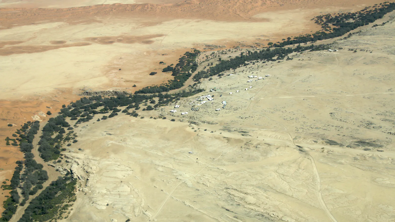
- Gobabeb monitoring
- Daily weather and Kuiseb flow records date from 1962; beetle population dynamics records date from 1968[1]
- Twyfelfontein survey
- 2,075 identifiable images on 235 surfaces in the 2006 dossier’s own survey[3]
- Etosha floodwater
- In the 2016 Tentative List account, exceptional floods form a lake usually no deeper than one metre[4]
A place worth remembering
Gobabeb: fog collection is more than a surface question
The Gobabeb research brochure dates its daily weather and Kuiseb flow records to 1962, and beetle population dynamics to 1968. Separately, a 2010 Lund University laboratory experiment tested four Namib darkling beetles in artificial fog: only Onymacris unguicularis took up the head-standing fog-basking stance. Water-collection efficiency differed only slightly between beetles with smooth and bumpy wing covers; the authors conclude that fog-basking behaviour matters more than surface structure for this species.[1][2]
Twyfelfontein: the count depends on the survey boundary
The 2006 nomination dossier records 2,075 identifiable images across 235 painted and engraved surfaces in its own survey. It distinguishes that count from Scherz’s 1975 total of 2,404 engravings, which covered sites across the valley, including the buffer zone. The dossier says a figure of about 5,000, suggested by Coulson and Campbell (2001), lacks systematic documentation. Those totals describe different scopes and should not be read as successive counts of the same inventory.[3]
Etosha Pan: a dry basin can hold floodwater
Namibia’s 2016 Tentative List submission describes Etosha as usually dry and saline; in exceptionally wet years, river inflow forms a shallow lake, typically no more than a metre deep. The EIS catalogue abstract for a 2010 flamingo article reports separate floods in 2007/08 and again in 2008/09. The abstract says the pan filled with floodwater to a depth not seen since 1976, citing a personal communication; water stayed until the next rains, so fledged flamingo chicks survived. This is a record of particular past seasons, not a statement about current conditions.[4][5]
Good to know
A few clear answers before you explore.
What did the four-species fog experiment find?
In the fog chamber, only Onymacris unguicularis took up the head-standing fog-basking stance. Water-collection efficiency differed only slightly between beetles with smooth and bumpy wing covers, and the authors conclude that fog-basking behaviour matters more than surface structure for this species. The finding is limited to the tested species and setup.[2]
Why do Twyfelfontein’s published image totals differ?
The 2006 dossier counts 2,075 identifiable images on 235 surveyed surfaces. Scherz’s 2,404 engravings covered more sites across the valley, including its buffer zone; the dossier says the larger estimate of about 5,000 (Coulson and Campbell, 2001) was not based on systematic documentation. The surveys did not use the same boundary.[3]
When has Etosha held floodwater into the following rains?
The EIS abstract recounts flooding in 2007/08, then again in 2008/09. It says the pan filled with floodwater to a depth not seen since 1976 and stayed until the next rains, so fledged flamingo chicks survived. Namibia’s 2016 Tentative List submission separately describes the pan as usually dry and saline.[5][4]
The WorldStamped community
Every visit becomes part of a story.
- Members with public visits
- 0
- Places with public visits or memories
- 0
- Public memories
- 0
No public visits have been counted here yet. Add this destination to your own map and choose what you want to share.
Members are counted once. Counts include only eligible public activity from profiles that allow search discovery. Private and followers-only content is excluded.