🇹🇿Country
Tanzania: footprints, ice maps and weathered walls
At Laetoli, researchers use trackways to estimate stature. A map series compares Kilimanjaro’s glacier area from 1912 to 2011, while a 2001 ICOMOS report links rain with weakened masonry at Kilwa. The evidence takes different forms: footprint measurements, mapped ice and exposed walls.
At a glance
A place worth remembering
Laetoli: stature estimated from the S1 trackway
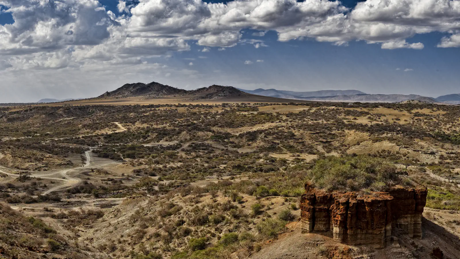
A 2015 Laetoli survey formed part of an assessment for a proposed field museum. It uncovered hominin tracks at Site S, about 150 m south of Site G. From the S1 trackway, the study estimates a stature of about 165 cm—more than 20 cm above its estimate for G2. These values are inferred from footprints, not direct body measurements.[1]
Kibo: glacier area mapped across 1912–2011
The 2013 study by Cullen and co-authors combined two historical maps with nine satellite images to reconstruct eight epochs from 1912 to 2011. Its abstract reports mapped glacier area falling from 11.40 km² to 1.76 km², about an 85% loss. This is a dated map series, not a measure of current ice.[2]
Kilwa: how rain affects roofless masonry
Good to know
A few clear answers before you explore.
What was found during the Laetoli survey for a proposed museum?
In 2015, researchers dug 62 test pits measuring 2 × 2 m; they found 14 hominin tracks in three pits at Site S.[1]
How did the Kilimanjaro study divide its ice cover?
The authors grouped ice mapped in 1912 into three zones using elevation, slope and aspect.[2]
What roof repair does the 2001 ICOMOS report record?
It reports that Neville Chittick resealed a mosque roof in the 1960s using a mortar of lime, clay and sand.[4]
The WorldStamped community
Every visit becomes part of a story.
- Members with public visits
- 0
- Places with public visits or memories
- 0
- Public memories
- 0
No public visits have been counted here yet. Add this destination to your own map and choose what you want to share.
Members are counted once. Counts include only eligible public activity from profiles that allow search discovery. Private and followers-only content is excluded.