🇮🇶Country
Iraq: the account tablets of Uruk, the marshes of the Ahwar and the Abbasid capital of Samarra
Uruk and the Ahwar marshes lie in southern Iraq, Samarra on the Tigris north of Baghdad. Each is described here through something the sources counted or dated: clay tablets, wintering waterbirds and a capital used from 836 to 892. The rest of Iraq is left out.
At a glance
A place worth remembering
Uruk: bookkeeping on clay at the edge of a marsh
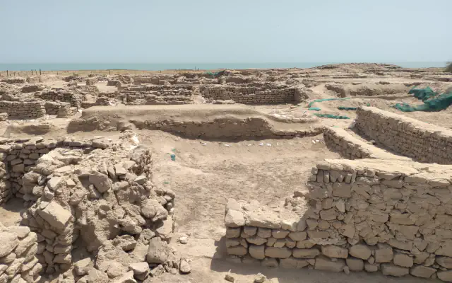
UNESCO describes Uruk, Ur and Eridu as the three archaeological components of the Ahwar property: Sumerian cities that developed in southern Mesopotamia between the 4th and 3rd millennium BC, at first on the margins of freshwater marshes. Today their mud-brick ruins stand in an arid plain, dominated by the remains of ziggurats. What the Uruk excavations brought to light is largely bookkeeping. A proposal to encode proto-cuneiform in Unicode, written by Michael Everson and Laura F. Hawkins for the Berkeley Script Encoding Initiative (8 May 2017), reports that nearly 5,000 tablets and fragments were discovered during the German Archaeological Institute’s excavations at Uruk, and dates the periods in which the script is attested to roughly 3500–3000 BC (Uruk V, IV and III). Of the nearly 4,900 texts from the Uruk III period, a count that includes Jemdet Nasr, 4,167 are administrative and 703 are lexical.[1][2]
The Ahwar: four wetlands on a migration route
UNESCO’s property record lists four wetland components in the Ahwar: the Huwaizah, Central, East Hammar and West Hammar Marshes, covering more than 210,000 ha. It describes the East Hammar as a place where seawater pushes inland with the tides, so that marine fish species use it to reproduce, and the West Hammar as the last stopover for millions of migrating birds before the Arabian Desert. According to its integrity statement, more than 197 species of migrating waterbirds settle on the property and spend the winter there. The record names the Basra reed warbler and the Iraq babbler as endemic birds and counts the marbled teal and the Euphrates soft-shell turtle among the threatened species, and it dates the main marshes as they are known today to about 3,000 years ago. The Ramsar Sites Information Service lists the Hammar Marsh as a Ramsar site of 180,000 ha designated on 7 April 2014, notes that it extended up to 4,500 square kilometres in seasonal floods, and names an invasive non-native fish, the redbelly tilapia (Tilapia zillii), as the dominant one.[1][3]
Samarra: a capital used from 836 to 892
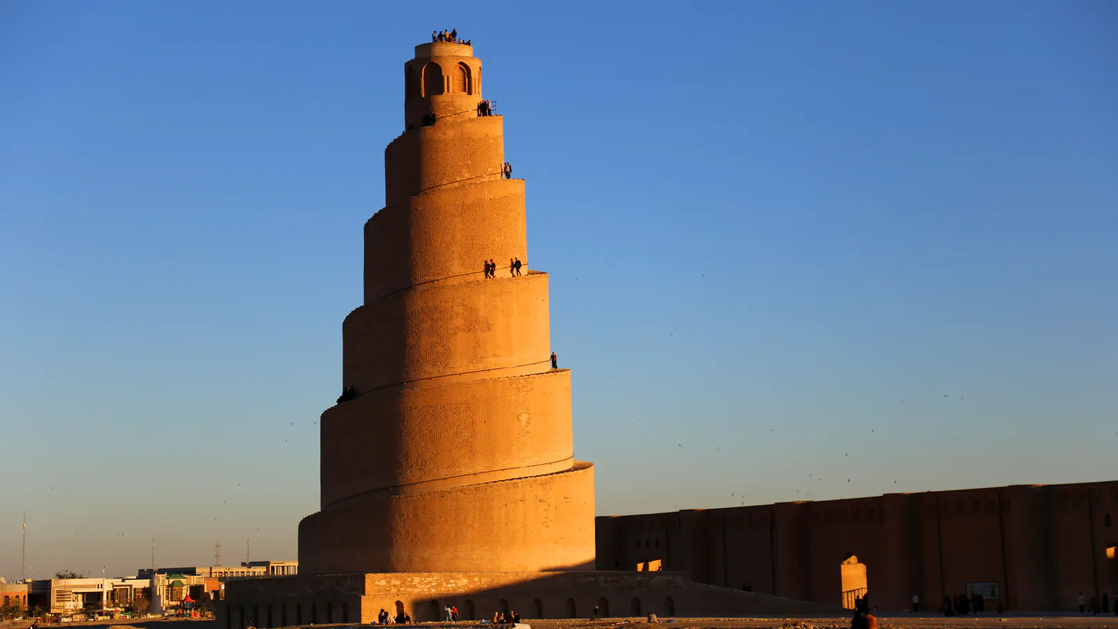
UNESCO places Samarra on both banks of the Tigris, 130 km north of Baghdad. The Metropolitan Museum’s essay by Rebecca Lindsey gives the dates: the city was founded in 836, when the caliph al-Mu‘tasim moved his capital there from Baghdad, and the court abandoned it in 892. Because the capital lasted so briefly, the essay says, objects from the site can be dated closely and used as a basis for comparison with art elsewhere. Two products are tied to Samarra in both texts. One is carved stucco, called the Samarra style by UNESCO and the “beveled style” by the Museum (repeating, probably vegetal motifs with beveled edges). The other is lustre, a ceramic finish with metallic glazes that UNESCO says imitated vessels of gold and silver. UNESCO states that 80% of the site remains to be excavated; the Museum adds that the city was built mostly of mud-brick and baked brick rather than stone, and that Ernst Herzfeld’s team dug at nineteen locations in 1911 and 1913.[4][5]
Good to know
A few clear answers before you explore.
What is proto-cuneiform?
The Unicode proposal calls it the earliest form of cuneiform: signs pressed with a reed stylus into soft clay, which emerged towards the end of the fourth millennium BC in ancient Babylonia, the southern part of modern Iraq. UNESCO likewise writes that the cities of Uruk, Ur and Eridu saw the origin of writing. The Uruk tablets counted in the proposal are mostly administrative, with a smaller group of lexical texts.[2][1]
Why do the ruins of Uruk stand in a desert?
UNESCO says that between 5000 and 3000 BC the sea reached its maximum extent some 200 km inland of today’s coastline, with marshes stretching further inland. From 2000 BC the sea withdrew southwards, the climate became more arid and the ancient marshes dried up, which UNESCO links to the decline of the great cities of southern Mesopotamia. New marshes formed to the south-east.[1]
How can finds from Samarra be dated so closely?
Samarra was a capital for a short span, from 836 to 892, so the Metropolitan Museum’s essay says its objects can be dated closely. The same essay reports that the classifications Ernst Herzfeld made of Samarran art are still used.[5]
The WorldStamped community
Every visit becomes part of a story.
- Members with public visits
- 0
- Places with public visits or memories
- 0
- Public memories
- 0
No public visits have been counted here yet. Add this destination to your own map and choose what you want to share.
Members are counted once. Counts include only eligible public activity from profiles that allow search discovery. Private and followers-only content is excluded.