🇸🇻Country
El Salvador: an eruption dated to 431 CE, a village under ash and turtles in the mangroves
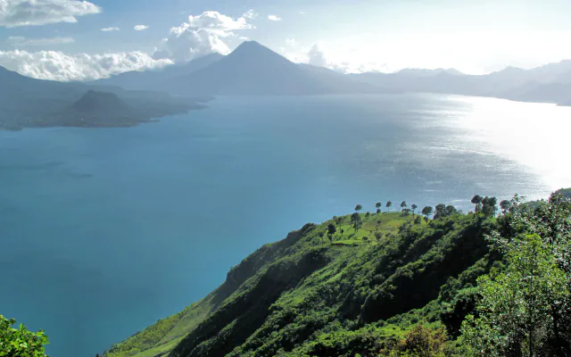
Lake Ilopango fills a volcanic caldera east of San Salvador. A 2020 study dates the Tierra Blanca Joven eruption to 431 ± 2 CE. At Joya de Cerén, volcanic deposits preserved a farming settlement; in 2008, fishers helped researchers locate hawksbill turtle nesting within Jiquilisco Bay’s mangroves.
At a glance
A place worth remembering
Ilopango: an eruption dated from a tree stump and Greenland ice
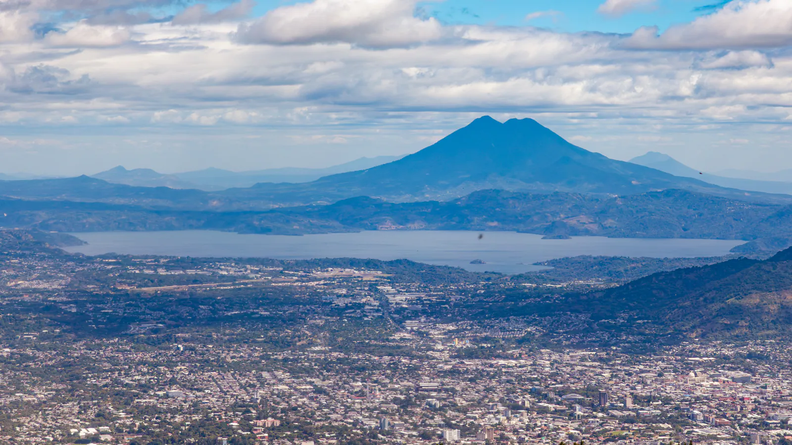
NASA’s Earth Observatory places Lake Ilopango about 16 km east of San Salvador. The 1879–80 eruption formed a lava dome in the lake; its exposed top is now the Islas Quemadas. A much larger event, Tierra Blanca Joven, was dated by Smith, Costa and colleagues in a 2020 PNAS paper. Their date of 431 ± 2 CE comes from identifying the eruption’s ash in an ice core from north-east Greenland, more than 7,000 km away, where glass shards match the deposits chemically. Radiocarbon dates from growth rings of a slightly charred mahogany stump, found 25 km north-north-west of the volcano, agree, giving a 95.4% range of 425–440 CE. The team estimates 37–82 km³ dense-rock equivalent and models an eruption column reaching about 45 km. They also argue that a proposed date of 539–540 CE conflicts with archaeological material found beneath the ash at Chalchuapa.[1][2]
Joya de Cerén: a farming village under ash
Joya de Cerén’s plant record reaches beyond staple crops: UNESCO notes fields of young and mature maize, an herb garden and an agave garden, and fruit trees such as guava and cacao. Its excavated buildings also show varied construction: rammed earth in public buildings and the sweat bath, wattle and daub in houses.[3]
Jiquilisco Bay: hawksbills in the mangroves
Jiquilisco Bay in Usulután was designated a Ramsar wetland in 2005. Ramsar lists the surrounding beaches as nesting sites for four sea turtle species, including the hawksbill (Eretmochelys imbricata). In 2008, fishers’ knowledge led researchers to nesting sites for the eastern Pacific hawksbill population inside mangrove estuaries. A 2021 study estimates that over 70% of roughly 700 nesting females in this population use shores within two estuaries: Jiquilisco Bay and Estero Padre Ramos in Nicaragua. The team interviewed 68 fishers in 2016 and analysed stable isotopes from 392 turtles, 228 sampled in Jiquilisco; immature animals entered these estuaries at about 37 cm curved carapace length.[4][5]
Good to know
A few clear answers before you explore.
Where is Lake Ilopango, and what are the Islas Quemadas?
NASA’s Earth Observatory describes a blue-green lake that fills the caldera of Ilopango volcano, about 16 km east of San Salvador, with the city of Ilopango on its western shore. The Islas Quemadas are small islets in the middle of the lake: they mark the top of the lava dome that grew there in the 1879–80 eruption.[2]
What was the land around Joya de Cerén like before the village was founded?
UNESCO says the area remained unused after ash from Ilopango covered it, until weathering created fertile soil. A village later formed there and was buried in a separate eruption from Loma Caldera around 600 CE.[3]
How do researchers follow adult hawksbills at sea around Jiquilisco Bay?
Gaos and colleagues used satellite tags on 12 adult females at six locations over June 2008–July 2010. Ten turtles used inshore waterways; four of those foraged in Jiquilisco–Xiriualtique Bay.[6]
The WorldStamped community
Every visit becomes part of a story.
- Members with public visits
- 0
- Places with public visits or memories
- 0
- Public memories
- 0
No public visits have been counted here yet. Add this destination to your own map and choose what you want to share.
Members are counted once. Counts include only eligible public activity from profiles that allow search discovery. Private and followers-only content is excluded.