🇨🇷Country
Arenal, Guanacaste and Diquís: three Costa Rican stories
From Arenal in the north to the Diquís delta in the south, this page follows three distinct places: the 42-year open-vent phase that began with a deadly 1968 blast, Guanacaste’s protected ecological range from the Pacific to Caribbean-side lowlands, and two alignments of stone spheres preserved at Finca 6.
At a glance
A place worth remembering
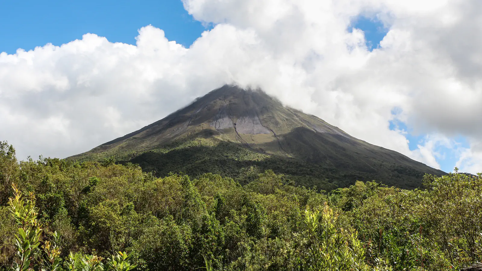
Arenal: a 42-year open-vent phase
The 2022 review divides Arenal’s open-vent eruption into seven phases from 1968 to October 2010. It traces the episode’s start to 29 July 1968, when a westward blast destroyed two villages and killed 78 people. The authors estimate a dense-rock-equivalent output of 757 ± 77 million m³ of lava and tephra.[1]
Guanacaste: from Pacific waters to Caribbean-side lowlands
The Sectors page describes the Área de Conservación Guanacaste (ACG) as one continuous 163,000-hectare biogeographic block, linking Pacific marine areas, volcanic terrain and lowlands on the Caribbean side. A separate Research page marked November 2012 describes 120,000 terrestrial and 43,000 marine hectares.[2][3]
Diquís: sphere alignments at Finca 6 and their wider story
At Finca 6, the National Museum’s visitor leaflet describes two sphere alignments partly buried by flood deposits: one of three spheres and one of two. A 2022 museum article reports more than 400 spheres found across Costa Rica. The museum had recovered over 150 from private hands, 80% of them through handovers.[4][5]
Good to know
A few clear answers before you explore.
What does the 42-year figure measure?
It spans the open-vent activity from July 1968 to October 2010, following the initial blast. The review divides that interval into seven phases and says activity began declining in 2000.[1]
How do local communities contribute to research in Guanacaste?
The ACG Research page marked November 2012 describes local community members trained as parataxonomists, who generate baseline scientific information. It also mentions marine studies in Santa Elena Bay, including coral and fish research.[3]
What does the museum’s 400-plus figure cover?
The 2022 article’s figure is nationwide: it counts spheres registered at archaeological sites, recovered from private holdings and still awaiting recovery through administrative or court proceedings.[5]
The WorldStamped community
Every visit becomes part of a story.
- Members with public visits
- 0
- Places with public visits or memories
- 0
- Public memories
- 0
No public visits have been counted here yet. Add this destination to your own map and choose what you want to share.
Members are counted once. Counts include only eligible public activity from profiles that allow search discovery. Private and followers-only content is excluded.