🇩🇲Country
Boiling Lake, Fort Shirley and the whales of the west coast: three places on Dominica
Dominica is a volcanic island in the Lesser Antilles, not to be confused with the Dominican Republic. In the central and southern highlands, Boiling Lake is a crater lake that has drained and refilled several times in documented history. On the north-west coast, Fort Shirley is an 18th-century garrison that stands inside a volcanic crater. Off the west coast, the Dominica Sperm Whale Project followed whale families from 2005 to 2018, and a 2024 study analysed 8,719 click sequences recorded from one clan.
At a glance
A place worth remembering
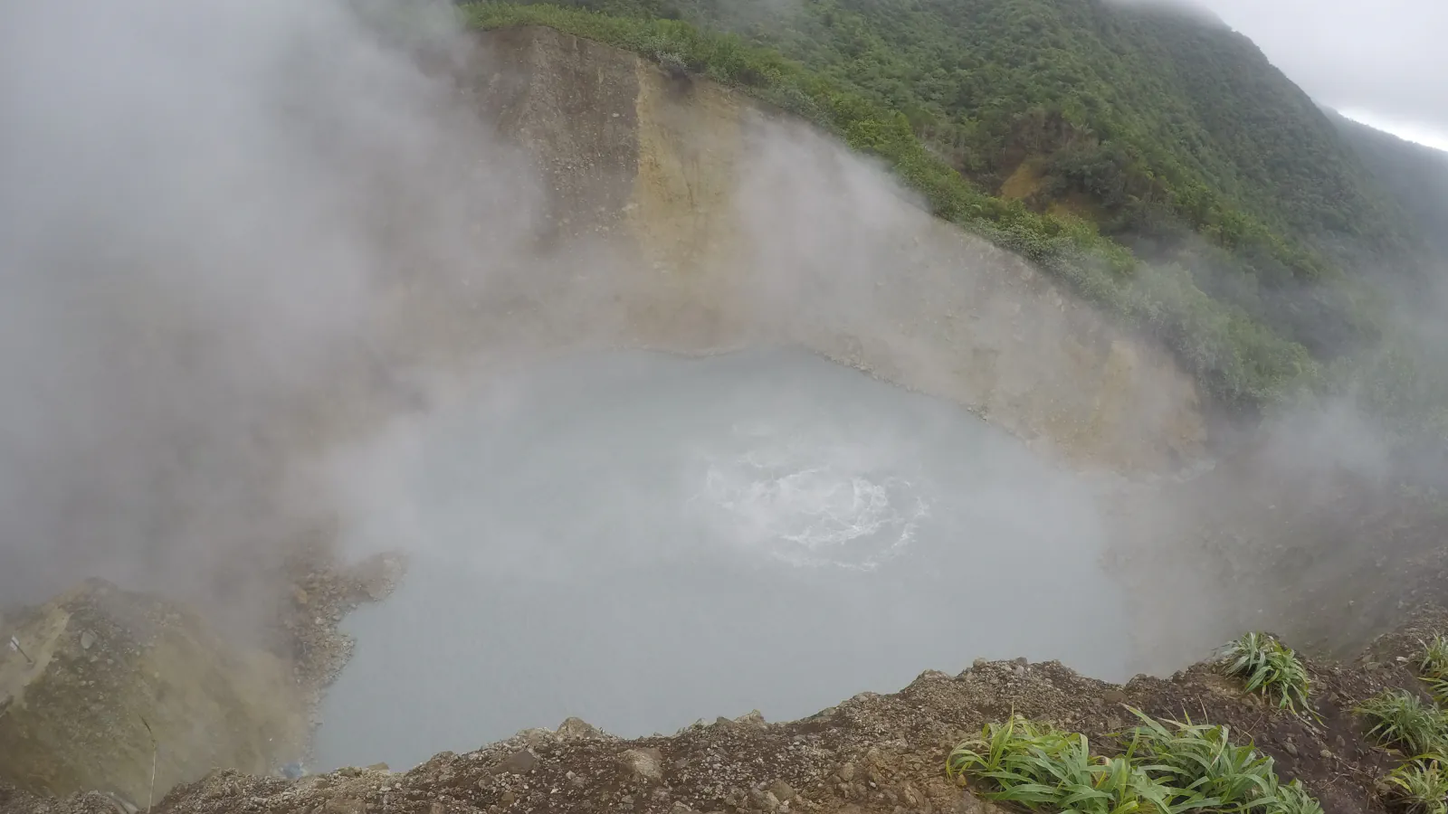
Boiling Lake: a crater lake that drains and refills
Morne Trois Pitons National Park covers 6,857 hectares of Dominica’s central and southern highlands, roughly 9 per cent of the country’s land area, according to UNESCO. Its description names the Valley of Desolation (Grand Soufrière) and the Boiling Lake among the park’s volcanic features. A 2019 paper by Erouscilla Joseph of the Seismic Research Centre at the University of the West Indies and colleagues describes the lake as a crater lake of about 50 by 60 metres and 12 to 15 metres deep. Over some 200 years of documented history, the authors write, it has shown at least eight periods of instability, some with rapid draining and refilling. In December 2004 its level dropped by roughly 8 to 10 metres and normal activity returned in late April 2005. The latest episode they report was noted on 8 November 2016 and lasted about six weeks.[1][2]
Fort Shirley: a garrison inside a crater
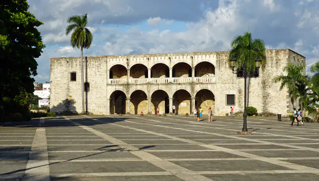
Fort Shirley stands in Cabrits National Park on the north-west coast, above Prince Rupert’s Bay and Douglas Bay. Dominica’s submission for UNESCO’s Tentative List says construction began in 1765 and that most of the work was done in the 1790s. It adds that the French made additions during their occupation from 1778 to 1784, that the garrison was abandoned in 1854, and that the fort sits within a volcanic crater which the British used in its defence. Karibiodiv, a Caribbean biodiversity website, gives the same years for the original construction, the French enlargement and the abandonment. According to the submission, restoration began in 1982, and the park was established in 1986 under the National Parks Act of 1975.[3][4]
The sea off the west coast: sperm whale families and their clicks
Sperm whales communicate in sequences of clicks called codas. The Dominica Sperm Whale Project, based in Roseau, followed social units of female and immature whales across about 2,000 square kilometres along the whole western coast of the island between 2005 and 2018, under research permits from the Fisheries Division of the Government of Dominica. A 2024 paper in Nature Communications drew on the project’s annotated recordings of the Eastern Caribbean 1 (EC-1) clan, 8,719 codas in 21 types, and reported that codas have contextual and combinatorial structure. The authors name two new features, rubato and ornamentation. National Geographic reported in 2021 that Shane Gero, the project’s founder, had identified hundreds of individuals from two large clans off Dominica.[5][6]
Good to know
A few clear answers before you explore.
How often has Boiling Lake drained?
A 2019 paper counts at least eight periods of instability in about 200 years of documented history, some with rapid draining and refilling. In December 2004 the level fell by roughly 8 to 10 metres, and normal activity resumed in late April 2005. The latest episode it reports, noted on 8 November 2016, lasted about six weeks and appeared to be linked to a small mud-rich explosion.[2]
When was Fort Shirley built, and when was it abandoned?
Dominica’s Tentative List submission says construction began in 1765, with most of the work done in the 1790s and French additions between 1778 and 1784. It says the garrison was abandoned in 1854 and stayed with the British Admiralty until 1901, when it passed to the colonial government.[3]
Where were the sperm whales in the 2024 study recorded?
The project’s social units were followed over about 2,000 square kilometres along the whole western coast of Dominica between 2005 and 2018. The analysis used recordings of one clan, EC-1: 8,719 codas of 21 types.[5]
The WorldStamped community
Every visit becomes part of a story.
- Members with public visits
- 0
- Places with public visits or memories
- 0
- Public memories
- 0
No public visits have been counted here yet. Add this destination to your own map and choose what you want to share.
Members are counted once. Counts include only eligible public activity from profiles that allow search discovery. Private and followers-only content is excluded.