🇨🇦Country
Canada: wood cut in 1021, the Bay of Fundy’s resonating tides and a canal built for steamboats
L'Anse aux Meadows in Newfoundland and Labrador, the Bay of Fundy between New Brunswick and Nova Scotia, and the Rideau Canal in Ontario all lie in eastern Canada. Tree rings and radiocarbon fix the year Norse sailors cut wood at L'Anse aux Meadows; the shape and rhythm of the bay explain Fundy’s tides; and the 202 km canal between Ottawa and Kingston was built with locks sized for steamboats. They sit in the east of a country that stretches far to the west and north, so they are not a portrait of all Canada.
At a glance
A place worth remembering
L'Anse aux Meadows: wood cut in 1021
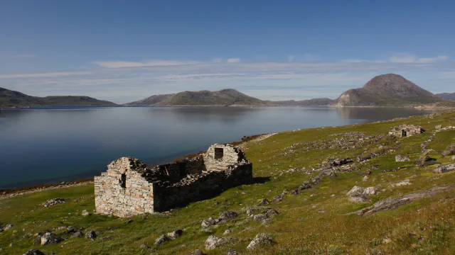
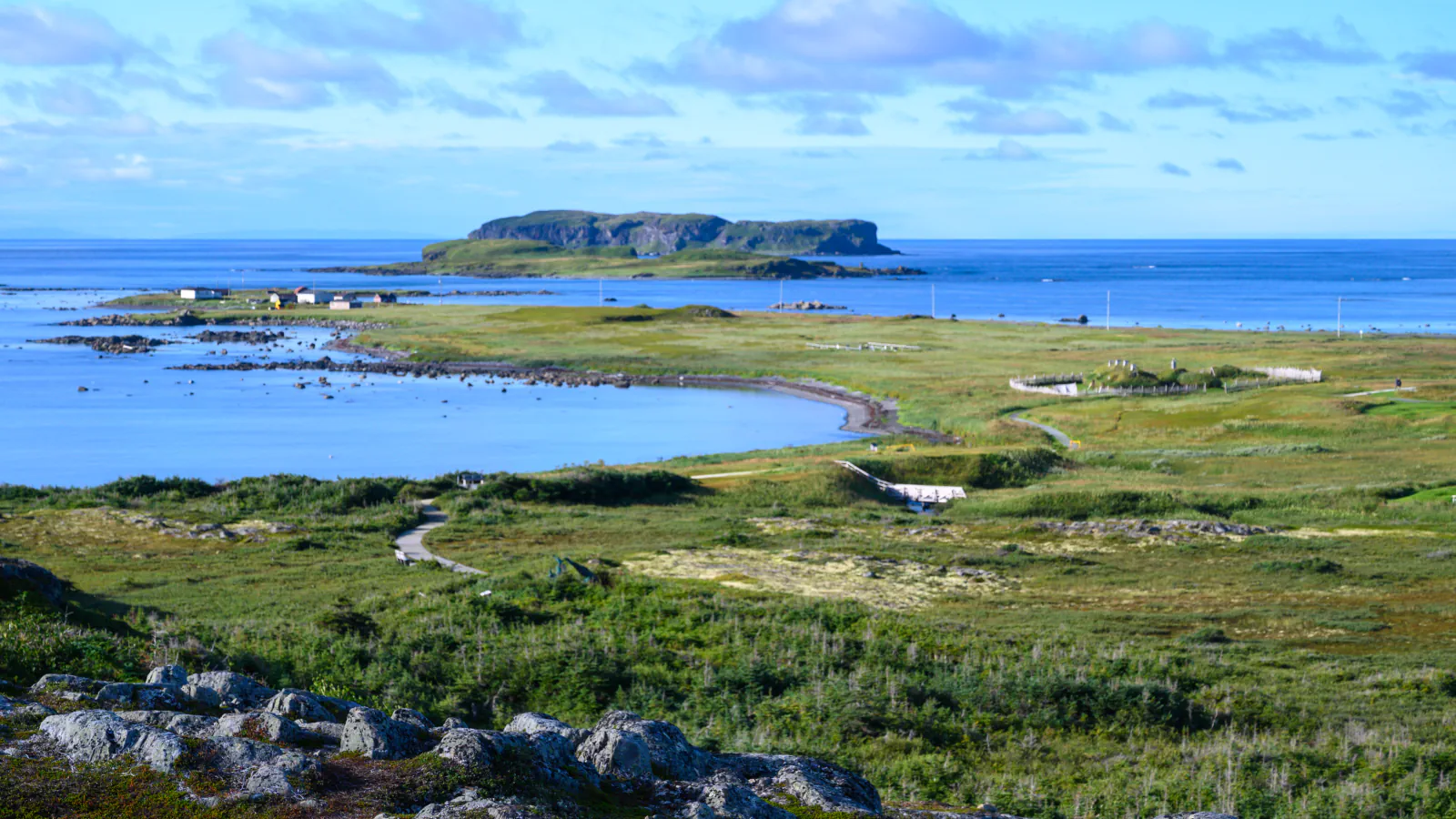
L'Anse aux Meadows lies at the tip of the Great Northern Peninsula in Newfoundland. Helge Ingstad and Anne Stine Ingstad found the site in 1960, and their excavations, followed by Parks Canada’s, uncovered the remains of eight buildings. The walls and roofs were sod over a frame, in the style used in Iceland and Greenland around the year 1000. Iron slag and a large number of iron boat nails or rivets are what led archaeologists to identify the camp as Norse, and traces of bog iron together with evidence of carpentry suggest that boat repair was an important activity. Parks Canada dates the Norse base to about AD 1000. A 2021 study in Nature gave a sharper date. It examined three pieces of wood from the Norse deposit, each cut with metal tools and each from a different tree, and used the sudden rise in atmospheric radiocarbon recorded in tree rings of AD 993 as a marker. All three gave a cutting year of AD 1021. That is the year the trees were cut, not a measure of how long the Norse stayed.[1][2][3][4]
Bay of Fundy: tides set by the bay’s shape and swing
The Bay of Fundy runs between New Brunswick and Nova Scotia and is about 400 km long, according to Burntcoat Head Park, which the Municipality of East Hants operates on the Nova Scotia side. Fisheries and Oceans Canada gives 16 metres as the tidal range on Canada’s East Coast and names two places that have the shape and resonance behind such tides: the Bay of Fundy (Minas Basin) and Ungava Bay (Leaf Basin). Its explanation has two parts. The bays are V-shaped, so water entering from the open ocean is funnelled into less and less space and piles up. And the water has a natural rocking motion, taking about 13 hours to go from the mouth to the head and back, while the Atlantic tide arrives every 12 hours and 25 minutes and keeps the rocking going. Parks Canada says that at Alma Beach in Fundy National Park, New Brunswick, the water rises by up to 12 m or more.[5][8][6][7]
Rideau Canal: locks sized for steamboats
The Rideau Canal runs 202 km from Ottawa to Kingston in Ontario, joining the Rideau River, a chain of small lakes and the Cataraqui River, which reaches Lake Ontario at Kingston. It was planned after the War of 1812 as a safer supply route than the St. Lawrence. Lieutenant-Colonel John By of the Royal Engineers arrived in 1826, work began in 1827, and the design was a series of dams and locks. The first plan called for locks that small barges could use. By argued for much larger ones and won approval for locks at least 134 feet long and 33 feet wide (about 41 by 10 m), big enough for the steamboats then appearing on the Great Lakes. Most locks and dams were built of stone quarried on site, and the canal opened in the summer of 1832. By 1849 locks had tamed the St. Lawrence rapids and commercial shippers switched to that more direct route; today the Rideau serves recreation.[9][10]
Good to know
A few clear answers before you explore.
How is the Norse wood at L'Anse aux Meadows dated?
Researchers matched radiocarbon in the outer growth rings of three wood pieces with the sharp rise recorded in AD 993; each piece gives a cutting year of AD 1021. Parks Canada’s own heritage description says the base was set up about AD 1000.[4][2]
Why are the Bay of Fundy’s tides so large?
Fisheries and Oceans Canada points to the bay’s V shape, which funnels incoming water, and to a natural rocking motion of about 13 hours that the Atlantic tide, arriving every 12 hours and 25 minutes, keeps reinforcing.[5]
Why were the Rideau Canal’s locks built so large?
The first plan was for locks that small barges could use. Lieutenant-Colonel John By persuaded his superiors to authorize locks at least 134 feet long and 33 feet wide, large enough for the steamboats appearing on the Great Lakes.[9]
The WorldStamped community
Every visit becomes part of a story.
- Members with public visits
- 0
- Places with public visits or memories
- 0
- Public memories
- 0
No public visits have been counted here yet. Add this destination to your own map and choose what you want to share.
Members are counted once. Counts include only eligible public activity from profiles that allow search discovery. Private and followers-only content is excluded.