🇺🇸Country
Yellowstone’s underground heat and Everglades sheet flow
Yellowstone’s fractured volcanic rock heats water underground; in Shark River Slough, shallow water moves as a slow sheet through vegetation.
At a glance
- Yellowstone groundwater
- The NPS reports groundwater temperatures above 400°F while pressure keeps the water liquid below ground.[1]
- Shark River Slough
- Overall mean in Shark River Slough during the wet-season study (July 1999–July 2003): 1.15 cm/s.[2]
- Norris Geyser Basin drill hole
- 459°F (237°C) at 1,087 feet down: the highest temperature recorded in a Yellowstone hydrothermal area.[1]
A place worth remembering
Pressure beneath Yellowstone
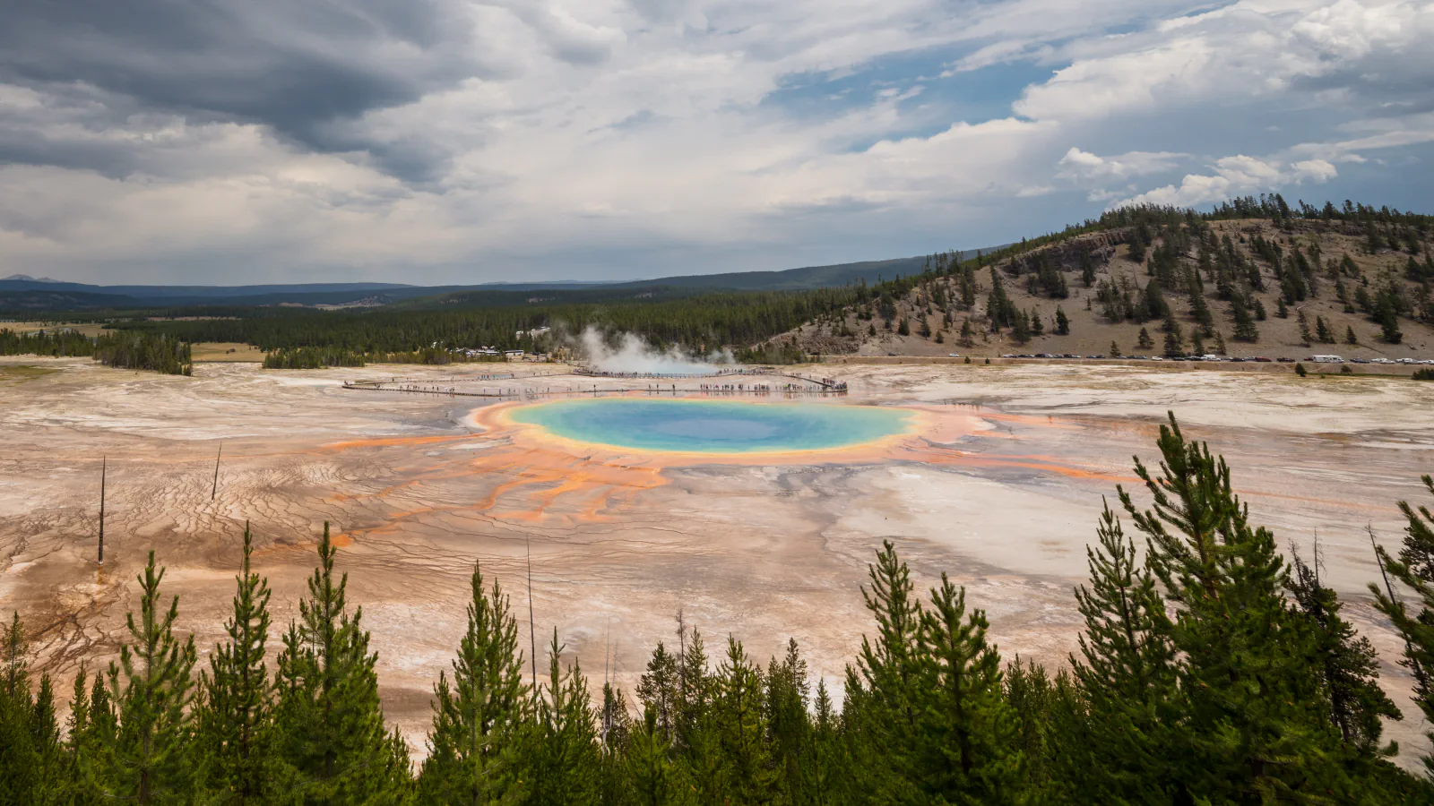
At Yellowstone, pressure from overlying water keeps highly heated groundwater liquid below the surface. As it moves through fractured rhyolite, it dissolves silica; the mineral can precipitate in cracks and at the surface.[1]
A measured sheet flow in Shark River Slough
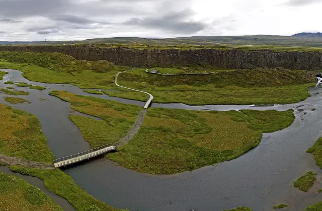
In Shark River Slough, the USGS links slow sheet flow to the land’s slight gradient and resistance from aquatic and emergent plants. The report cautions that the mean velocities, though representative of similarly vegetated areas in Everglades National Park, should not be assumed typical of compartmentalized regions such as the Water Conservation Areas.[2]
Norris Geyser Basin: the hottest drill-hole reading
The NPS ranks Norris first among Yellowstone’s active hydrothermal areas for both heat and change. A scientific drill hole there reached 237°C at 1,087 feet (about 331 m), which the park cites as its highest measured hydrothermal temperature. The park links the basin’s heat and frequent change to its position where three major faults meet.[1]
Good to know
A few clear answers before you explore.
What flow speeds did the USGS record in Shark River Slough?
At four monitored Shark River Slough sites, daily means ranged from 0.20 to 5.16 cm/s. The report puts the combined mean at 1.15 cm/s; observations were made in wet-season intervals spanning July 1999–July 2003.[2]
How can Yellowstone’s heated groundwater remain liquid below the surface?
The NPS explains that pressure from the overlying water can keep it liquid despite the high temperature.[1]
Where was Yellowstone’s highest hydrothermal temperature recorded?
The NPS reports it in a research borehole in Norris Geyser Basin, at a depth of 1,087 feet (459°F, 237°C).[1]
The WorldStamped community
Every visit becomes part of a story.
- Members with public visits
- 0
- Places with public visits or memories
- 0
- Public memories
- 0
No public visits have been counted here yet. Add this destination to your own map and choose what you want to share.
Members are counted once. Counts include only eligible public activity from profiles that allow search discovery. Private and followers-only content is excluded.