🇩🇿Country
Algeria: Timgad’s growing grid, Ghardaïa’s flood channels and Tassili’s disputed rock-art dates
Timgad expanded beyond its Roman plan, Ghardaïa’s garden channels divide floodwater, and researchers still debate the dates of Tassili n’Ajjer’s rock art.
At a glance
- Timgad
- Trajan founded Thamugadi in AD 100; it was uninhabited after the 8th century (UNESCO)[1]
- Ghardaïa floodworks
- Remini’s 2018 account describes 36 gates at Tissanbadh routing floodwater into a five-gallery system.[3]
- Round Head paintings
- Soukopova (2011) considers the 10th millennium BP a plausible date for Round Head paintings but notes the debate.[5]
A place worth remembering
Timgad: a Roman town that grew beyond its original plan
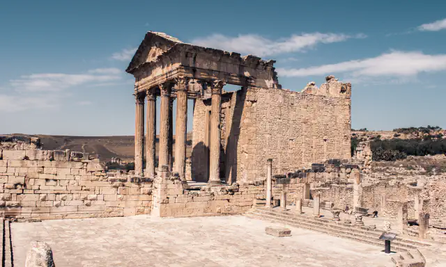
Trajan founded Thamugadi, now known as Timgad, in AD 100. By the mid-second century, the town had spread beyond its original grid, and most of the major public buildings in the newer quarters date from the Severan period. The site retains paved streets, 14 baths and house mosaics. A Byzantine fort was added south of the town in 539 using Roman masonry; habitation ended after the eighth century. The long period without new building, together with almost continual excavations from 1881 to 1960, helped keep later structures off the remains.[1]
Ghardaïa: a flood system built around gardens
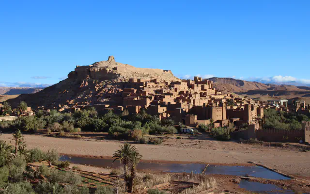
UNESCO lists five fortified settlements with palm groves in the M’Zab valley: El-Atteuf, Bounoura, Melika, Ghardaïa and Beni-Isguen. The agency says they were founded between 1012 and 1350. Remini’s 2018 study focuses on Ghardaïa’s eastern palm grove and draws on about 15 field missions made from 2006 to 2018. It calls the floodwater Maa Essiel. The 20 m Tissanbadh dam, with 36 sliding gates, directs water toward the gardens through underground galleries. Six underground galleries were planned. Remini’s 2018 account says five were operating; the branch to Chaabet de Toundja remained unfinished after 40 years of work, with more than 40% of its route excavated. Thirty-eight shafts ventilated the galleries. Inside the grove, narrow lanes also carry water during floods. Each garden receives its share through a koua opening in its wall, about 30 cm high; its width varies with the plot’s area and the owner’s contribution. A 5 cm rafsa sill beside the opening helps raise water for entry and estimate irrigation flow. The paper says floodwater irrigation happens only once or twice a year, and that several structures have disappeared.[2][3]
Tassili n’Ajjer: several rock-art styles, debated dates
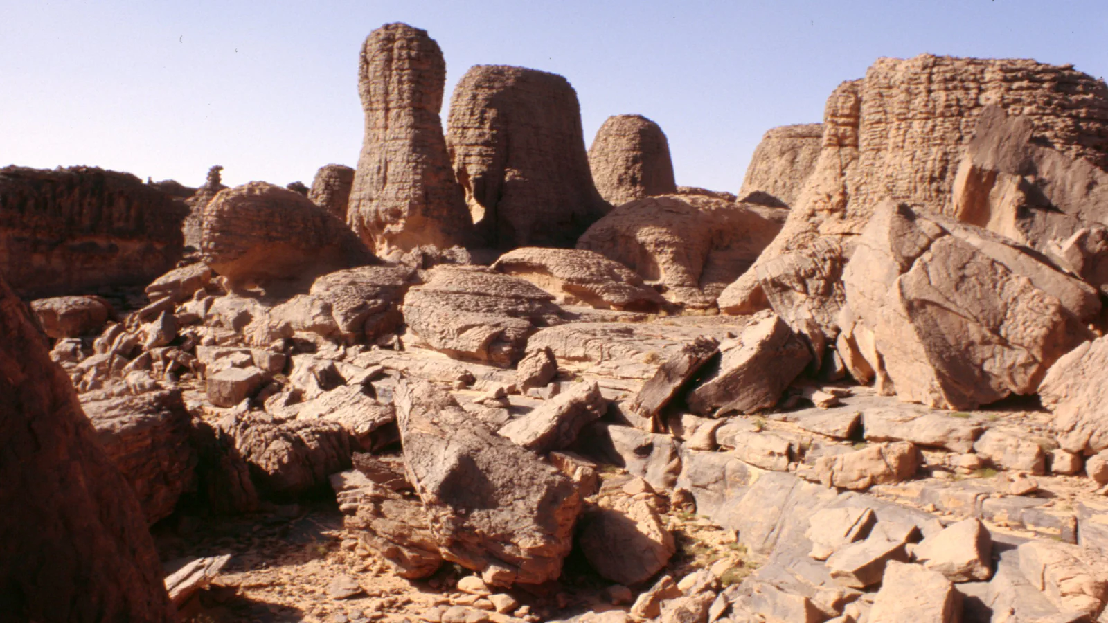
UNESCO places this 72,000 km² plateau in southeast Algeria. The agency calls its eroded sandstone formations “rock forests” and puts the number of identified works above 15,000, spanning drawings and engravings. In a 2011 study, Jitka Soukopova distinguishes Round Head paintings from Bubaline engravings and later Pastoral imagery. She considers it likely that Round Head paintings date to the tenth millennium BP, but notes that researchers disagree. Proposed dates for Bubaline engravings also differ, from the tenth to the eighth millennium BP. Within the Round Head style’s animal imagery, antelope and mouflon account for 90%. Elephants, hippos and rhinoceroses are among the animals she relates to evidence of a wetter climate. She places Pastoral images of domesticated animals in the eighth to seventh millennia BP. UNESCO reads the Round Head representations as possibly reflecting “magic-religious” practices roughly 10,000 years old; later images include horses and camels being tamed.[4][5]
Good to know
A few clear answers before you explore.
How does floodwater reach Ghardaïa’s gardens?
Remini’s 2018 account traces it from the Tissanbadh dam through five galleries to separate parts of the eastern grove. Lanes carry water during floods, and each plot receives its share through an opening in its garden wall. The author says floodwater irrigation happens only once or twice a year.[3]
How are the Tassili rock paintings dated?
There is no settled date for the Round Head paintings. Soukopova’s 2011 study treats the tenth millennium BP as likely but reports continuing disagreement. She also gives a range of proposals for Bubaline engravings, from the tenth to the eighth millennium BP; BP means “before present”.[5]
Why are later buildings largely absent from Timgad?
UNESCO links this to the town’s abandonment after the eighth century and almost continual archaeological excavations from 1881 to 1960, which helped prevent newer structures from being built over the Roman remains.[1]
The WorldStamped community
Every visit becomes part of a story.
- Members with public visits
- 0
- Places with public visits or memories
- 0
- Public memories
- 0
No public visits have been counted here yet. Add this destination to your own map and choose what you want to share.
Members are counted once. Counts include only eligible public activity from profiles that allow search discovery. Private and followers-only content is excluded.