🇹🇳Country
Tunisia: Dougga, Carthage and Chott el Jerid
At Dougga, UNESCO links the inscription record to deciphering Libyan; at Carthage, a 1979 account distinguishes the Punic harbours by function; Ramsar notes fossil aquifers near Chott el Jerid.
At a glance
A place worth remembering
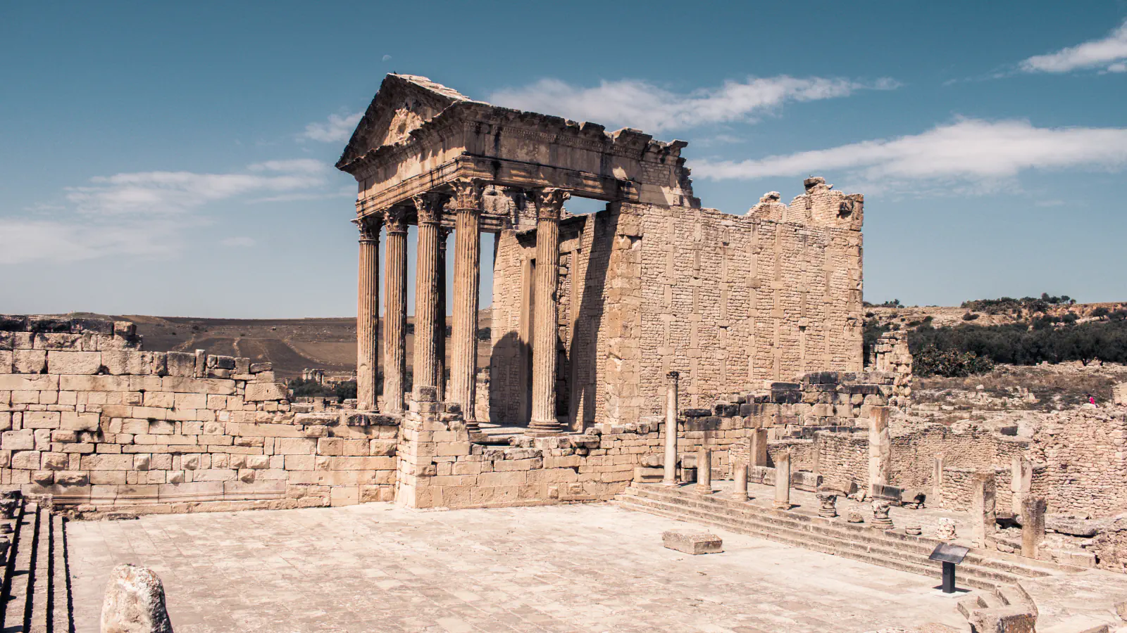
Dougga’s inscriptions and the Libyan language
UNESCO records more than 2,000 inscriptions at Dougga and credits the collection with helping decipher the Libyan language.[1]
The Punic harbour basins
A 1979 booklet from the Kelsey Museum describes Carthage’s late-Punic harbours as a rectangular commercial basin and a circular military basin. The account says the two harbours were still in use in the 7th century AD.[2]
Chott el Jerid: a salt basin that sits above two deep aquifers
Ramsar’s 2007 overview describes Chott el Jerid as a saline depression and identifies fossil-water aquifers as a source for nearby oases. In Tunisia’s 2008 Tentative List submission, two aquifers lie beneath the basin at about 600 m and 2,500 m; the submission says there is generally little water at the surface, though it can be flooded in years of heavy rain in the south.[3][4]
Good to know
A few clear answers before you explore.
What does UNESCO say Dougga’s inscriptions reveal?
Its record says the large epigraphic collection has contributed to deciphering Libyan and understanding Numidian social and municipal life.[1]
Which of Carthage’s Punic harbours was circular?
The Kelsey Museum’s 1979 booklet identifies the circular basin as the military harbour and the rectangular one as commercial.[2]
What does the 2008 Tunisian submission report beneath Chott el Jerid?
It describes two deep aquifers, at roughly 600 m and 2,500 m below the saline basin, and says little water usually lies at the surface.[4]
The WorldStamped community
Every visit becomes part of a story.
- Members with public visits
- 0
- Places with public visits or memories
- 0
- Public memories
- 0
No public visits have been counted here yet. Add this destination to your own map and choose what you want to share.
Members are counted once. Counts include only eligible public activity from profiles that allow search discovery. Private and followers-only content is excluded.