🇦🇱Country
Albania: Butrint’s marshes, hillside towns and a lake shared with Montenegro
This page follows four places in Albania: Butrint on the south-west coast, the hillside towns of Berat and Gjirokastra, and Lake Shkodra in the north-west. What links them is how settlements answer to water and slope. They are a sample, not a summary of the whole country.
At a glance
A place worth remembering
Butrint: the city and the marsh
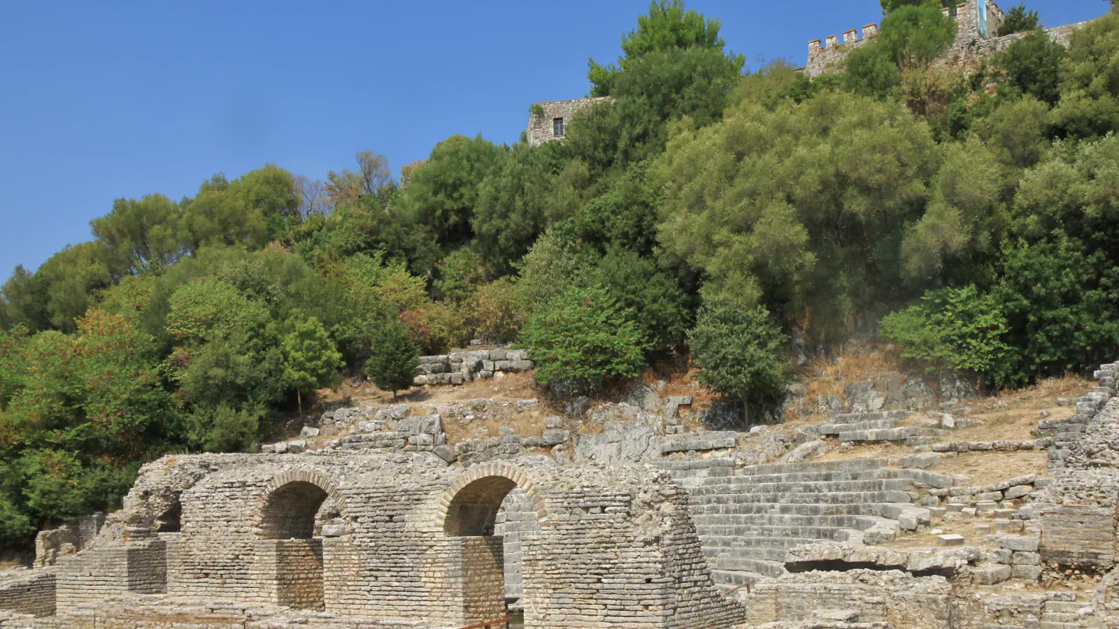
Butrint lies in the south-west, about 20 kilometres from Sarandë, in Vlorë County. Its old core is a small hill surrounded by Lake Butrint and the Vivari Channel. UNESCO’s summary describes Butrint becoming a Roman colony in 44 BC and growing over reclaimed marshland, mainly south of the channel, where an aqueduct was built. The city was abandoned in the late Middle Ages after marshes formed in the area. In the early nineteenth century Ali Pasha added a fortress at the mouth of the Vivari Channel. The Ramsar sheet calls Lake Butrint a tectonic lagoon of 1,600 hectares, and Albania’s official tourism website names Greek, Roman, Byzantine and Venetian roots on the site.[1][2][3]
Berat and Gjirokastra: towns built up the slope
Berat lies on both banks of the Osum river below its castle hill, and its old town includes the Mangalem and Gorica quarters and the Castle District. The official tourism website explains the nickname “one window over another” by houses stepped up the slope, mostly horizontal in plan and lit from all sides; UNESCO dates the surviving examples mainly to the late eighteenth and nineteenth centuries. Gjirokastra stands in the Drino valley, on the slopes of Mount Gjerë. UNESCO describes turreted houses (kule) from the seventeenth century and more elaborate ones from the early nineteenth, while the tourism site notes stone-tiled roofs and a town built up the mountain to save farmland.[4][5][6][7]
Lake Shkodra and the Buna: a lake shared with Montenegro
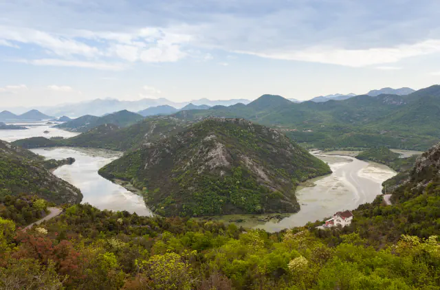
In the north-west, the Ramsar site Lake Shkodra and River Buna covers 49,562 hectares in the Malësia e Madhe and Shkodër area. Its Ramsar sheet describes the eastern side of a lake shared with Montenegro, together with the River Buna and its near-natural delta on the Adriatic coast. A connection with the River Drin lets fish migrate between the Adriatic, Lake Shkodra and the lakes Ohrid and Prespa, and the site hosts about 25,000 wintering waterbirds. The sheet also notes Shkodra’s cultural heritage of more than 2,000 years, including Illyrian walls.[8]
Good to know
A few clear answers before you explore.
Why was Butrint abandoned?
UNESCO’s summary says the city was abandoned in the late Middle Ages after marshes formed in the area. It adds that this change in the natural environment is why the site holds valuable evidence of ancient and medieval civilizations.[1]
What does Berat’s nickname “one window over another” refer to?
Albania’s official tourism website links it to houses stepped up the mountain slope, mostly horizontal in plan and lit from all sides, with white facades and windows climbing the hillsides of the old town.[5]
How is Lake Shkodra connected to other lakes?
Through the River Drin. The Ramsar sheet says the connection lets fish migrate between the Adriatic, Lake Shkodra and the lakes Ohrid and Prespa.[8]
The WorldStamped community
Every visit becomes part of a story.
- Members with public visits
- 0
- Places with public visits or memories
- 0
- Public memories
- 0
No public visits have been counted here yet. Add this destination to your own map and choose what you want to share.
Members are counted once. Counts include only eligible public activity from profiles that allow search discovery. Private and followers-only content is excluded.