🇲🇪Country
Skadar Lake, Durmitor and Kotor’s bay landscape
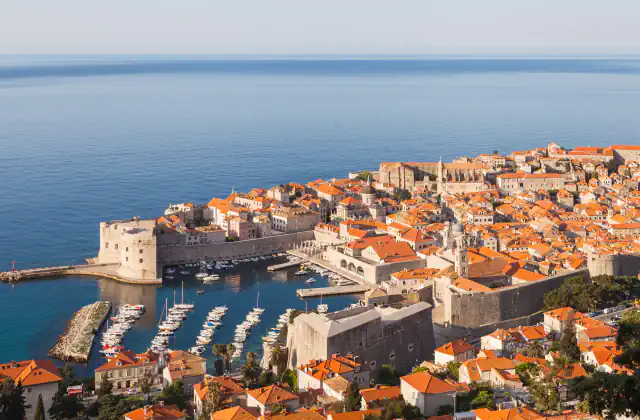
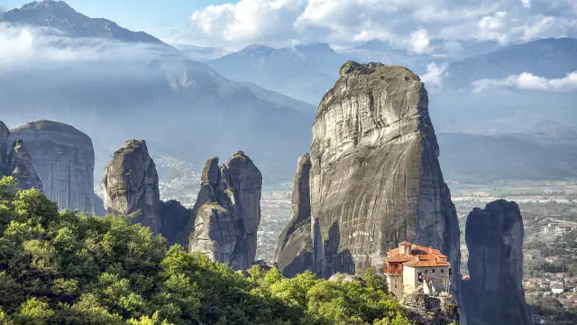
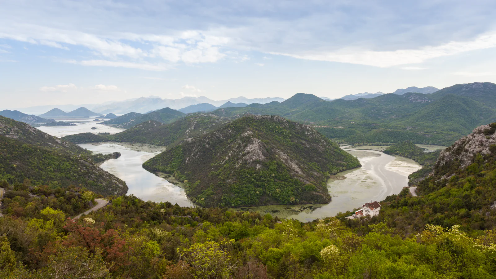
On Skadar Lake, a regular passenger-and-cargo service ran from 1885 to 1981. Durmitor combines a glacier-shaped limestone landscape with medieval stećci and Tara Valley monasteries; at the inner end of Kotor Bay, the old town lies between the sea, the Škurd and Sveti Ivan hill.
At a glance
A place worth remembering
A lake route displaced by land links
The steamer Žabljak began Skadar Lake’s regular passenger-and-cargo service in 1885. Road and rail links built across the lake in the 1960s gradually reduced boat transport; the park account says regular service ended in 1981, 96 years after it began, with the liquidation of the Galeb shipping company.[1]
Durmitor’s landscape and medieval traces
Kotor between sea, river and hill
Good to know
A few clear answers before you explore.
How did regular passenger-and-cargo travel on Skadar Lake end?
The steamer Žabljak started the service in 1885. The park account says road and rail links across the lake in the 1960s gradually reduced boat transport; the line ended in 1981.[1]
What medieval remains does the Durmitor park account record?
It records stećci necropolises from the 14th and 15th centuries and three Tara Valley monasteries built between the 15th and 17th centuries.[3]
What does UNESCO report about the 1979 earthquake in Kotor?
UNESCO’s account links the 1979 quake to serious damage to monuments, naming the town walls and four Romanesque churches. It adds that the town has since been restored, mostly with UNESCO’s support.[4]
The WorldStamped community
Every visit becomes part of a story.
- Members with public visits
- 0
- Places with public visits or memories
- 0
- Public memories
- 0
No public visits have been counted here yet. Add this destination to your own map and choose what you want to share.
Members are counted once. Counts include only eligible public activity from profiles that allow search discovery. Private and followers-only content is excluded.