🇻🇪Country
Venezuela: tepuis, earthen building and art on a modern campus
In Canaima, tepui formations cover about 65% of a 3-million-hectare park. Coro’s earthen building methods remain in use, while the Caracas campus brings art into its architecture.
At a glance
A place worth remembering
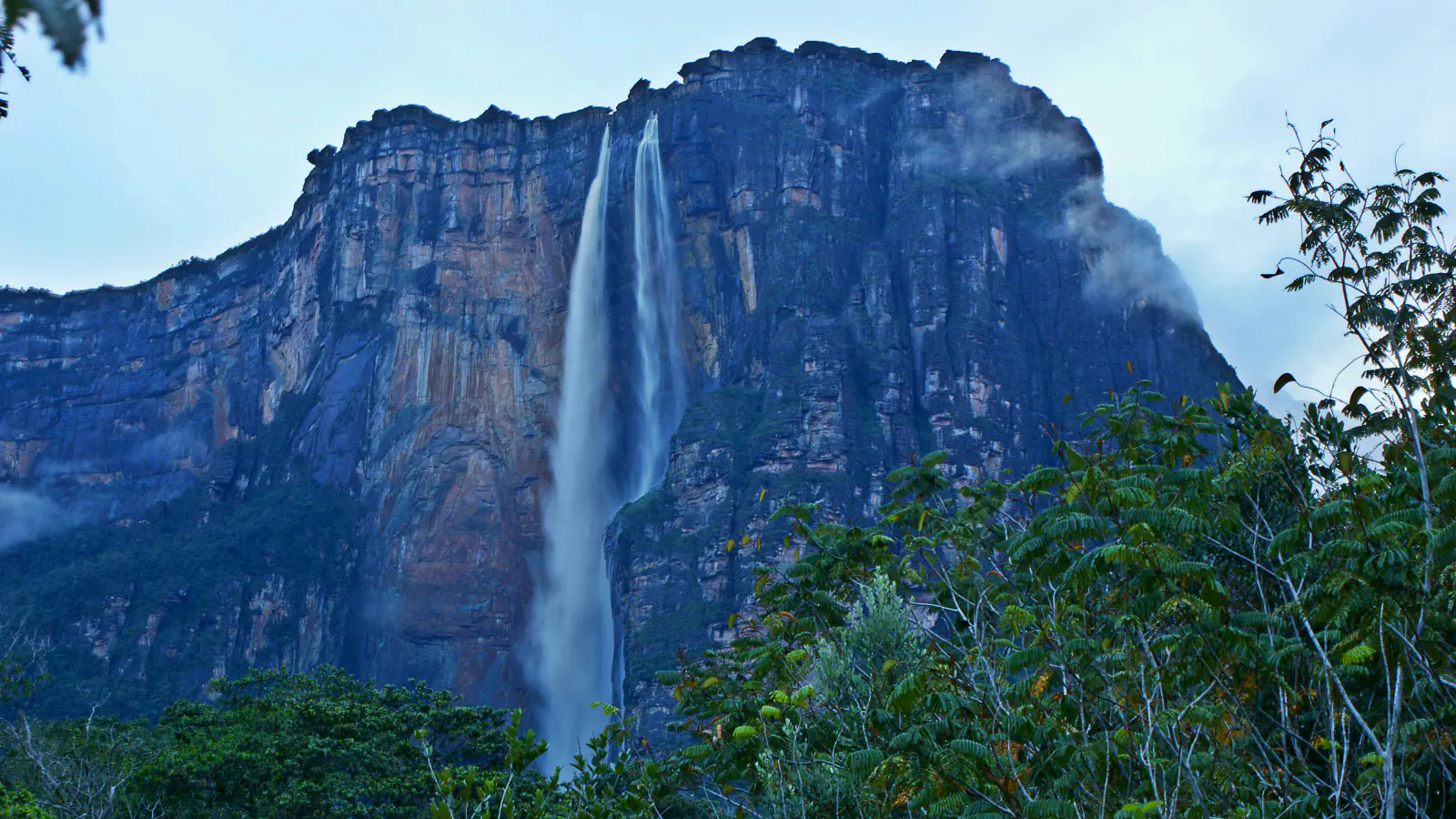
Canaima’s tepuis shape a vast landscape
UNESCO describes Canaima’s tepuis as table-mountain formations of geological interest. They cover about 65% of the park’s 3 million hectares, alongside the steep cliffs and waterfalls that define its terrain.[1]
Coro and La Vela keep earthen building in practice
UNESCO’s entry covers the historic urban areas of Coro and La Vela together, a total of 18.40 hectares. It also notes that earthen methods remain in use there among active craftspeople.[2]
Art is part of Caracas’s university campus
Built between 1940 and 1960 to Carlos Raúl Villanueva’s design, the campus brings visual art into its architectural ensemble; Alexander Calder’s “Clouds” are in the Aula Magna. UNESCO highlights patios and latticed windows in describing how the design accommodates a tropical climate.[3]
Good to know
A few clear answers before you explore.
How much of Canaima is covered by tepuis?
UNESCO puts the share at roughly 65% of the park’s 3 million hectares.[1]
Are Coro’s earthen building methods still practised?
Yes. UNESCO reports that active craftspeople still use these methods.[2]
Why is Coro on the List of World Heritage in Danger?
UNESCO says the site was inscribed on the Danger list in 2005, after unusual rains at the end of 2004 and the start of 2005 damaged Coro and La Vela.[2]
The WorldStamped community
Every visit becomes part of a story.
- Members with public visits
- 0
- Places with public visits or memories
- 0
- Public memories
- 0
No public visits have been counted here yet. Add this destination to your own map and choose what you want to share.
Members are counted once. Counts include only eligible public activity from profiles that allow search discovery. Private and followers-only content is excluded.