🇻🇺Country
Vanuatu: Roi Mata’s sites, a caldera and sand drawings
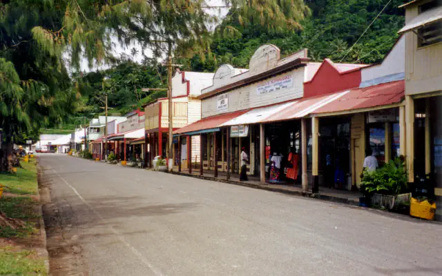
UNESCO groups three places across Efate, Lelepa and Artok in a property linked to Roi Mata. On Tanna, VMGD describes Yasur within the Yenkahe caldera; UNESCO also records sand drawing as a way to communicate and retain knowledge.
At a glance
A place worth remembering
Three places linked to Roi Mata
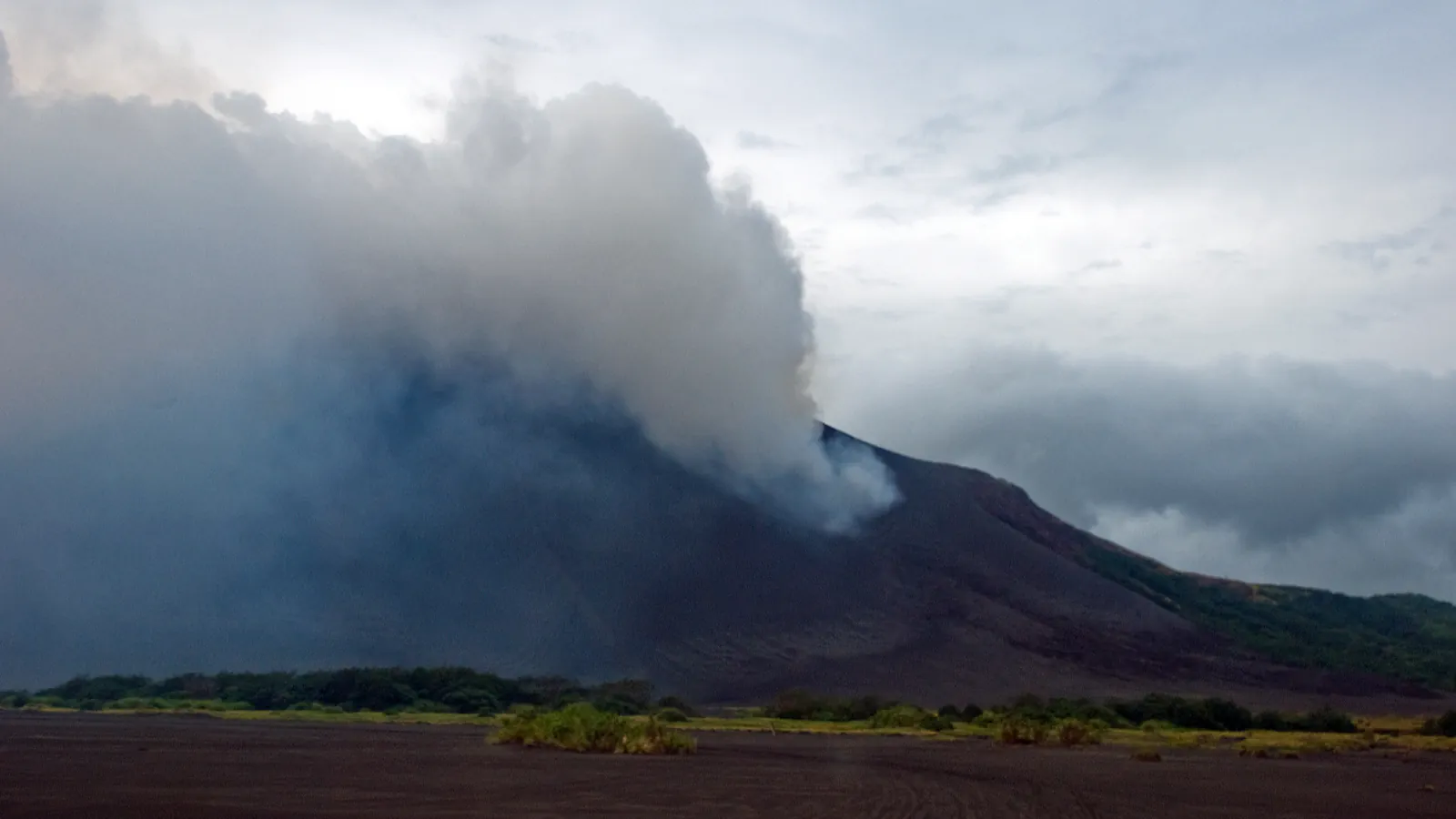
Yasur inside the Yenkahe caldera
VMGD places Yasur within the larger Yenkahe caldera. A fact sheet updated in July 2023 describes the depression as horseshoe-shaped and about 4 km across; it attributes more than 20 m of uplift at Port Resolution Harbour and Yenkahe hill over 300 years to earthquakes in the area.[2]
Sand drawing as a way to carry knowledge
UNESCO’s intangible-heritage record describes sand drawing as a way of communicating across some 80 language groups and as a memory aid for rituals, myths and oral information. It places the practice on Vanuatu’s central and northern islands.[3]
Good to know
A few clear answers before you explore.
What did Garanger’s team find on Retoka?
The Vanuatu Tourism Office account says the 1967 excavation found 47 skeletons.[4]
What does VMGD report earthquakes have raised around Yenkahe?
Its July 2023 fact sheet says Port Resolution Harbour and Yenkahe hill rose by more than 20 m over the past 300 years.[2]
How does UNESCO describe the role of sand drawing?
The record presents it as a way to communicate and preserve knowledge, associated with about 80 language groups in central and northern Vanuatu.[3]
The WorldStamped community
Every visit becomes part of a story.
- Members with public visits
- 0
- Places with public visits or memories
- 0
- Public memories
- 0
No public visits have been counted here yet. Add this destination to your own map and choose what you want to share.
Members are counted once. Counts include only eligible public activity from profiles that allow search discovery. Private and followers-only content is excluded.