🇹🇹Country
From Pitch Lake droplets to Tobago forest zones
Water takes different forms across Trinidad and Tobago: a 2014 study found microbial life in water droplets trapped in Pitch Lake’s oil, Caroni’s 2005 Ramsar sheet links rising salinity to reduced freshwater inflow, and a 2011 state-party submission describes three rainforest types on Tobago’s Main Ridge.
At a glance
A place worth remembering
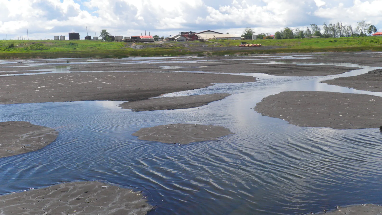
Pitch Lake: microbes in water droplets trapped in oil
The 2014 study found metabolically active microbes in 1–3 microlitre water droplets trapped in Pitch Lake oil. The droplets’ salt levels and water-isotope readings point to a deep underground source, placing this microbial habitat away from the usual oil–water transition zone.[1]
Caroni Swamp: historical freshwater changes
Caroni’s 2005 Ramsar sheet connects changes in drainage and freshwater inflow with the swamp’s salinity. It says the 1921–1922 Cipriani rice-reclamation attempt altered the original drainage. Flood-protection works that began in the 1950s further reduced freshwater inflow and storage, a change the sheet associates with rising salinity.[2]
Tobago’s Main Ridge: rainforest types by setting
A 2011 state-party submission describes three rainforest types on Main Ridge: lower montane, lowland and xerophytic. It places the xerophytic type on the ridge’s southern slopes.[3]
Good to know
A few clear answers before you explore.
What did the 2014 Pitch Lake study find in water droplets trapped in the oil?
It found metabolically active microorganisms in 1–3 microlitre water droplets. The researchers interpreted the droplets’ salinity and stable water isotopes as evidence of a deep subsurface water source.[1]
What changed Caroni Swamp’s freshwater inflow?
The 2005 Ramsar sheet says drainage changed during the attempted rice-reclamation scheme of 1921–1922. It then links flood-protection works that began in the 1950s with lower freshwater inflow, reduced storage and rising salinity.[2]
Which rainforest types does the Main Ridge submission describe?
The submission places xerophytic rainforest on the ridge’s southern slopes and also identifies lower-montane and lowland rainforest.[3]
The WorldStamped community
Every visit becomes part of a story.
- Members with public visits
- 0
- Places with public visits or memories
- 0
- Public memories
- 0
No public visits have been counted here yet. Add this destination to your own map and choose what you want to share.
Members are counted once. Counts include only eligible public activity from profiles that allow search discovery. Private and followers-only content is excluded.