City
Railway reuse and a coastal fort
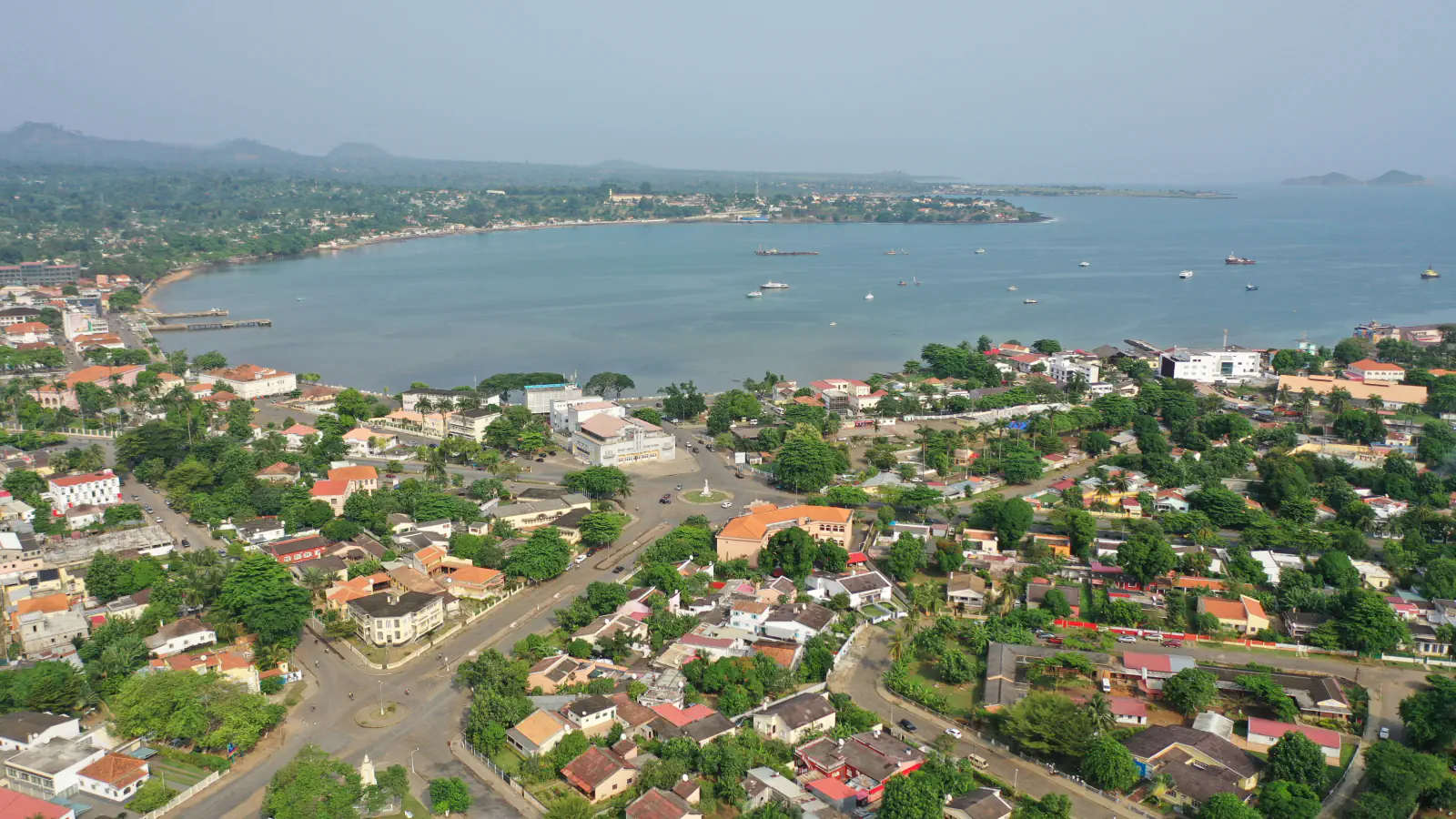
In São Tomé, a former railway building houses CACAU; the market’s portico pattern and the fort’s sea-facing star plan offer two contrasting city forms.
At a glance
A place worth remembering
From railway building to CACAU
The tourism authority dates the CACAU building to the early twentieth century and says it was built to house and maintain trains. It describes the same building as a cultural centre.[1]
Porticoes at the municipal market
The HPIP heritage portal places the Municipal Market on Avenida da Conceição, beside the former municipal cold-store building. The rhythm of the porticoes leading into its interior, used for provisioning, marks the façades.[2]
A star-shaped fort facing the sea
The HPIP entry places São Sebastião Fort at the northern end of the city and dates its construction to about 1566. It describes a quadrangular star with three faces toward the sea.[3]
Good to know
A few clear answers before you explore.
What was the CACAU building built for?
The tourism authority says it was built to house and maintain trains and later became a cultural centre.[1]
How is access arranged at the Municipal Market?
According to HPIP, the rhythm of entrance porticoes leads into the interior and marks the façades.[2]
How does São Sebastião Fort face the sea?
HPIP describes a quadrangular star with three faces toward the sea.[3]
The WorldStamped community
Every visit becomes part of a story.
- Members with public visits
- 0
- Places with public visits or memories
- 0
- Public memories
- 0
No public visits have been counted here yet. Add this destination to your own map and choose what you want to share.
Members are counted once. Counts include only eligible public activity from profiles that allow search discovery. Private and followers-only content is excluded.